Loughrea, street by street
Crannogs in a grey lake, a de Burgo castle of 1236, a cathedral full of Celtic Revival art, and the last country branch line in Ireland.
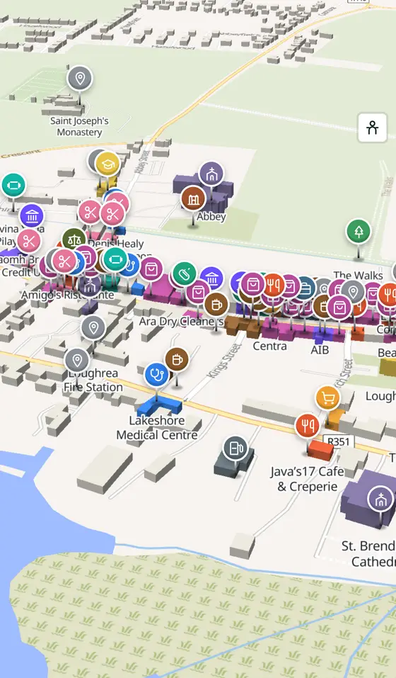
Loughrea is a town of 6,322 people, 33 km east of Galway city. This page is a working model of it: every one of its 3,151 buildings stands on the map above, and 223 shops, cafés, schools, churches and services have a page each, with the street, the hours where recorded, the nearest bus stop and car park, and a plan of the streets around it. Everything comes from open map data and says so.
Live forecast for the centre, hour by hour and the week ahead.
33 km from Galway, 60 km from Aerphort Chonamara, 2 bus stops, 4 car parks.
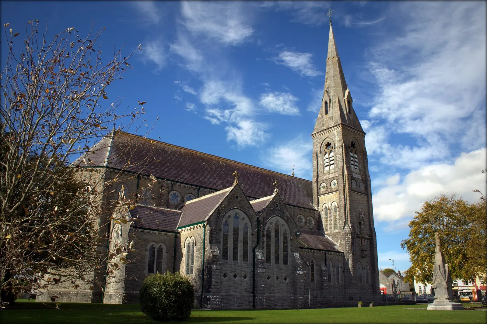
The cathedral, the lake and its crannog, St Mary's Abbey and the town wall, the Walks, the Turoe Stone.
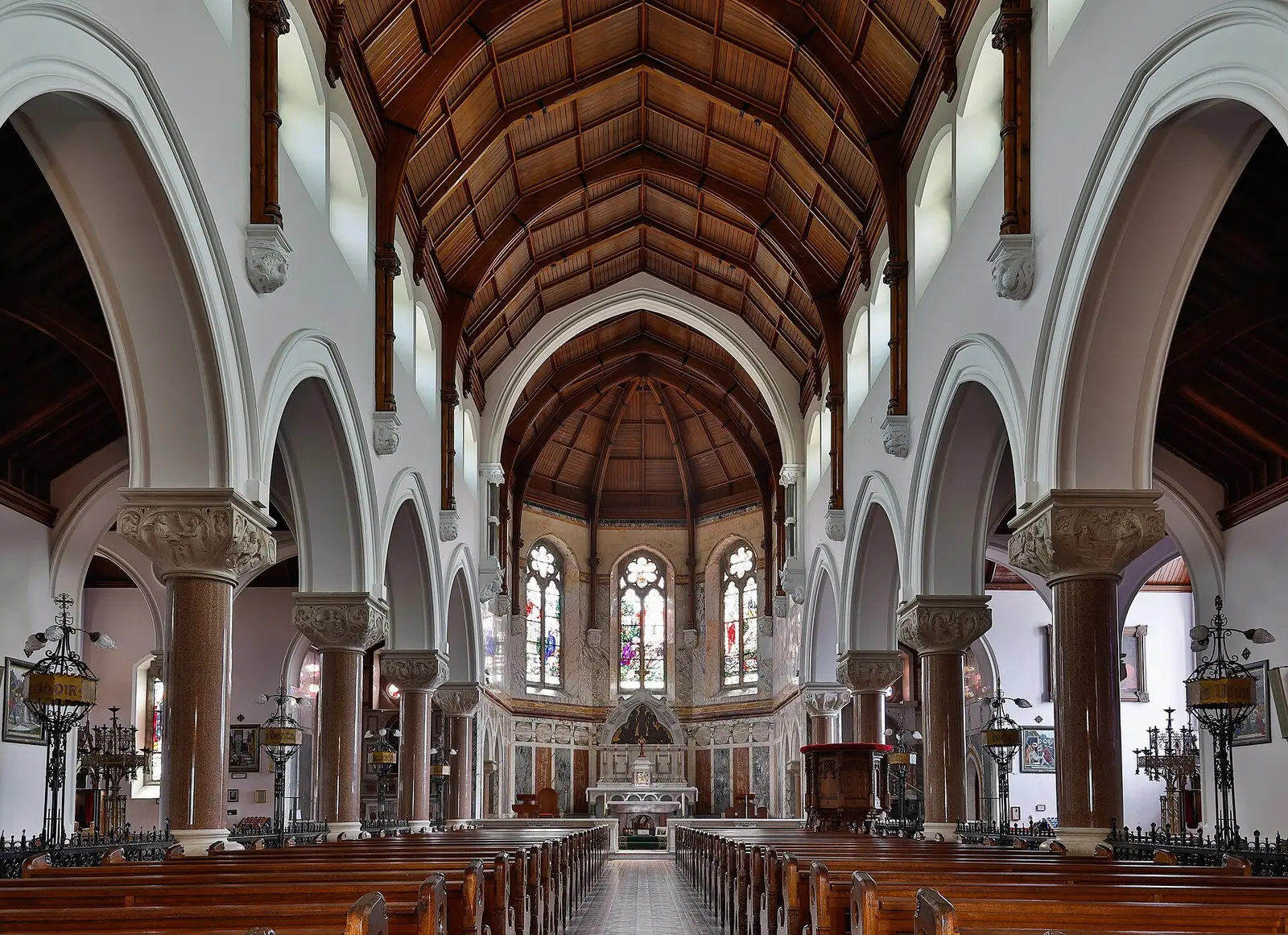
Crannogs, de Burgo's town of 1236, Clanricarde, the garrison, the cathedral, the branch line, the mines.
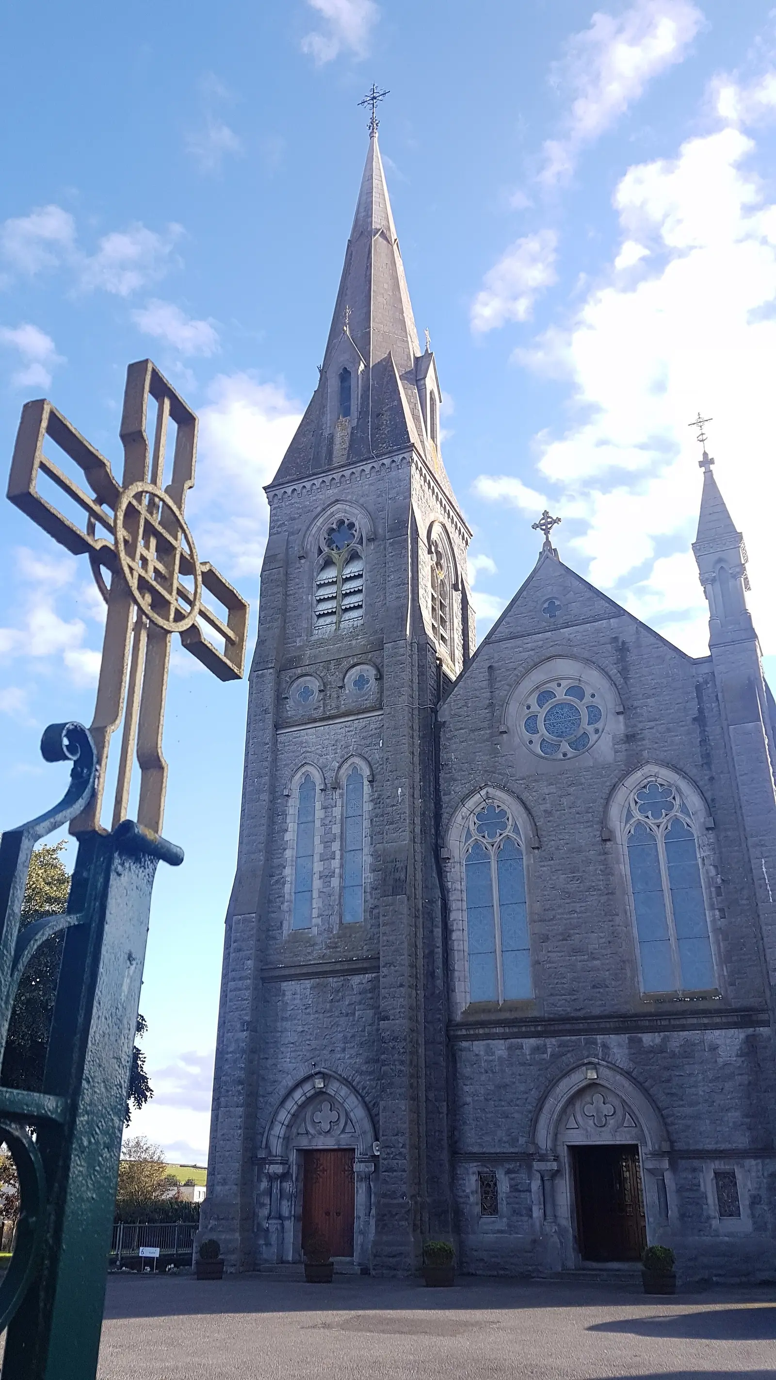
Population 6,322 at the 2022 census, where it is, what is here.
What is in Loughrea
11 restaurants, 12 pubs, 26 shops, 8 hairdressers and beauty and 9 supermarkets and more, by kind. Each kind has a page listing every one, closest to the centre first.
- Restaurants11
- Pubs12
- Shops26
- Hairdressers and beauty8
- Supermarkets9
- Pharmacies3
- Doctors7
- Schools10
- Banks4
- Solicitors2
- Offices and agents5
- Petrol10
- Gyms and sport7
- Hotels3
- Churches4
- Parks and views14
- Castles and heritage63
Guides to Loughrea
All 6 guides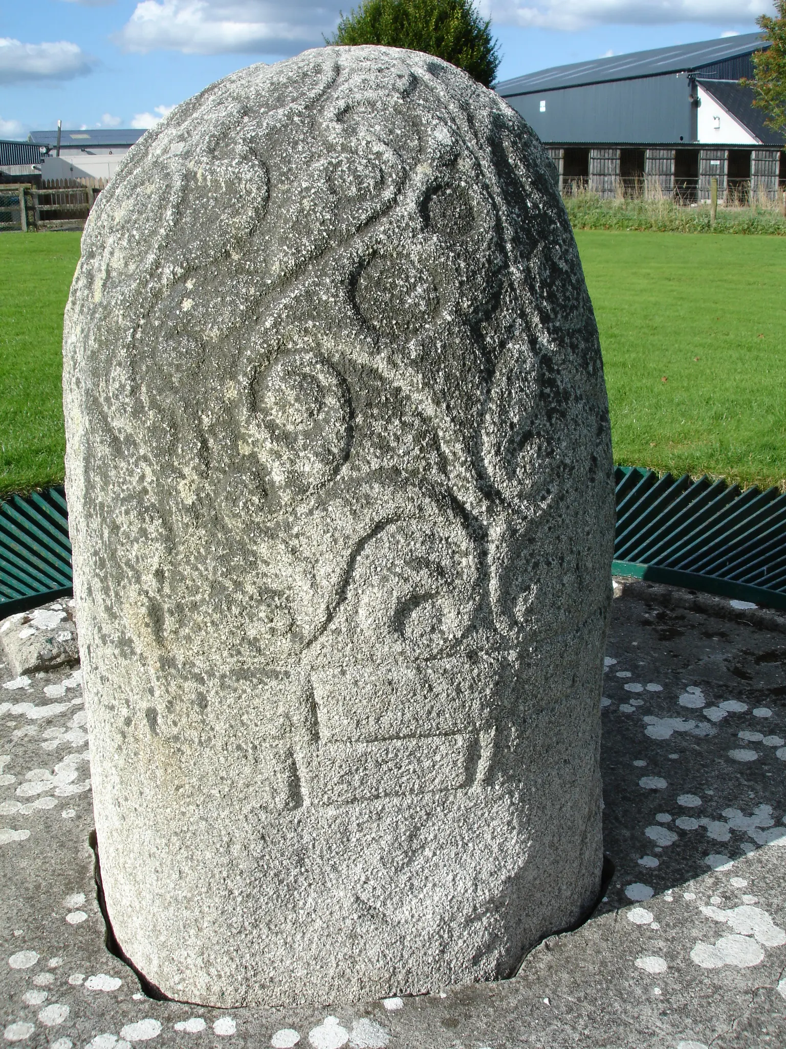
The Turoe Stone is a 1.2-metre granite stone carved in flowing La Tène style around 100 BC to AD 100, normally on the lawn of Turoe…
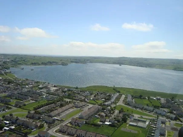
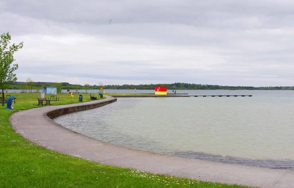
Lough Rea, Loch Riach, the speckled lake, lies against the south side of Loughrea: stocked with trout, pike, perch, rudd, eel and…
Lough Rea, Loch Riach, the speckled lake, lies at the south edge of Loughrea and gives the town its name: stocked with brown trout,…
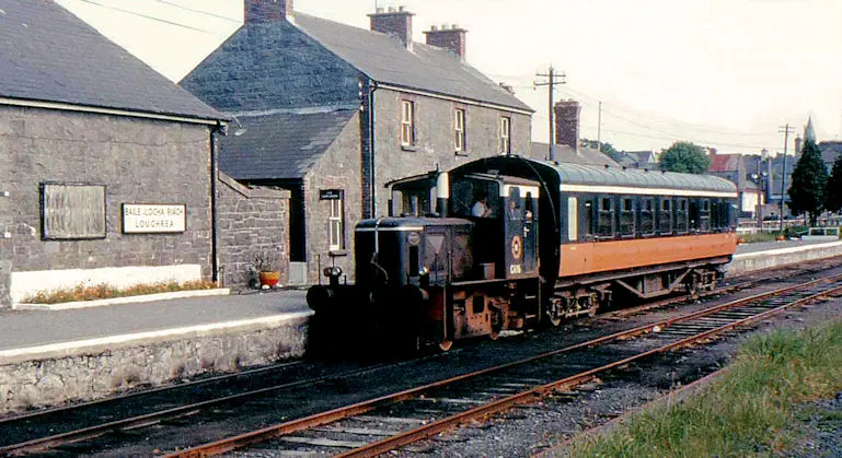
Loughrea station opened in 1890 as the terminus of the branch line from Attymon Junction on the Dublin to Galway line and closed on 3…
East Galway's clubs: Loughrea, founded 1884, county champions first in 1941 and again in 2024; Sarsfields of Bullaun, New Inn and…
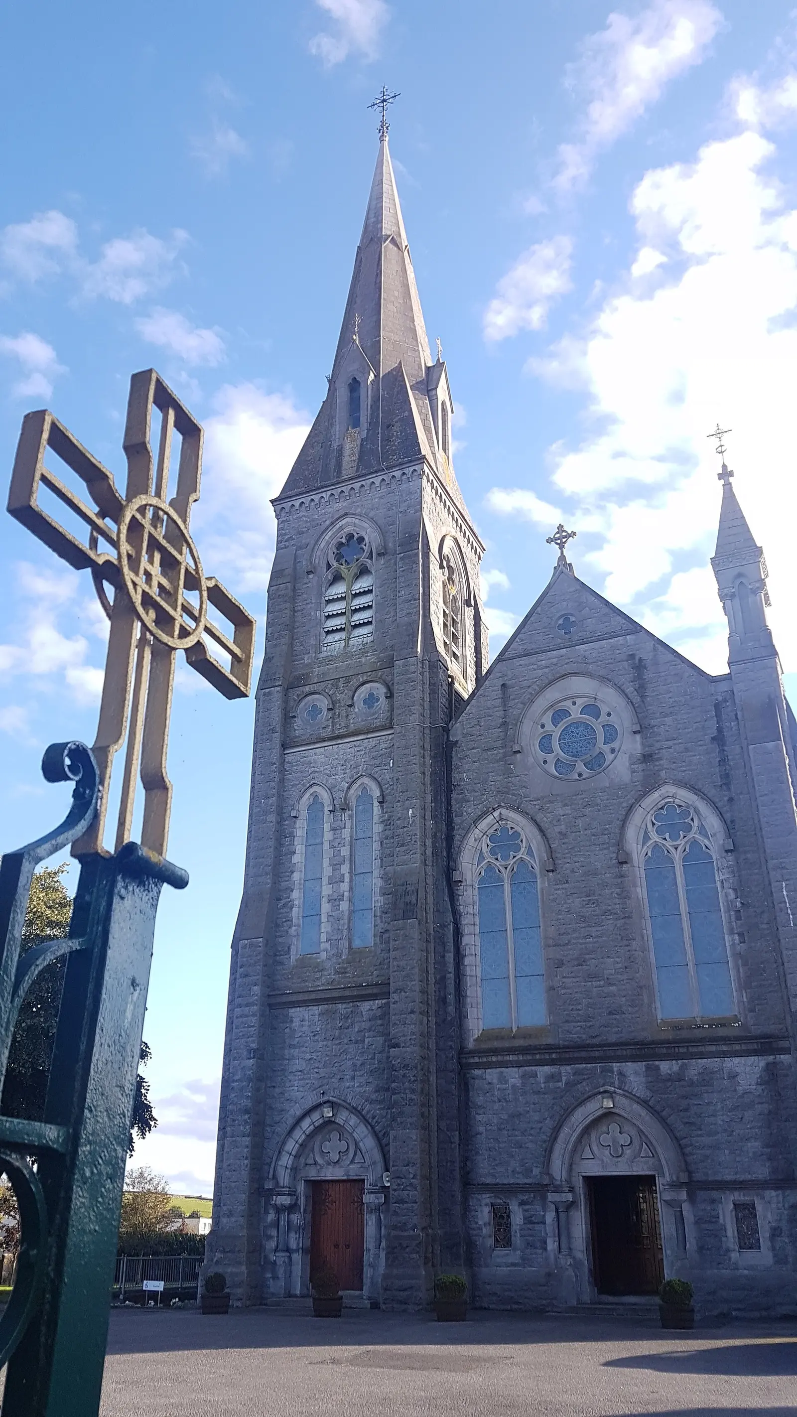
The Cathedral of St Brendan in Loughrea is the cathedral of the Catholic Diocese of Clonfert, a neo-Gothic church holding one of the…
Where to eat in Loughrea
23 cafés, restaurants, takeaways and pubs on the map, 16 of them within 300 m of the centre. 3 have hours on record.
- The Dust InnPubs · Kings Street
- Kinsella’sPubs · Main Street
- Mike Keary’sPubs · Main Street
- The Auld TrianglePubs · Barrack Street
- Supermac'sTakeaways · Main Street
- Moylan’sPubs · Main Street
- John Patrick’sPubs · Main Street
- Charlie’s BarPubs · Main Street
Restaurants · Cafés · Takeaways · Pubs
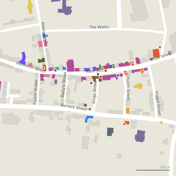
Every place to eat and drink as a pin; tap one for its page and directions.
Street by street
All 90 streets- Main Street50 placesregional road R942 · 301 m
- Bride Street10 placesregional road R942 · 1.8 km
- Dunkellin Street8 placesregional road R942 · 224 m
- Abbey Street7 placesresidential street · 333 m
- Barrack Street7 placesregional road R351 · 636 m
- Loughrea Plaza6 placesroad · 248 m
- Caher Court4 placesresidential street · 61 m
- Church Street3 placesminor road · 140 m
- Lake Road2 placesregional road R351 · 1.7 km
- Station Road2 placesminor road · 453 m
Things to see around Loughrea
Vanessa Kennedy, CC BY 2.0 via Wikimedia Commons

P L Chadwick, CC BY-SA 2.0 via Wikimedia Commons

Andreas F. Borchert, CC BY-SA 4.0 via Wikimedia Commons

Castles, abbeys, old churches, beaches, viewpoints and parks within 12 km, closest first, plus 21 ringforts and ancient sites and 7 holy wells on their own pages.
- The WalksParks · 188 m
- Saint Mary’s AbbeyRuins · 193 m
- Lough ReaLakes · 1.3 km
- The Long PointParks · 1.6 km
- Earlspark DeerparkRuins · 2.1 km
- Earlspark DeerparkRuins · 2.2 km
- Brick LoughLakes · 3.1 km
- Earlspark DeerparkRuins · 3.2 km
- Field System, EarlsparkRuins · 3.3 km
Castles · Ringforts · Holy wells · Hotels
Loughrea in pictures
Photographs of the place and the country around it, each from an open archive and credited to the person who took it.
Sarah777, CC BY-SA 2.0 via Wikimedia Commons

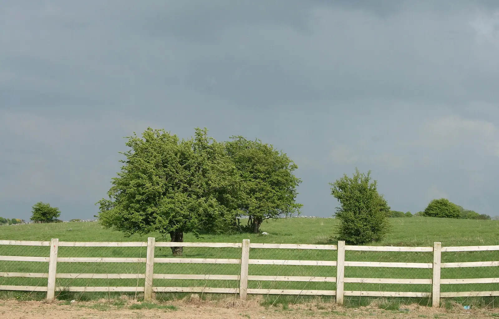
Sarah777, CC BY-SA 2.0 via Wikimedia Commons

P L Chadwick, CC BY-SA 2.0 via Wikimedia Commons
Vanessa Kennedy, CC BY 2.0 via Wikimedia Commons
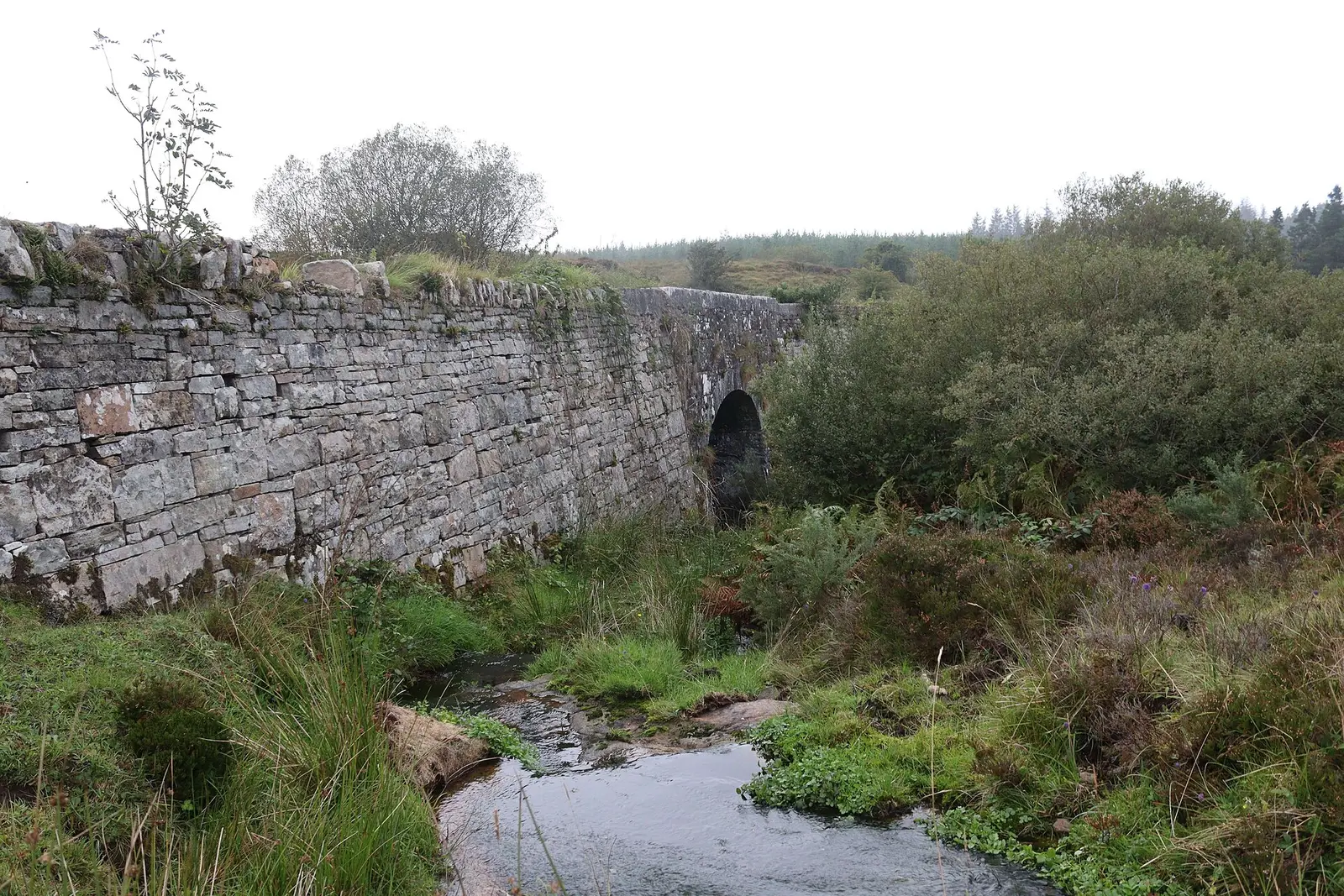
Jason Keane, CC BY-SA 2.0 via Wikimedia Commons

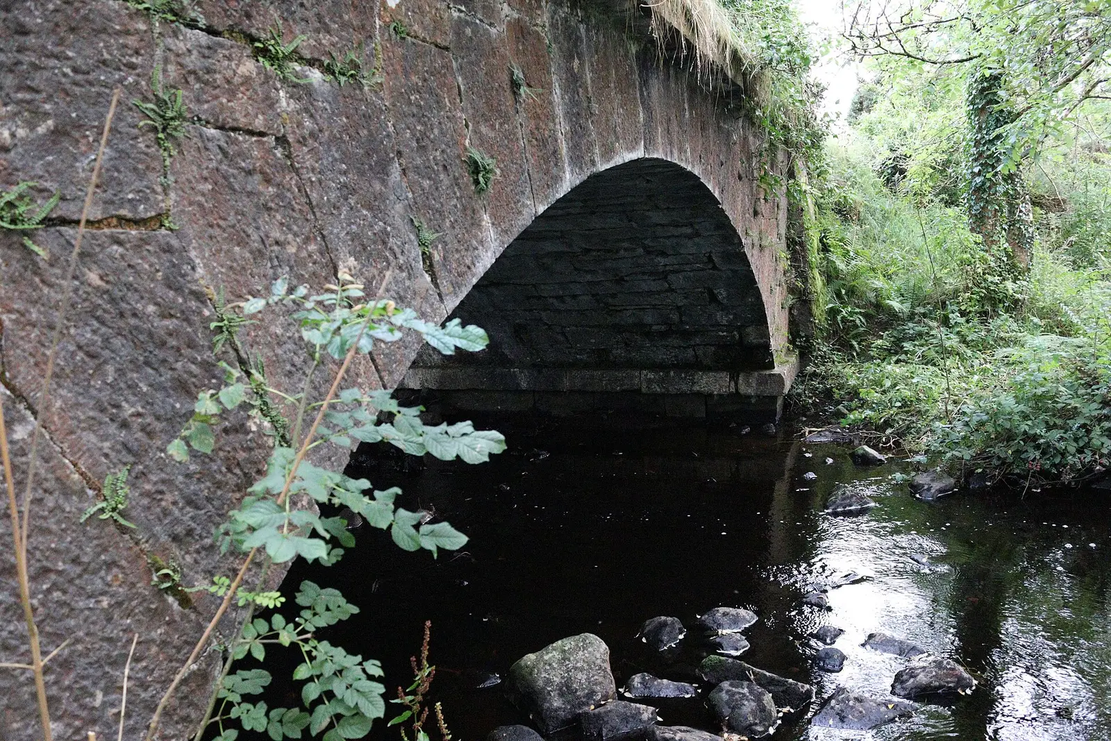
Jason Keane, CC BY-SA 2.0 via Wikimedia Commons

Andreas F. Borchert, CC BY-SA 4.0 via Wikimedia Commons
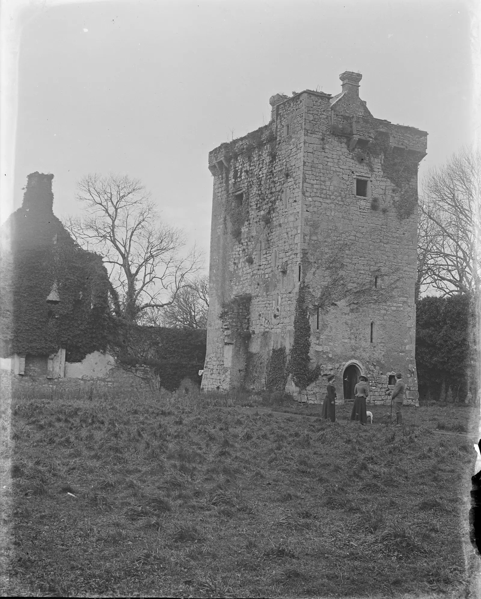
National Library of Ireland on The Commons, no restrictions via Wikimedia Commons

Eurovision2013, CC BY-SA 4.0 via Wikimedia Commons

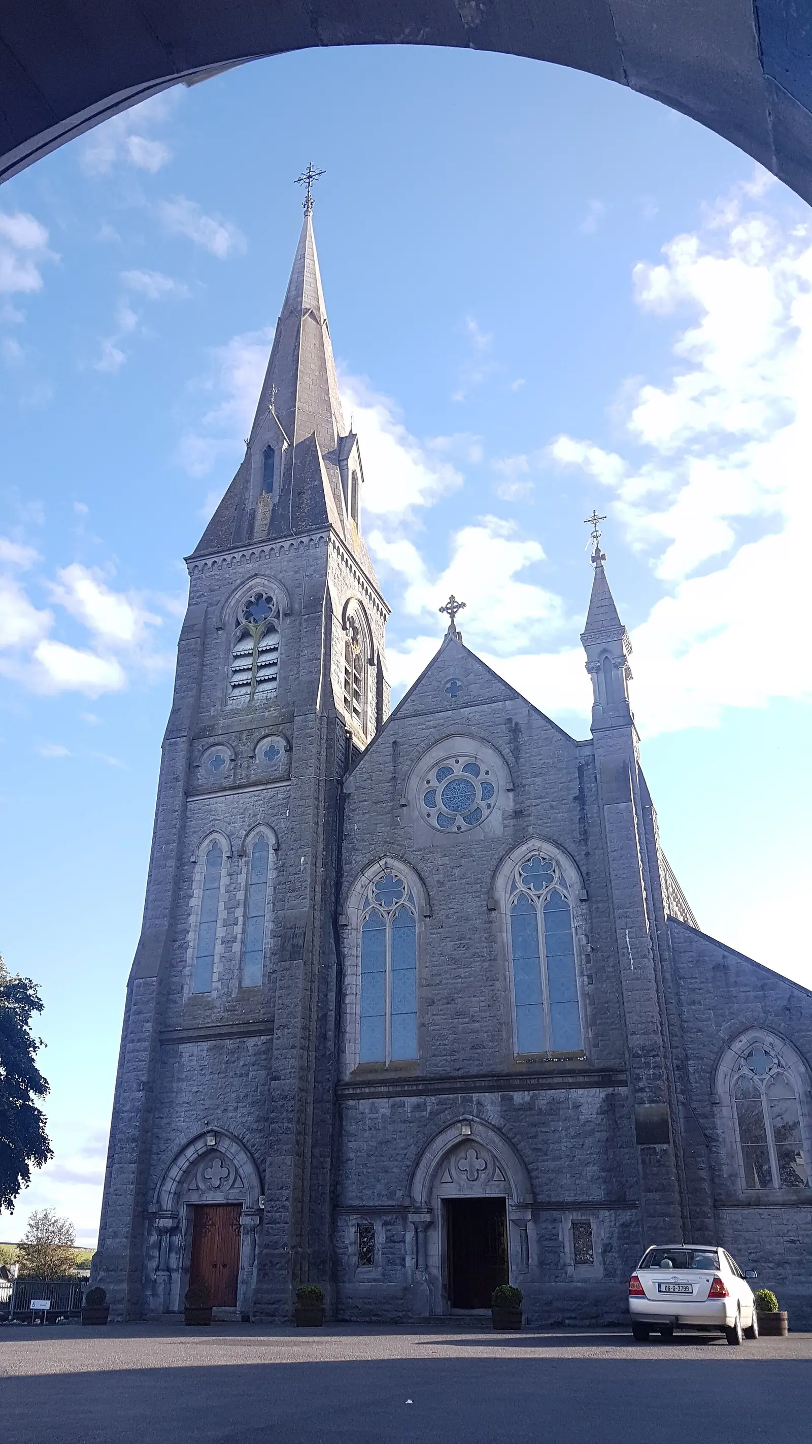
Eurovision2013, CC BY-SA 4.0 via Wikimedia Commons

Questions people ask
Where is Loughrea?
What is the population of Loughrea?
How far is Loughrea from Galway?
What is Loughrea known for?
What is the history of Loughrea?
What is the weather like in Loughrea today?
How the model is built
The buildings are OpenStreetMap footprints, read on 2026-09-18, stood up to the height the map records or a plain two storeys where it records none. Streets, water and the base map come from the same project through OpenFreeMap. Places are the named shops, services and public buildings on the map; each has its own page.
A building takes the colour of the kind of place inside it: restaurants in red, pharmacies in green, schools in yellow. Nothing is invented to fill a gap: a missing fact is shown as missing, with a link to add it to the map. More about the model.