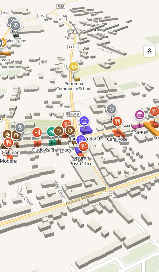
Portumna, street by street
The landing place of the oak where the Shannon opens into Lough Derg: a Clanricarde house of 1618, a workhouse that tells the whole story, a forest of 1,500 acres and the biggest swing bridge in Europe.
Portumna is a town of 1,690 people, 59 km east of Galway city. This page is a working model of it: every one of its 1,363 buildings stands on the map above, and 99 shops, cafés, schools, churches and services have a page each, with the street, the hours where recorded, the nearest bus stop and car park, and a plan of the streets around it. Everything comes from open map data and says so.
Live forecast for the centre, hour by hour and the week ahead.
59 km from Galway, 64 km from Shannon Airport, 1 bus stop, 2 car parks.
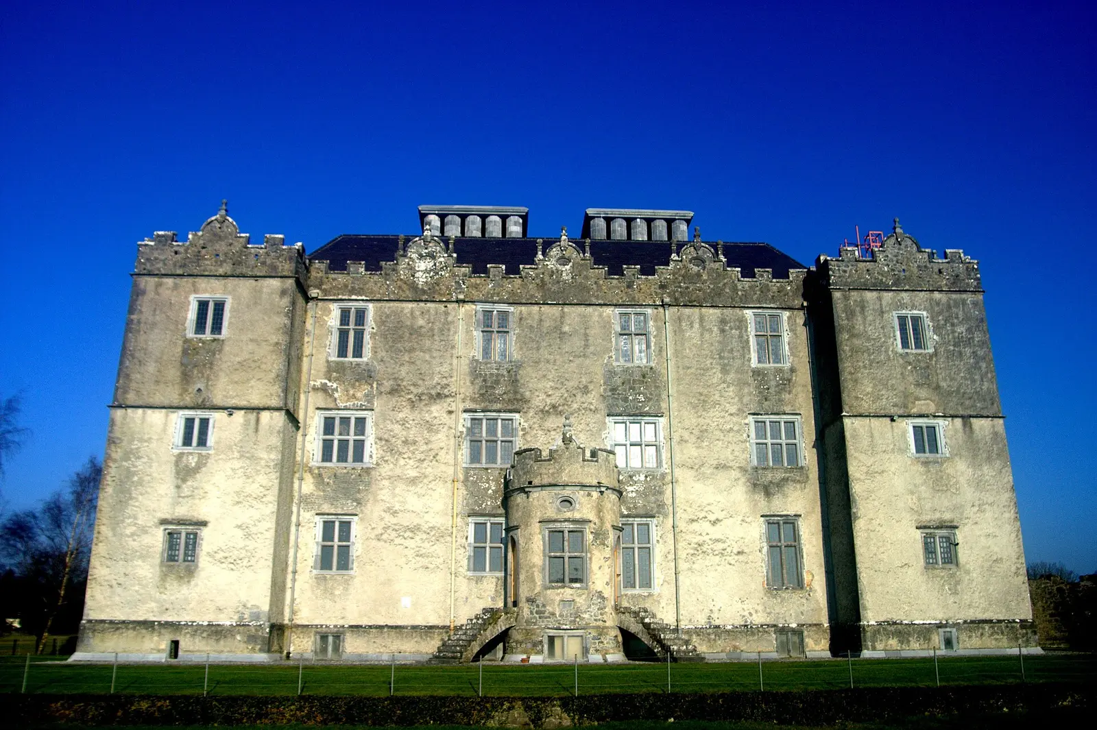
The castle and gardens, the forest park, the workhouse centre, the bridge, the harbours and the Hymany Way.
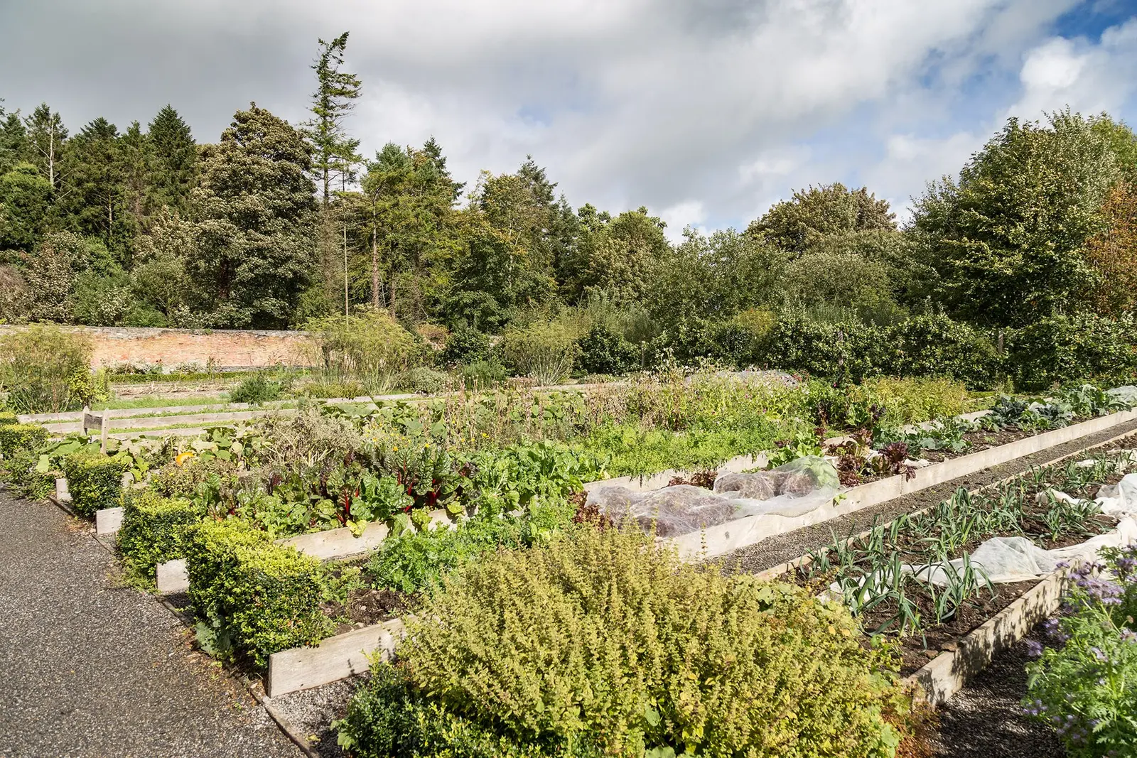
Clanricarde's house, the fire, the workhouse, the Land War, the swing bridge, the forest park.
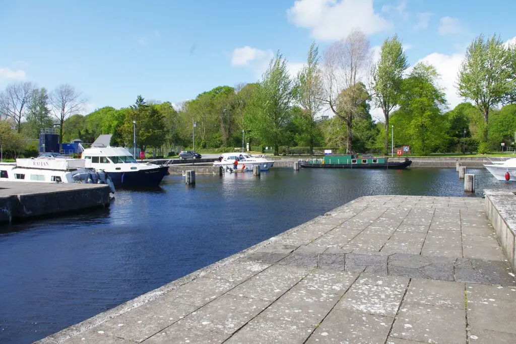
Population 1,690 at the 2022 census, where it is, what is here.
What is in Portumna
7 restaurants, 4 pubs, 2 shops, 3 supermarkets and 1 pharmacies and more, by kind. Each kind has a page listing every one, closest to the centre first.
- Restaurants7
- Pubs4
- Shops2
- Supermarkets3
- Pharmacies1
- Schools1
- Banks2
- Petrol4
- Gyms and sport8
- Hotels2
- Churches6
- Parks and views20
- Castles and heritage30
Guides to Portumna
All 7 guides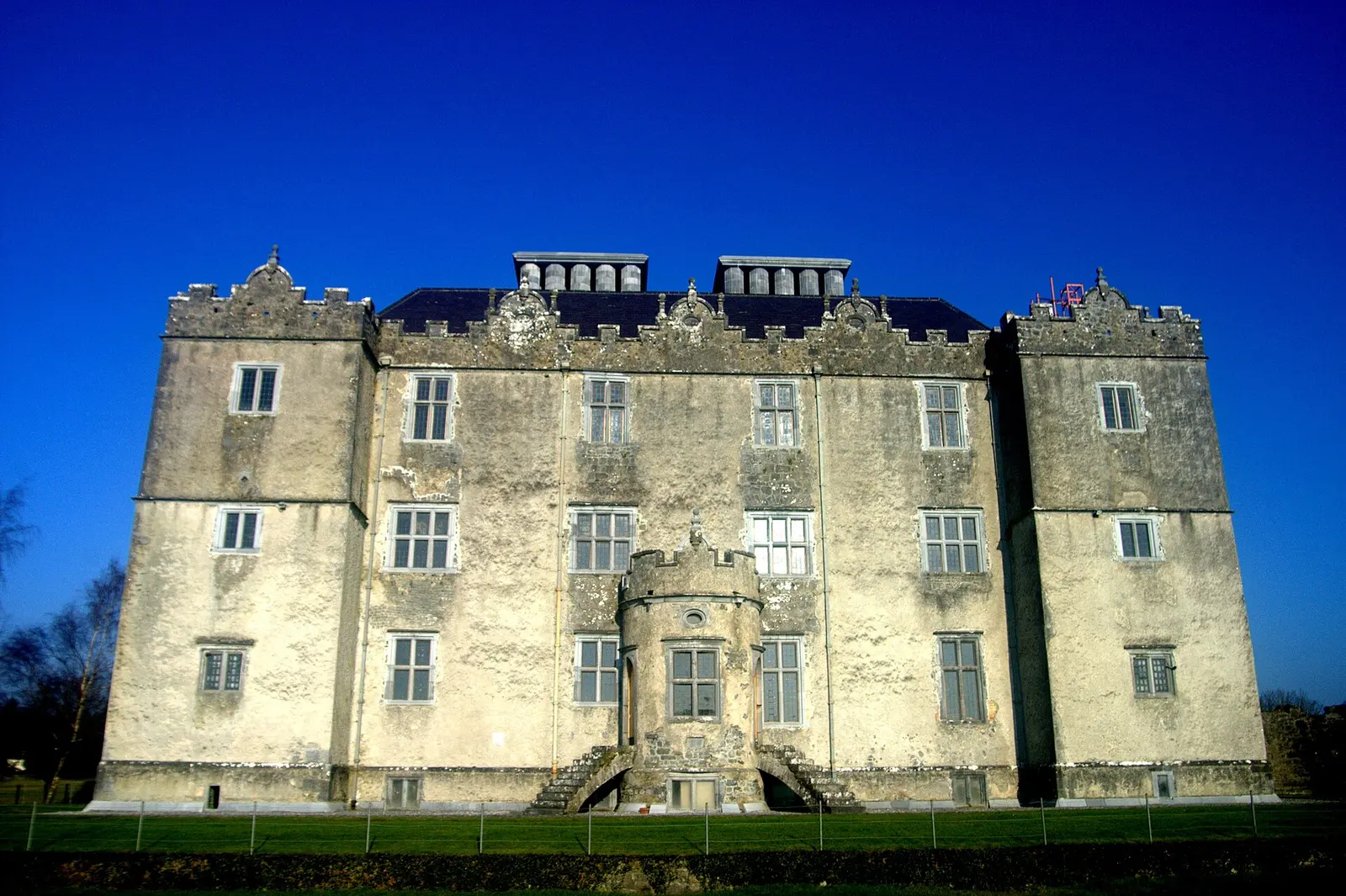
Portumna Castle is the semi-fortified house Richard Burke, 4th Earl of Clanricarde, built between about 1610 and 1617 for 10,000 pounds…
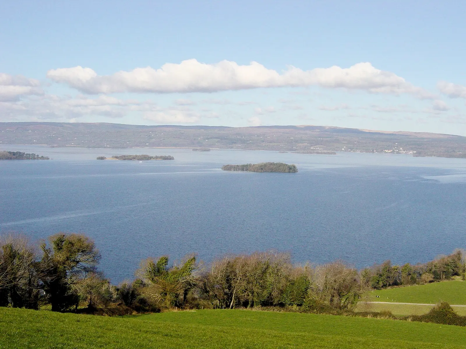
Lough Derg, the Dagda's red eye, is the Shannon's largest lake and Ireland's third: 130 square kilometres, 36 metres deep, 38.6 km…
Portumna Abbey, 500 metres south of the town centre beside Portumna Castle on the shore of Lough Derg, began as a Cistercian chapel of…
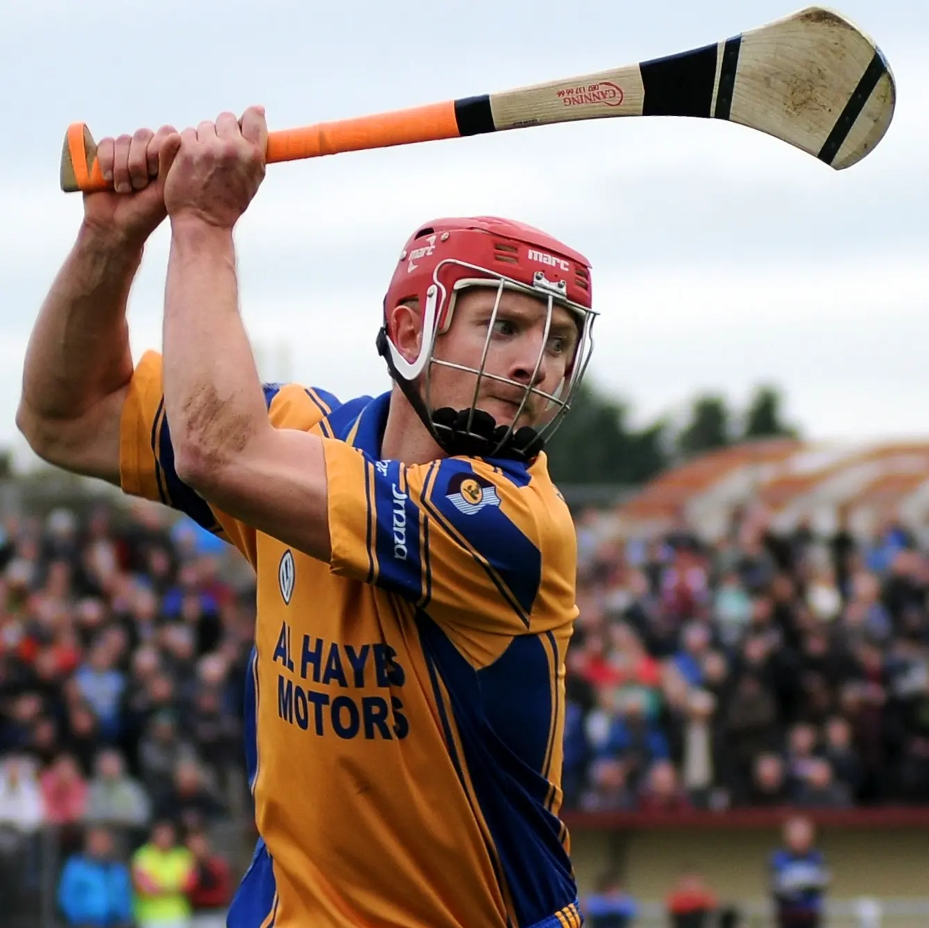
Joe Canning, born in Portumna on 11 October 1988, is regarded as one of the greatest hurlers ever: 14 seasons with Galway, five…
Three national secondary roads serve east and south Galway: the 52.5 km N65 from Borrisokane in Tipperary over Portumna bridge on the…
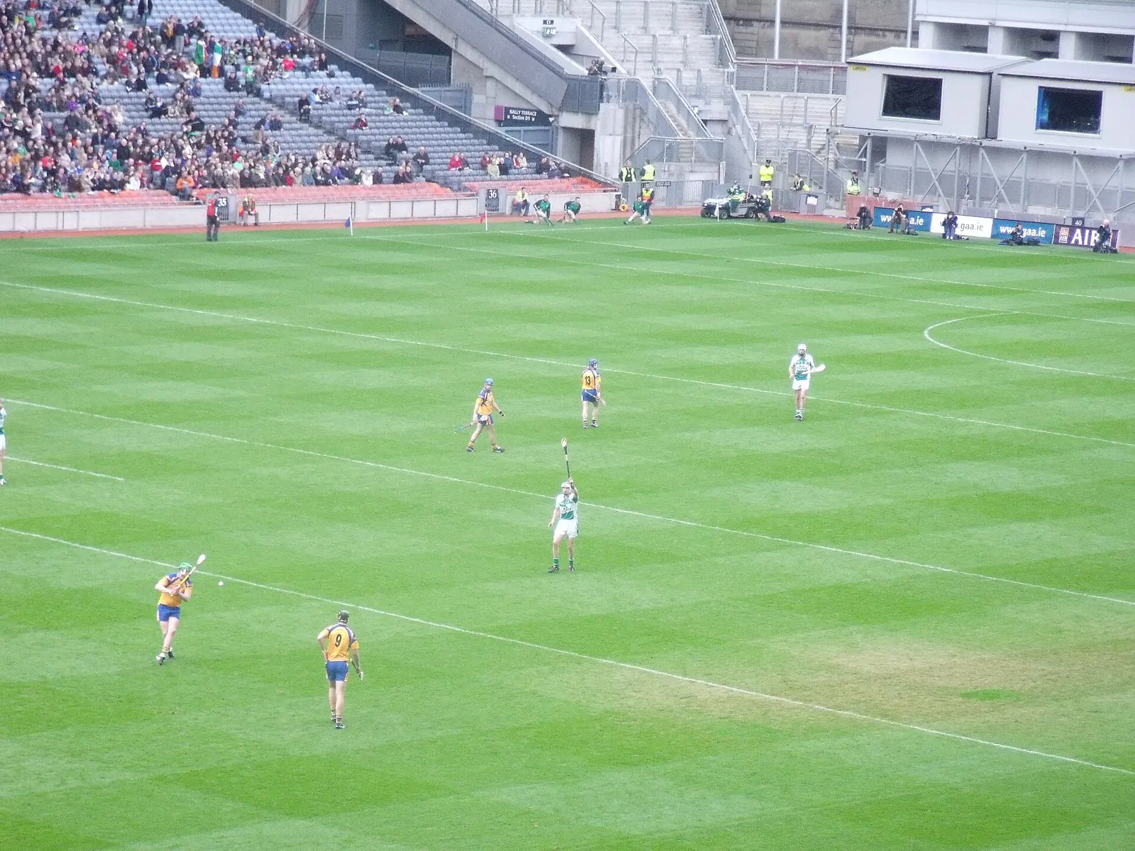
Portumna GAA, founded in 1888 on the Galway and Tipperary border, played football first and hurling from 1910, won the county junior…
Where to eat in Portumna
11 cafés, restaurants, takeaways and pubs on the map, 10 of them within 300 m of the centre. 0 have hours on record.
- Horan's Corner HousePubs · Saint Brendan's Street
- Golden CityRestaurants · Saint Brendan's Street
- The Boathouse BarPubs · Saint Brendan's Street
- Roma Take Away RestaurantTakeaways · Saint Patrick Street
- Cafe RoseCafés · Clonfert Avenue
- Supermac'sTakeaways · Saint Brendan's Street
- Curley's BarPubs · Saint Brendan's Street
- An CaisleánPubs · Saint Brendan's Street
Restaurants · Cafés · Takeaways · Pubs
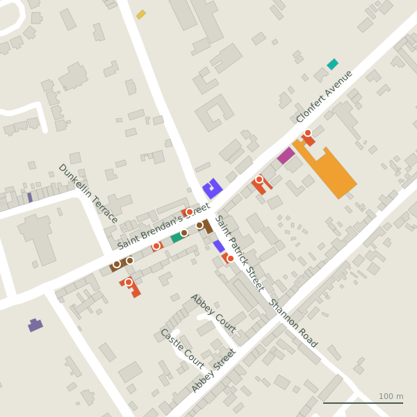
Every place to eat and drink as a pin; tap one for its page and directions.
Street by street
All 28 streets- Saint Brendan's Street10 placesnational road N65 · 267 m
- Clonfert Avenue7 placesnational road N65 · 564 m
- St Brendan's Road4 placesnational road N65 · 751 m
- Bridge Road2 placesresidential street N65 · 846 m
- Dominic Street2 placeslink road L4327 · 611 m
- Saint Patrick Street2 placeslink road · 156 m
- Abbey Street1 placelink road · 229 m
- Castle Avenue1 placelink road L4326 · 224 m
- Dunkellin Terrace1 placelink road L4328 · 208 m
- Hymany Way1 placeservice road · 3.1 km
Things to see around Portumna
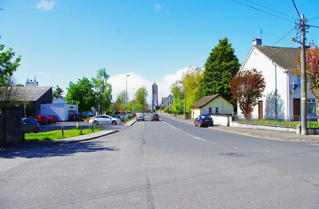
P L Chadwick, CC BY-SA 2.0 via Wikimedia Commons

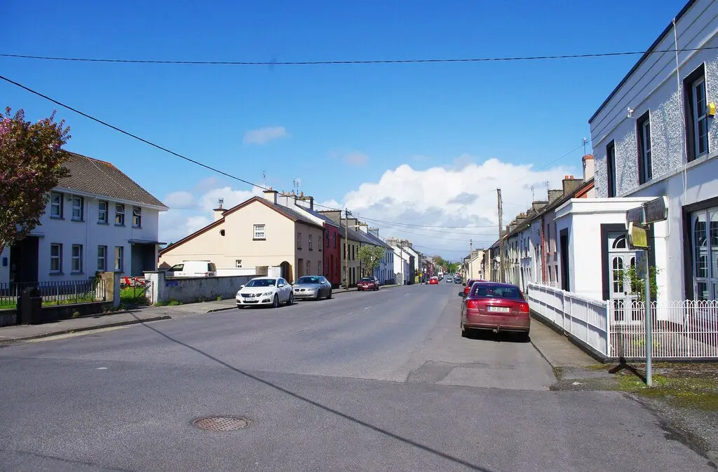
P L Chadwick, CC BY-SA 2.0 via Wikimedia Commons

No machine-readable author provided. Bogman assumed (based on copyright claims)., CC BY 2.5 via Wikimedia Commons

Castles, abbeys, old churches, beaches, viewpoints and parks within 12 km, closest first, plus 4 ringforts and ancient sites and 3 holy wells on their own pages.
- Gate HouseCastles · 508 m
- Portumna Castle and GardensAttractions · 566 m
- Portumna CastleCastles · 660 m
- Portumna FriaryAbbeys · 702 m
- Roach IslandWoods · 1.2 km
- SpindillaunWoods · 1.2 km
- Burke's IslandWoods · 1.4 km
- Windmill (ruins)Ruins · 2.3 km
- Church (ruins)Ruins · 2.6 km
Portumna in pictures
Photographs of the place and the country around it, each from an open archive and credited to the person who took it.
P L Chadwick, CC BY-SA 2.0 via Wikimedia Commons
P L Chadwick, CC BY-SA 2.0 via Wikimedia Commons
No machine-readable author provided. Bogman assumed (based on copyright claims)., CC BY 2.5 via Wikimedia Commons
David P Howard, CC BY-SA 2.0 via Wikimedia Commons

P L Chadwick, CC BY-SA 2.0 via Wikimedia Commons

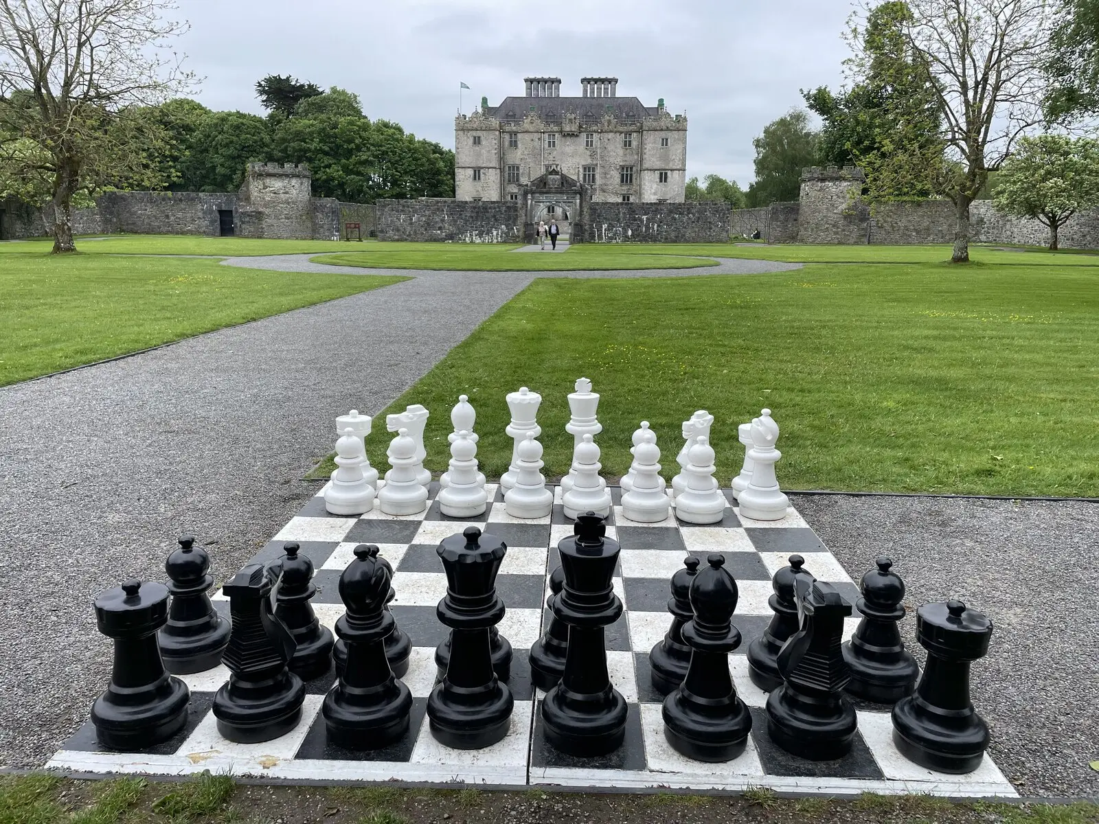
Nigel Thompson, CC BY-SA 2.0 via Wikimedia Commons

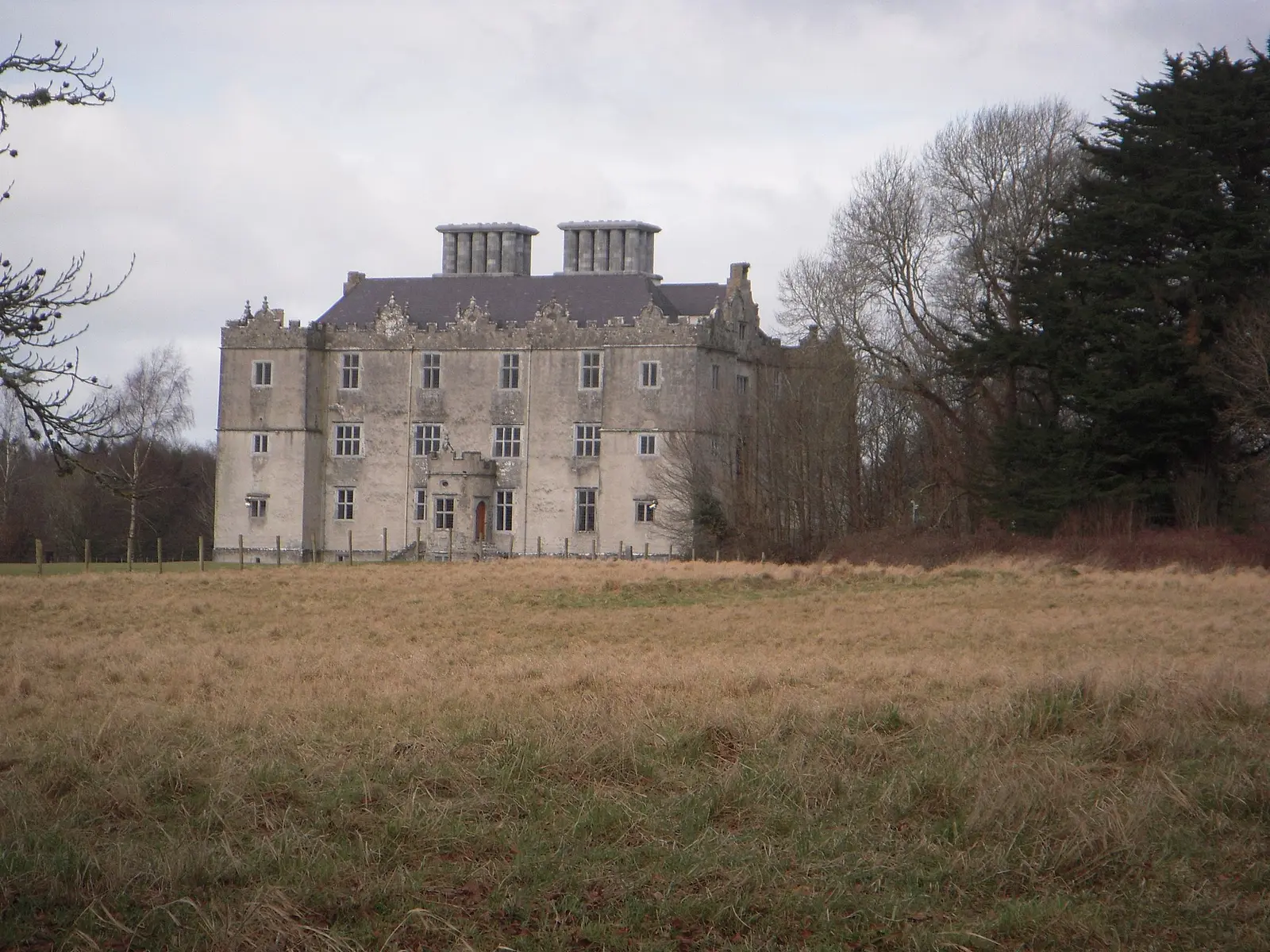
C O'Flanagan, CC BY-SA 2.0 via Wikimedia Commons

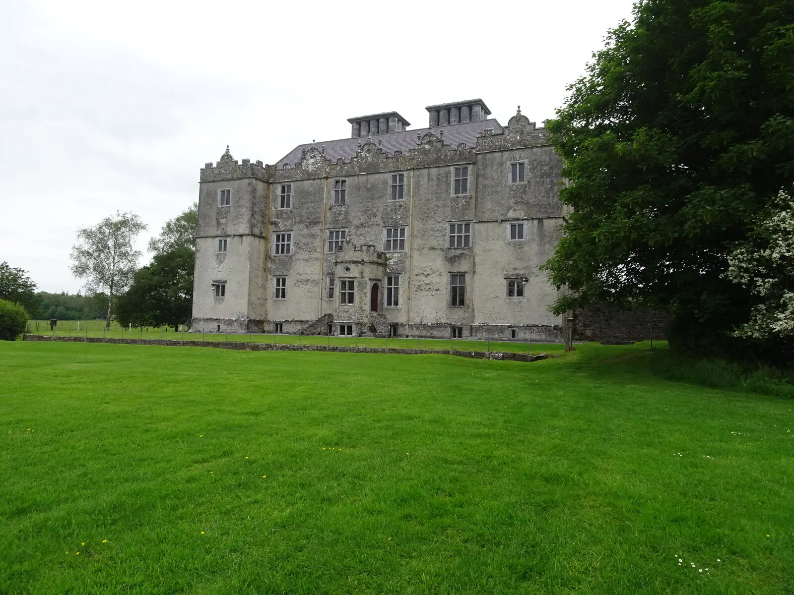
Nigel Thompson, CC BY-SA 2.0 via Wikimedia Commons

Questions people ask
Where is Portumna?
What is the population of Portumna?
How far is Portumna from Galway?
What is Portumna known for?
What is the history of Portumna?
What is the weather like in Portumna today?
How the model is built
The buildings are OpenStreetMap footprints, read on 2026-09-18, stood up to the height the map records or a plain two storeys where it records none. Streets, water and the base map come from the same project through OpenFreeMap. Places are the named shops, services and public buildings on the map; each has its own page.
A building takes the colour of the kind of place inside it: restaurants in red, pharmacies in green, schools in yellow. Nothing is invented to fill a gap: a missing fact is shown as missing, with a link to add it to the map. More about the model.