Oranmore, street by street
The great spring on an inlet of Galway Bay, a Clanricarde tower house, a church turned library, and the Galway Shawl's own town.
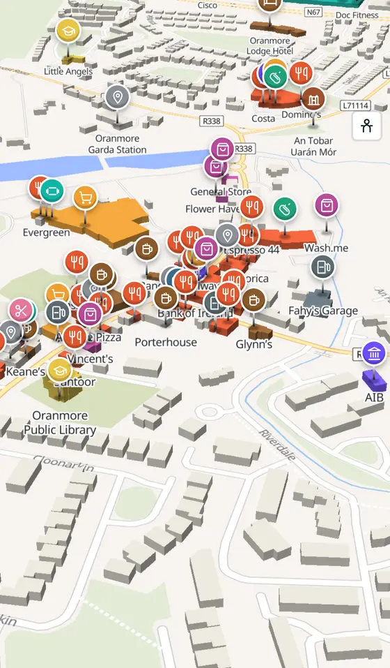
Oranmore is a town of 5,819 people, 8 km east of Galway city. This page is a working model of it: every one of its 2,481 buildings stands on the map above, and 262 shops, cafés, schools, churches and services have a page each, with the street, the hours where recorded, the nearest bus stop and car park, and a plan of the streets around it. Everything comes from open map data and says so.
Live forecast for the centre, hour by hour and the week ahead.
8 km from Galway, 36 km from Aerphort Chonamara, 3 bus stops, 0 car parks.
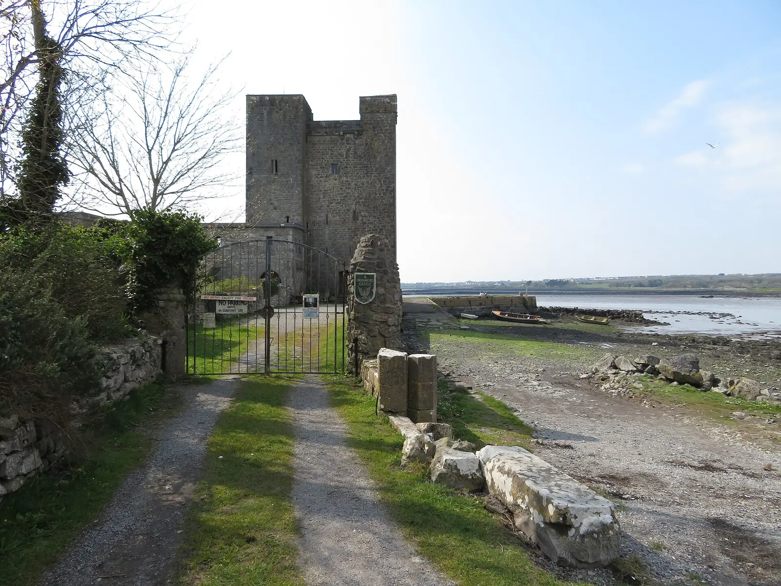
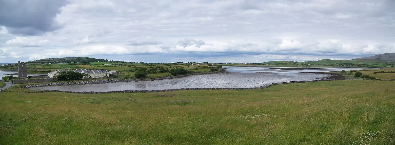
The castle, the old church, St Mary's library, Renville Park and the bay.
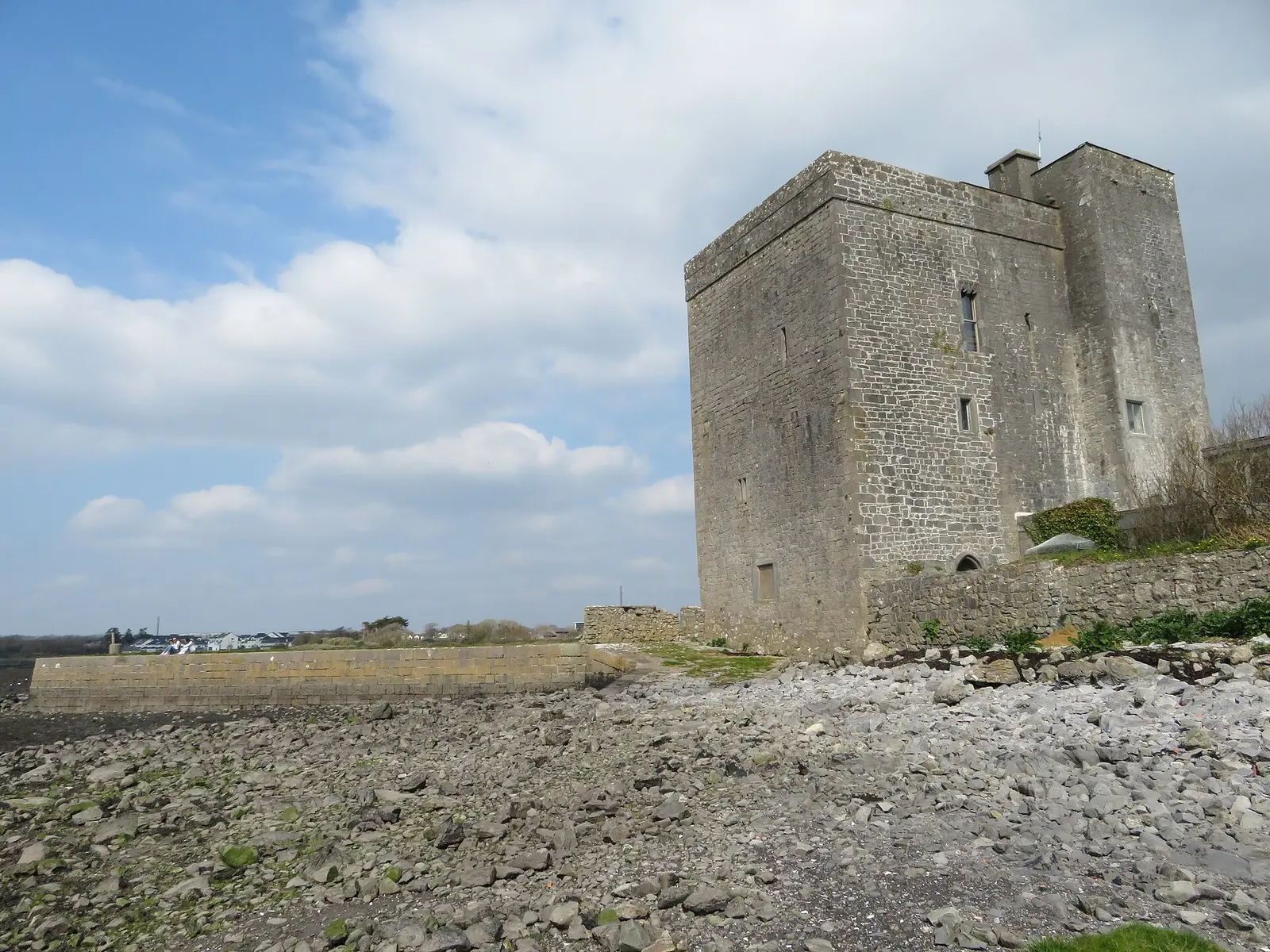
The great spring, the old church, the Clanricarde castle, St Mary's, the aerodrome.
Population 5,819 at the 2022 census, where it is, what is here.
What is in Oranmore
21 restaurants, 6 pubs, 7 shops, 1 hairdressers and beauty and 8 supermarkets and more, by kind. Each kind has a page listing every one, closest to the centre first.
- Restaurants21
- Pubs6
- Shops7
- Hairdressers and beauty1
- Supermarkets8
- Pharmacies3
- Schools7
- Banks4
- Solicitors1
- Offices and agents2
- Petrol7
- Gyms and sport10
- Hotels5
- Churches3
- Parks and views59
- Castles and heritage79
Guides to Oranmore
All 6 guides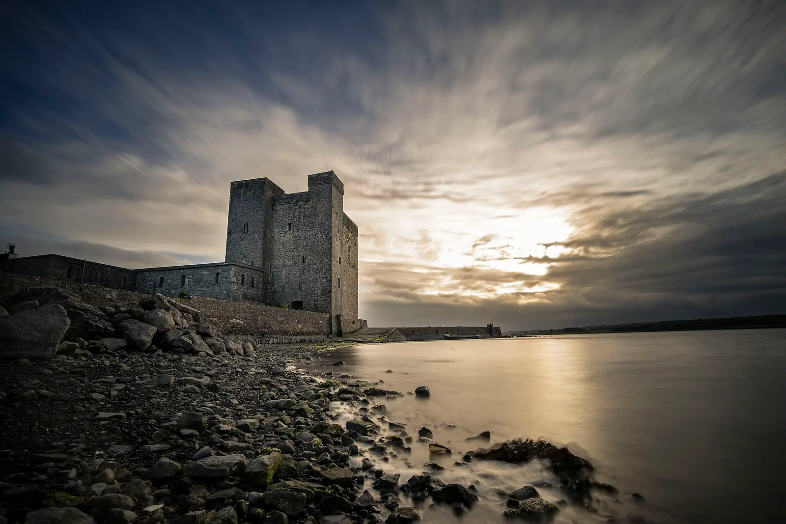
The Galway Shawl is the traditional courtship song set in Oranmore in May: a girl in a bonnet with ribbons and a Galway shawl, her…
Galway Hooker Brewery in Oranmore was founded in 2006 by the cousins Aidan Murphy and Ronan Brennan, its name chosen by online…

Bundee Aki, born Fua Leiofi Bundellu Aki in Ōtāhuhu, Auckland, on 7 April 1990, of Samoan descent, played for Counties Manukau and won…
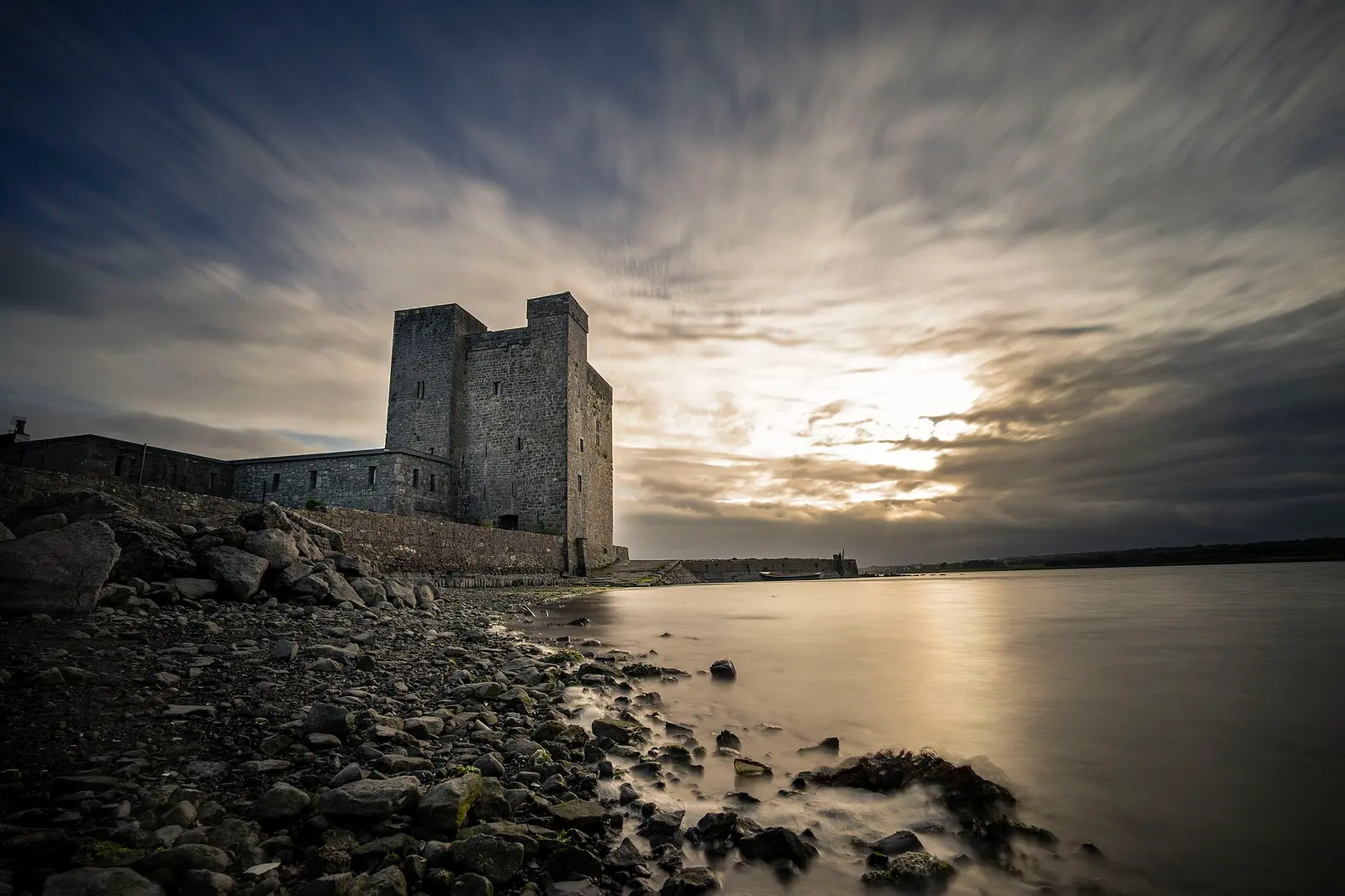
Oranmore Castle is the four-storey 15th-century tower house on the shore of Galway Bay that the Clanricardes held through the rebellion…
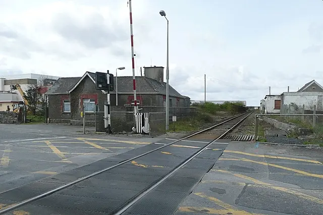
Oranmore station at Garraun is a stop on the Dublin to Galway intercity and the Galway to Athenry, Athlone and Limerick commuter…
Calasanctius College is the co-educational secondary school for Oranmore, Carnmore, Claregalway, Clarinbridge, Kilcolgan and the south…
Where to eat in Oranmore
27 cafés, restaurants, takeaways and pubs on the map, 21 of them within 300 m of the centre. 7 have hours on record.
- PorterhousePubs · Main Street
- Urban PizzaTakeaways
- Oran TandooriRestaurants · Main Street
- Glynn’sPubs · Dublin Road
- Péarla na MaraRestaurants
- Giovannis OranmoreTakeaways · Main Street
- Supermac'sTakeaways · Main Street
- Delice Bakery and CoffeeCafés · Main Street
Restaurants · Cafés · Takeaways · Pubs
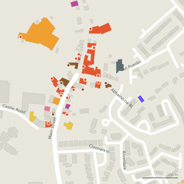
Every place to eat and drink as a pin; tap one for its page and directions.
Street by street
All 51 streets- Main Street26 placeslink road L71083 · 915 m
- Deerpark Industrial Estate7 placesminor road L81081 · 548 m
- Oranmore Business Park6 placesservice road · 878 m
- Station Road6 placeslink road L71114 · 607 m
- Bluebell Woods4 placesresidential street · 1.9 km
- Castle Road3 placesresidential street · 315 m
- Carrowmoneash2 placesresidential street · 240 m
- Carrowmoneash Roundabout2 placesnational road N67 · 199 m
- Abhainn na Rí1 placeresidential street · 476 m
- Cloch Óg1 placeresidential street · 1.7 km
Things to see around Oranmore
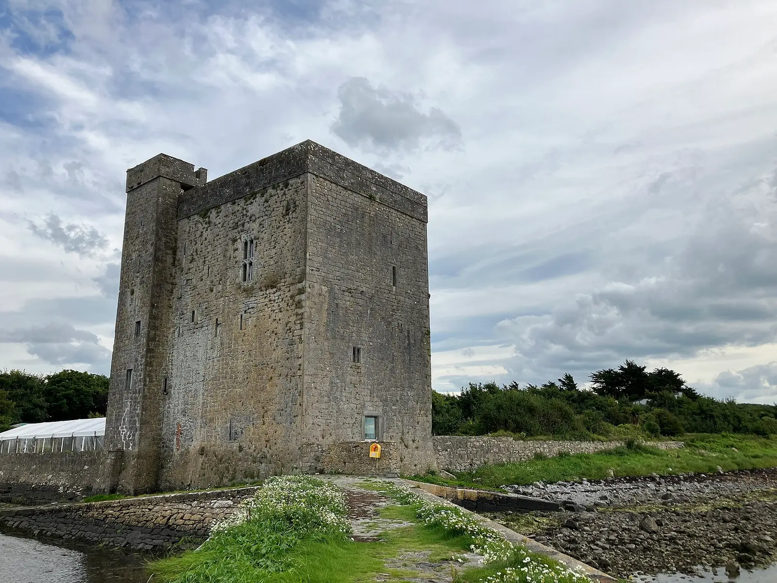
Einaz80, CC BY-SA 4.0 via Wikimedia Commons

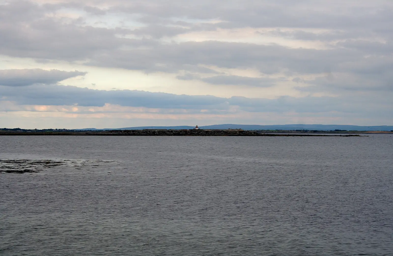
Andrew Wood, CC BY-SA 2.0 via Wikimedia Commons

Gareth James, CC BY-SA 2.0 via Wikimedia Commons

Castles, abbeys, old churches, beaches, viewpoints and parks within 12 km, closest first, plus 24 ringforts and ancient sites and 3 holy wells on their own pages.
- Oranmore CastleCastles · 456 m
- An Tobar Uarán MórRuins · 463 m
- LoughaunroneLakes · 1.7 km
- Rinville CastleCastles · 3.1 km
- North WoodWoods · 3.2 km
- Renville ParkParks · 3.3 km
- South WoodWoods · 3.3 km
- Stafort HouseRuins · 3.3 km
- PollacullaireLakes · 3.4 km
Castles · Ringforts · Holy wells · Beaches · Hotels
Oranmore in pictures
Photographs of the place and the country around it, each from an open archive and credited to the person who took it.
Einaz80, CC BY-SA 4.0 via Wikimedia Commons
Andrew Wood, CC BY-SA 2.0 via Wikimedia Commons
Gareth James, CC BY-SA 2.0 via Wikimedia Commons
Gareth James, CC BY-SA 2.0 via Wikimedia Commons

BdelosArcos, CC BY 4.0 via Wikimedia Commons

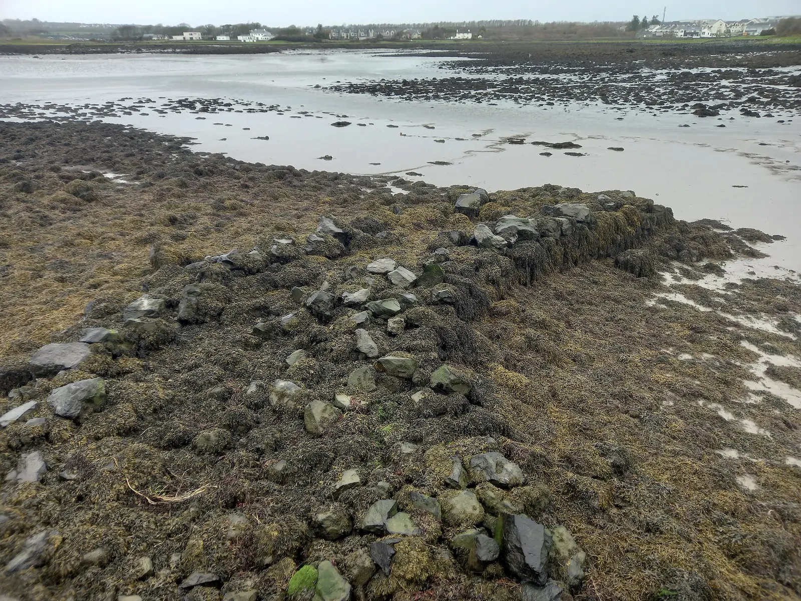
Sheila1988, CC BY-SA 4.0 via Wikimedia Commons

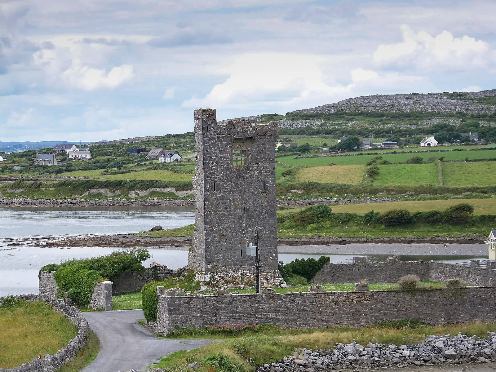
Einaz80, CC BY-SA 4.0 via Wikimedia Commons

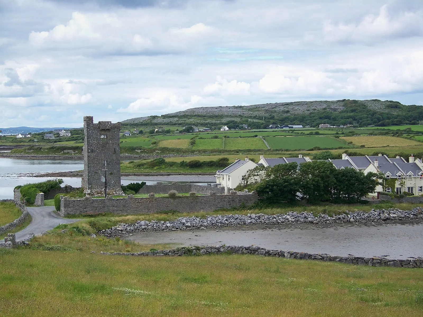
Einaz80, CC BY-SA 4.0 via Wikimedia Commons

Questions people ask
Where is Oranmore?
What is the population of Oranmore?
How far is Oranmore from Galway?
What is Oranmore known for?
What is the history of Oranmore?
What is the weather like in Oranmore today?
How the model is built
The buildings are OpenStreetMap footprints, read on 2026-09-18, stood up to the height the map records or a plain two storeys where it records none. Streets, water and the base map come from the same project through OpenFreeMap. Places are the named shops, services and public buildings on the map; each has its own page.
A building takes the colour of the kind of place inside it: restaurants in red, pharmacies in green, schools in yellow. Nothing is invented to fill a gap: a missing fact is shown as missing, with a link to add it to the map. More about the model.