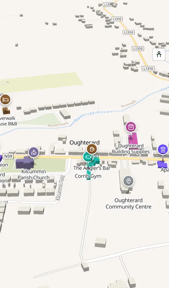
Oughterard, street by street
The Owenriff running into Lough Corrib, an O'Flaherty tower at Aughnanure, a silver mine you can walk into, and the chief angling town on the Corrib.
Oughterard is a town of 1,846 people, 25 km north-west of Galway city. This page is a working model of it: every one of its 1,940 buildings stands on the map above, and 141 shops, cafés, schools, churches and services have a page each, with the street, the hours where recorded, the nearest bus stop and car park, and a plan of the streets around it. Everything comes from open map data and says so.
Live forecast for the centre, hour by hour and the week ahead.
25 km from Galway, 24 km from Aerphort Chonamara, 4 bus stops, 1 car park.
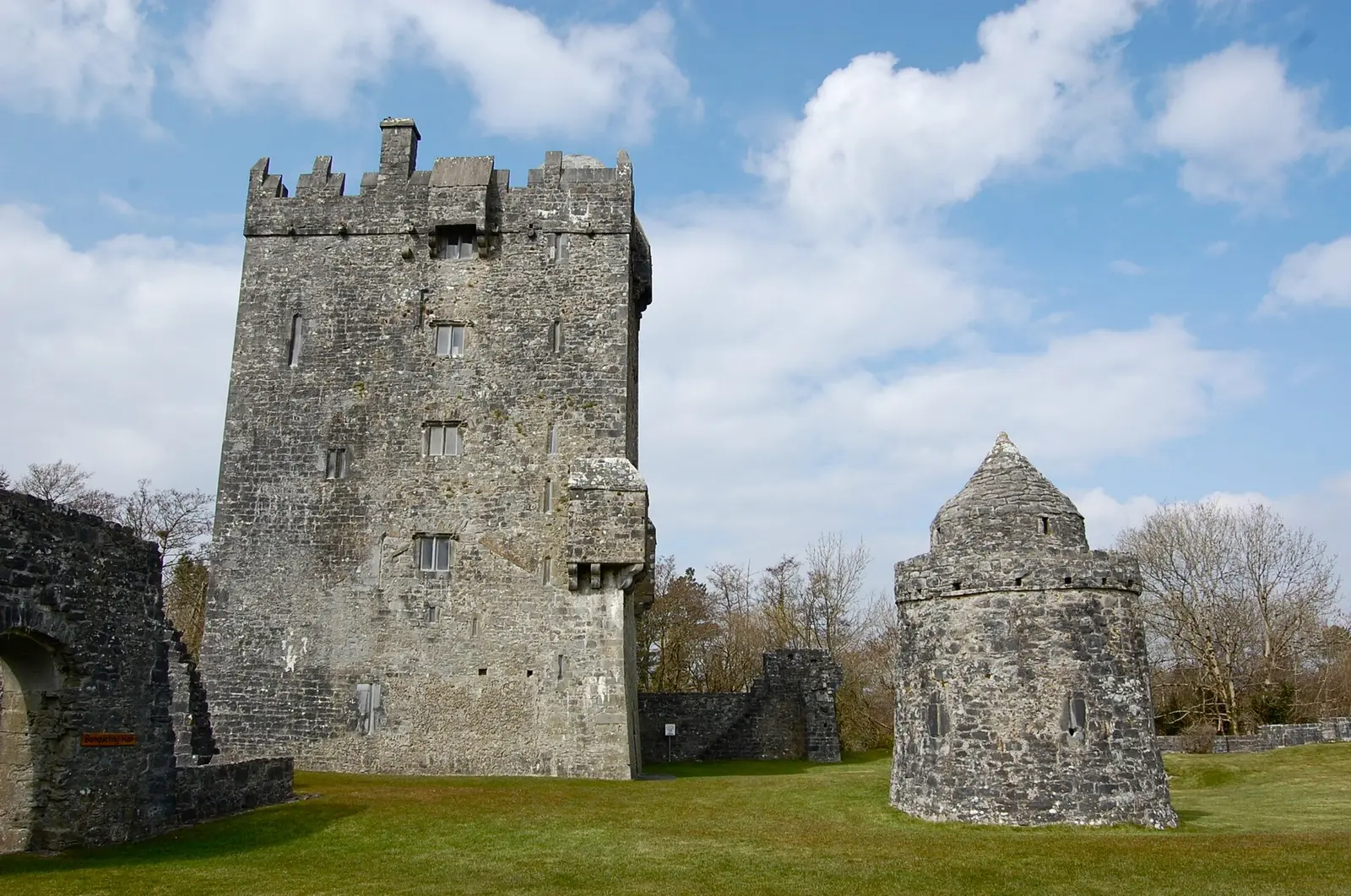
Aughnanure Castle, the Glengowla mine, the lake and Inchagoill, the Quiet Man Bridge, Brigit's Garden.
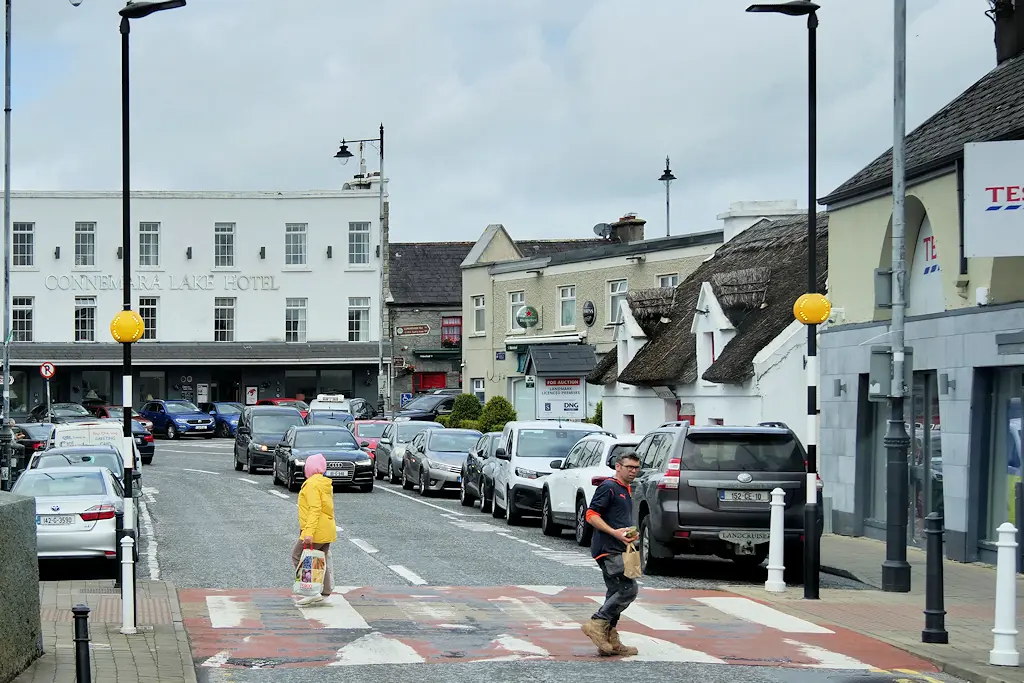
The O'Flahertys and de Burghs, the barracks, the churches, the mines, the Clifden line, Joyce and John Ford.
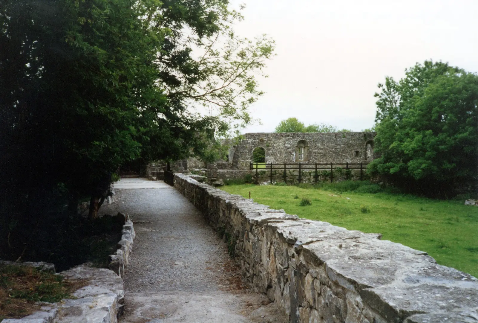
Population 1,846 at the 2022 census, where it is, what is here.
What is in Oughterard
6 restaurants, 6 pubs, 3 shops, 2 hairdressers and beauty and 5 supermarkets and more, by kind. Each kind has a page listing every one, closest to the centre first.
- Restaurants6
- Pubs6
- Shops3
- Hairdressers and beauty2
- Supermarkets5
- Pharmacies1
- Doctors1
- Schools3
- Banks4
- Petrol2
- Gyms and sport6
- Hotels8
- Churches4
- Parks and views69
- Castles and heritage12
Guides to Oughterard
All 7 guides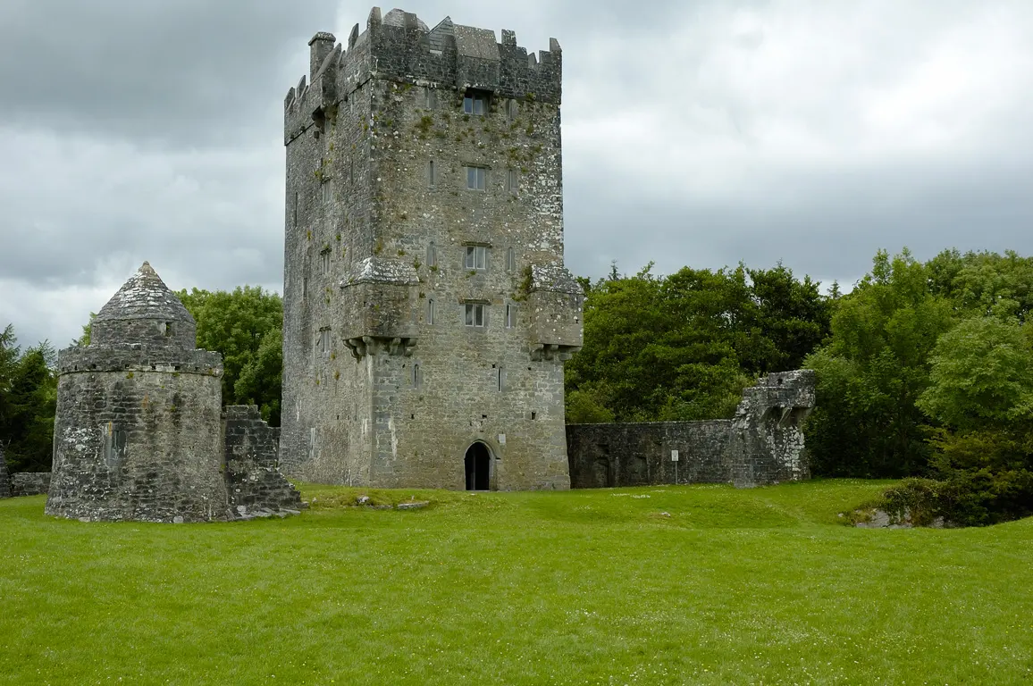
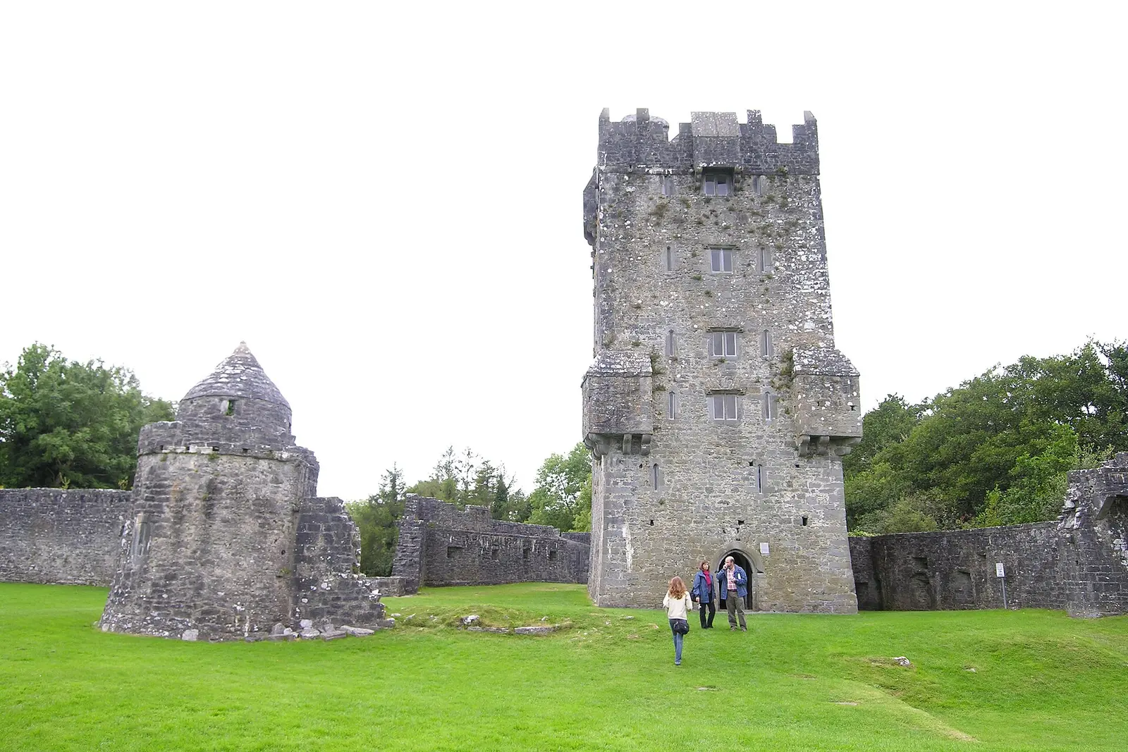
Aughnanure Castle near Oughterard is the O'Flahertys' late 15th-century tower house by Lough Corrib, restored in the 1960s: six storeys…
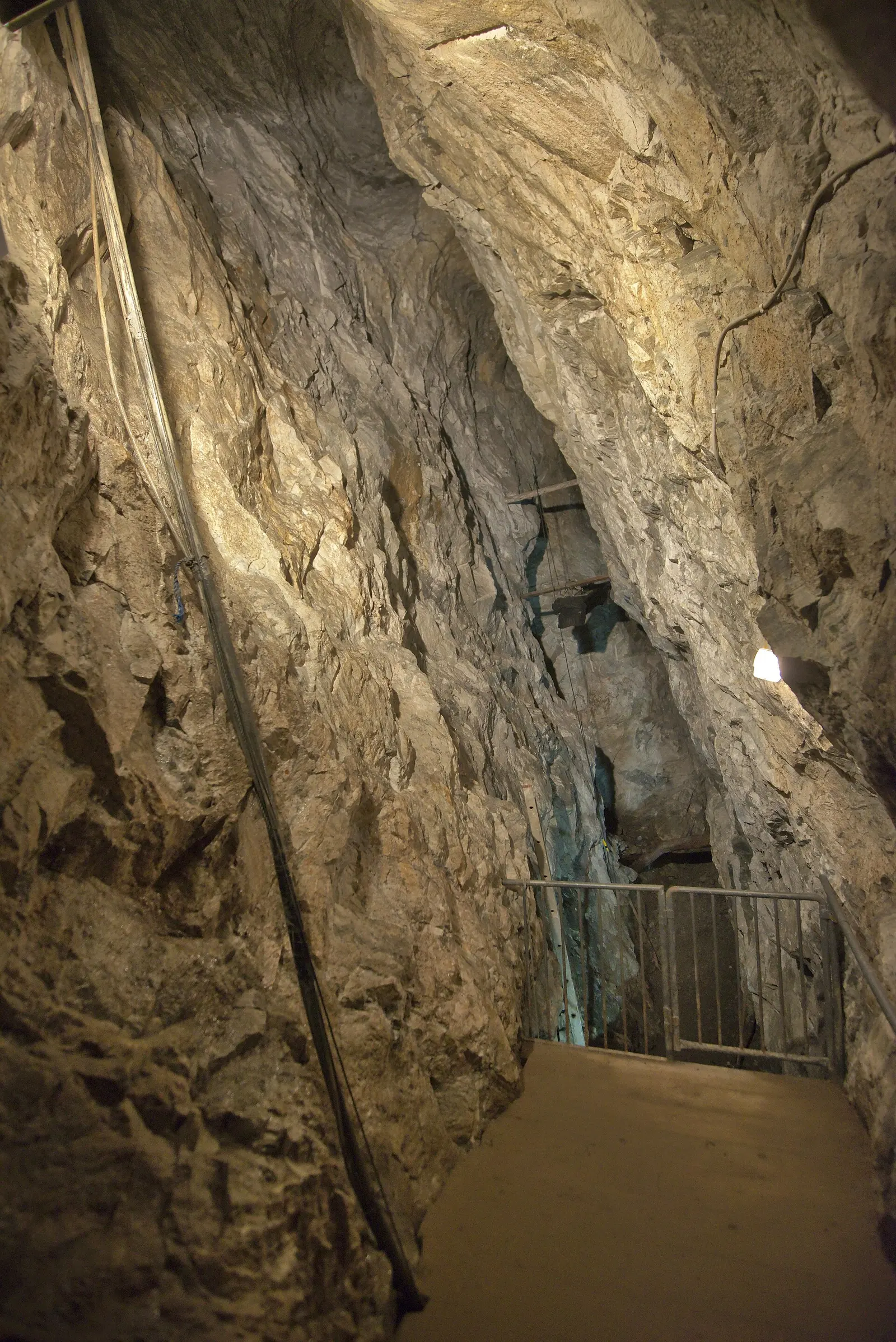
Glengowla Mines outside Oughterard is a show mine on the site of a lead and silver working that began in 1851 when a farmer found galena…
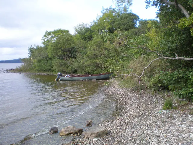
Inchagoill, the island of the devout foreigner, lies in Lough Corrib halfway between Oughterard and Cong: St Patrick's Church of the 6th…
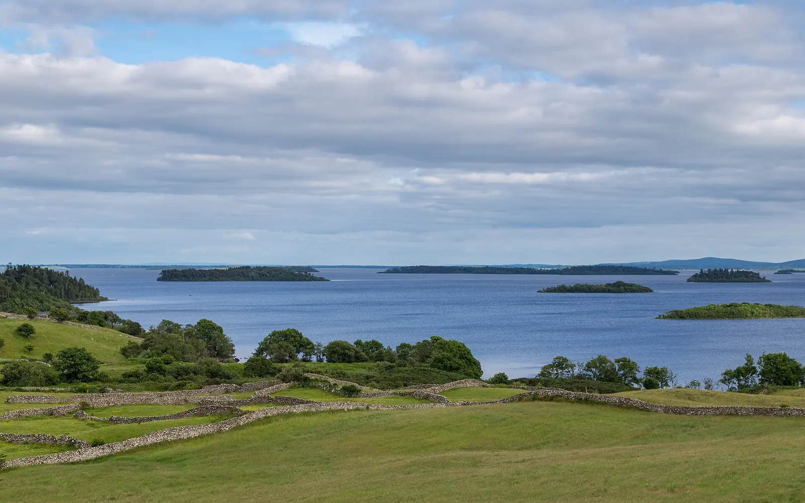
Lough Corrib, 176 square kilometres, is the largest lake in the Republic: the 12th-century Friar's Cut was the first canal in Ireland,…
Maam Cross, an Teach Dóite, the burned house, is the junction of the N59 and the R336 to the Maam Valley, with a hotel, a filling…
Football west of the Corrib: Oughterard, founded 1908, named for Seamus O'Maille executed in 1923, county champions in 1938 and…
Where to eat in Oughterard
12 cafés, restaurants, takeaways and pubs on the map, 11 of them within 300 m of the centre. 0 have hours on record.
- The Angler’s BarPubs · Main Street
- Apache PizzaTakeaways · Gregg Close
- Greenway CaféCafés · Main Street
- Highlander PizzeriaRestaurants · Main Street
- The Mayfly InnPubs · Main Street
- Halloran'sRestaurants · Main Street
- Faherty’sPubs · Camp Street
- Kelly’sPubs · Camp Street
Restaurants · Cafés · Takeaways · Pubs
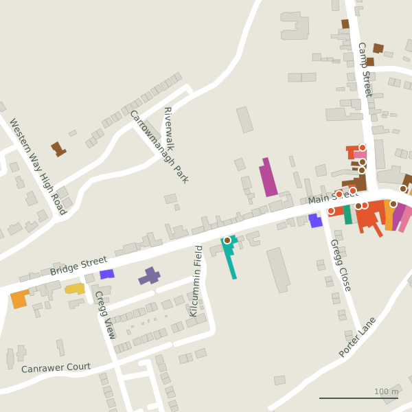
Every place to eat and drink as a pin; tap one for its page and directions.
Street by street
All 23 streets- Main Street22 placesnational road N59 · 1.1 km
- Camp Street8 placeslink road · 303 m
- Bridge Street4 placesnational road N59 · 222 m
- Abhainn Ruibhe2 placesresidential street · 114 m
- Carrowmanagh2 placesresidential street · 659 m
- Gregg Close2 placesresidential street · 168 m
- Porter Lane2 placesminor road · 327 m
- Western Way High Road2 placesminor road · 3.2 km
- Cregg View1 placeresidential street · 431 m
Things to see around Oughterard
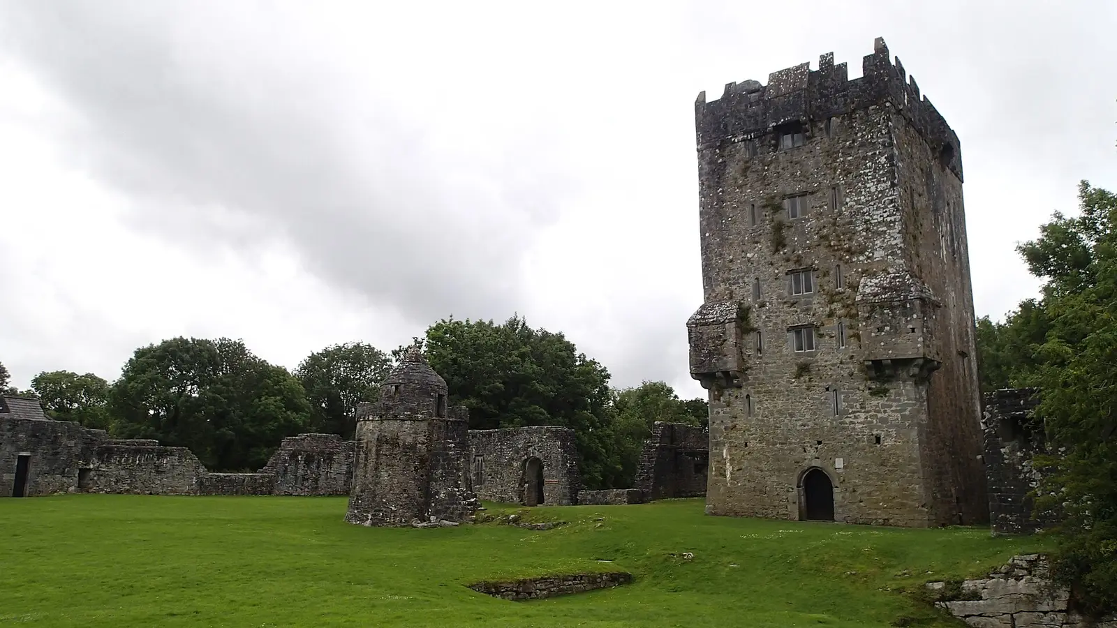
Kevin Forkan, CC BY-SA 4.0 via Wikimedia Commons

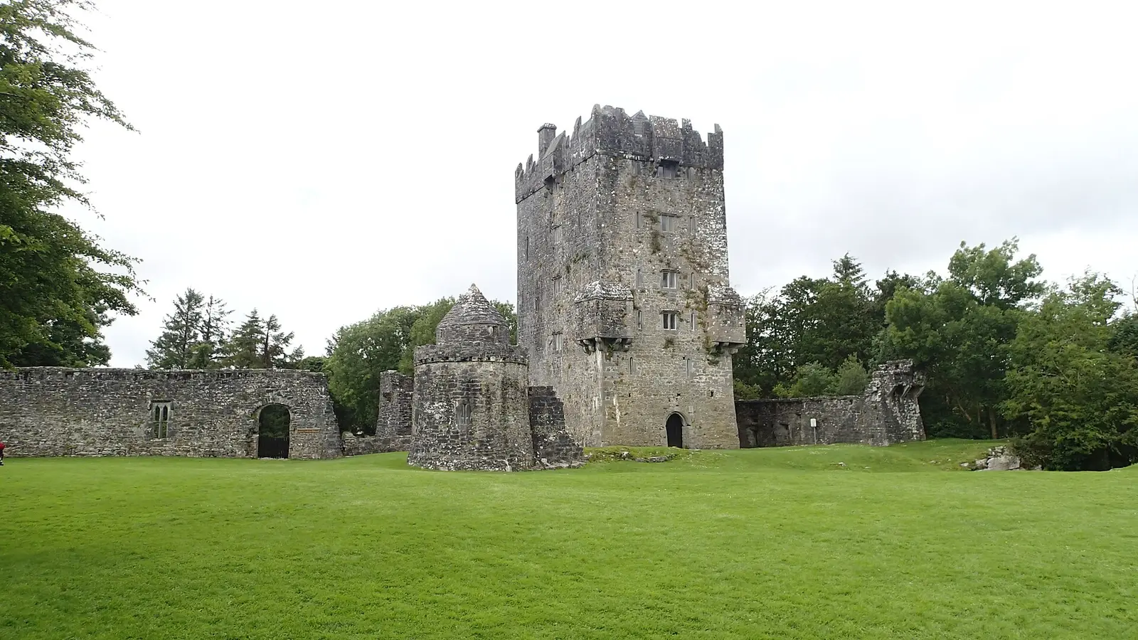
Kevin Forkan, CC BY-SA 4.0 via Wikimedia Commons

Ybsocnna, CC BY-SA 4.0 via Wikimedia Commons

Castles, abbeys, old churches, beaches, viewpoints and parks within 12 km, closest first and 1 holy well on their own pages.
- Lough MallLakes · 1.6 km
- Aughnanure CastleCastles · 3.3 km
- Lough TawnyLakes · 3.4 km
- Lough AteeaunLakes · 3.4 km
- Shannaghree LoughLakes · 3.4 km
- Glengowla Mines MuseumMuseums · 3.6 km
- Glengowla MinesAttractions · 3.8 km
- DrimneenLakes · 3.8 km
- AnnaghwoodWoods · 4.0 km
Castles · Holy wells · Hotels
Oughterard in pictures
Photographs of the place and the country around it, each from an open archive and credited to the person who took it.
Kevin Forkan, CC BY-SA 4.0 via Wikimedia Commons
Kevin Forkan, CC BY-SA 4.0 via Wikimedia Commons
Ybsocnna, CC BY-SA 4.0 via Wikimedia Commons
David Dixon, CC BY-SA 2.0 via Wikimedia Commons

Jo Turner, CC BY-SA 2.0 via Wikimedia Commons

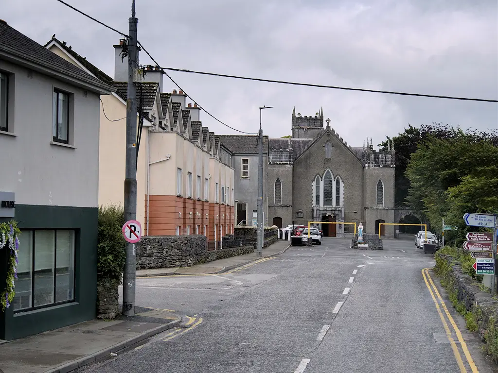
David Dixon, CC BY-SA 2.0 via Wikimedia Commons

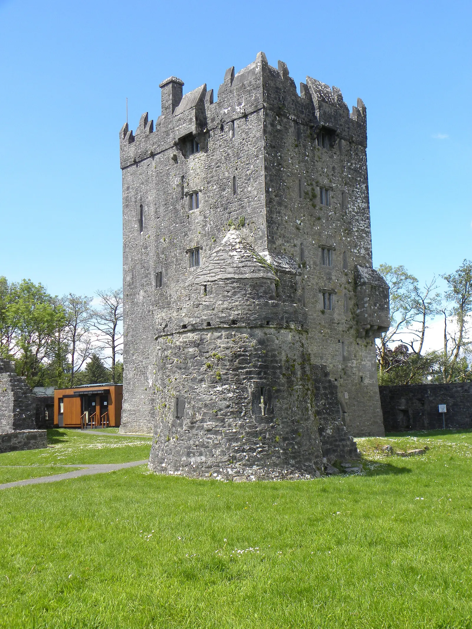
Gordon Hatton, CC BY-SA 2.0 via Wikimedia Commons

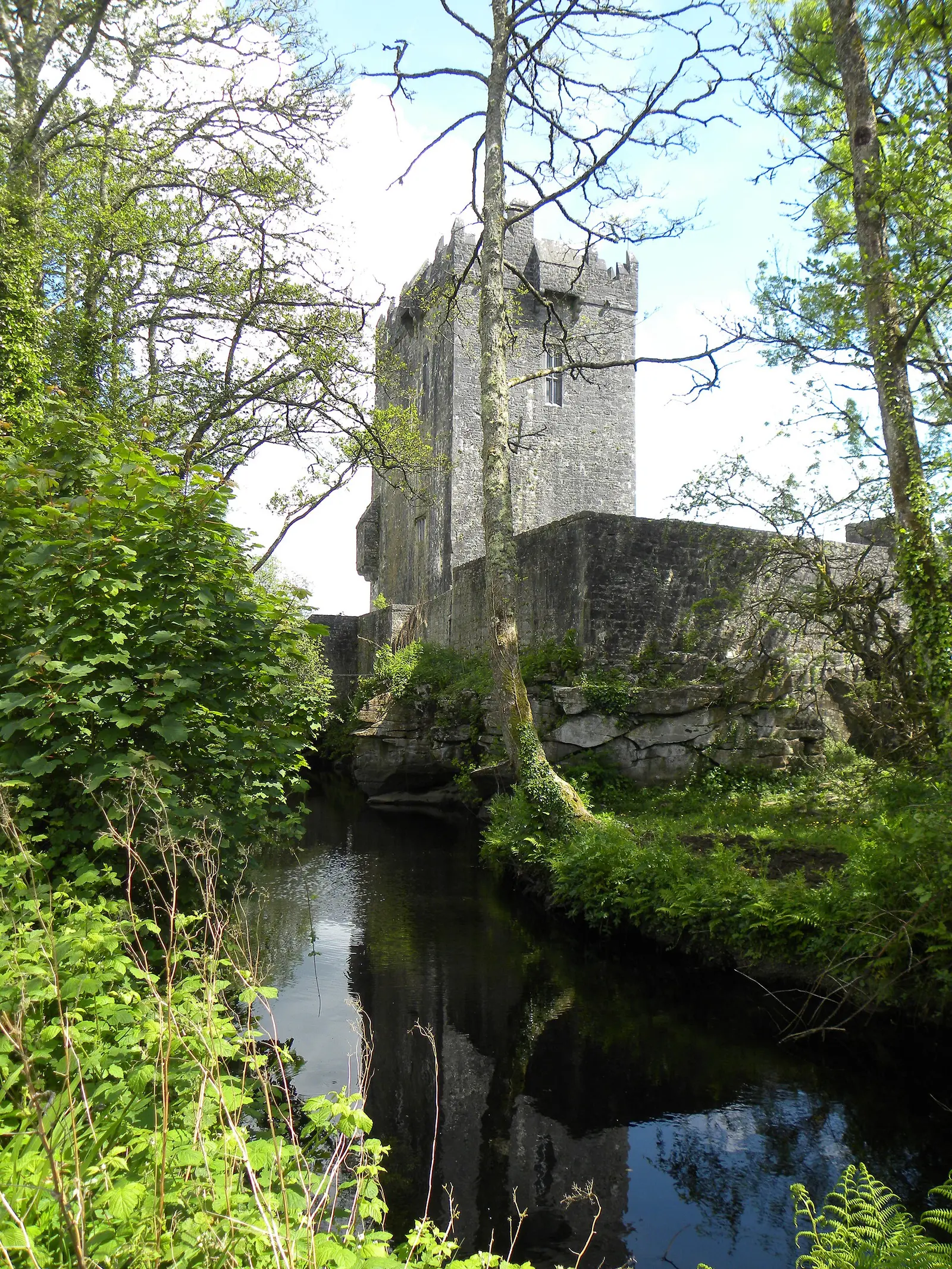
Gordon Hatton, CC BY-SA 2.0 via Wikimedia Commons

Questions people ask
Where is Oughterard?
What is the population of Oughterard?
How far is Oughterard from Galway?
What is Oughterard known for?
What is the history of Oughterard?
What is the weather like in Oughterard today?
How the model is built
The buildings are OpenStreetMap footprints, read on 2026-09-18, stood up to the height the map records or a plain two storeys where it records none. Streets, water and the base map come from the same project through OpenFreeMap. Places are the named shops, services and public buildings on the map; each has its own page.
A building takes the colour of the kind of place inside it: restaurants in red, pharmacies in green, schools in yellow. Nothing is invented to fill a gap: a missing fact is shown as missing, with a link to add it to the map. More about the model.