The N59 through Connemara
Every road sign in Connemara that says Clifden or Galway is pointing at the N59. The road comes down from Sligo through Mayo, enters the county at Leenaun on Killary Harbour, runs south-west through the mountains to Clifden, and turns back east past Recess, Maam Cross and Oughterard to the city. It is a national secondary road, two lanes and no more, and it is the spine of the region.
Checked against the source on 2026-09-19.
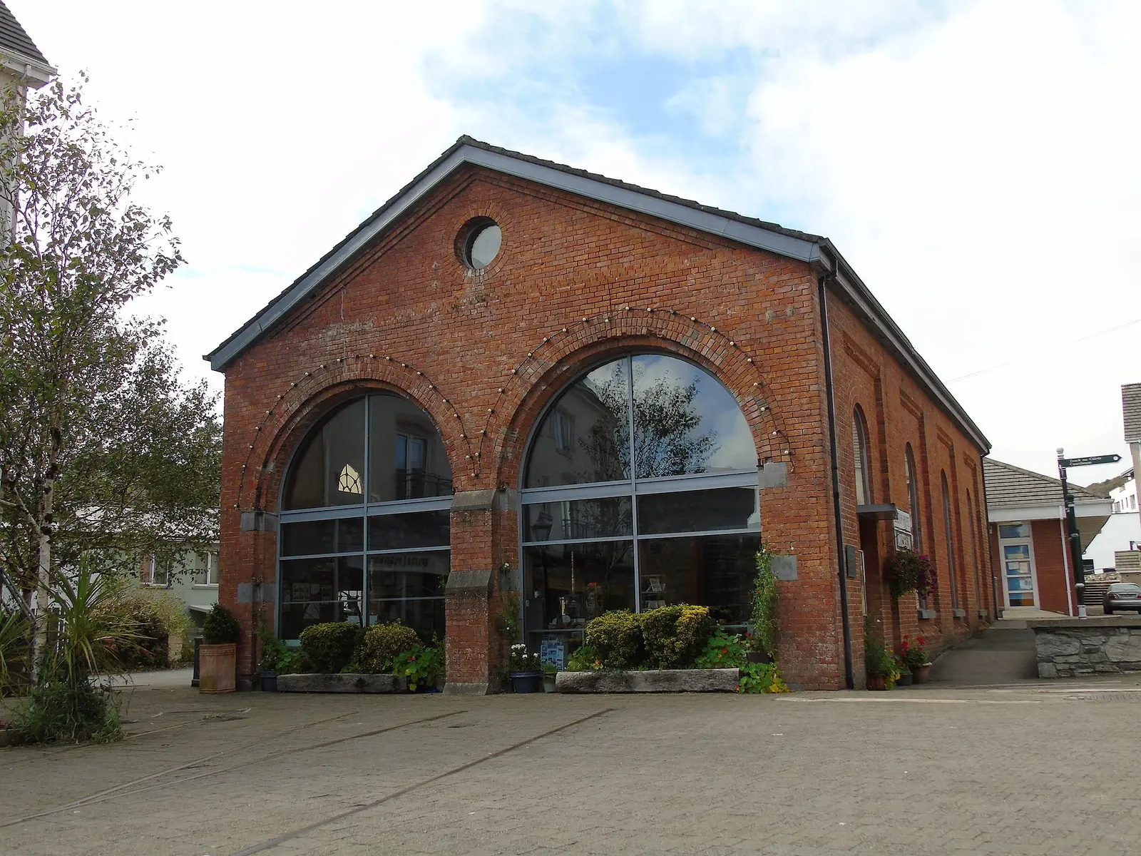
Newbert12, CC BY-SA 4.0 via Wikimedia Commons

Station House Museum, Clifden Castle on the 3D model; tap a pin for its page and directions.
Leenaun to Clifden to Galway
On 18 July 2007 the bridge in the centre of Leenaun, 182 years old, was swept away in floods and cut the village in two; a stronger replacement went up in 2009. From Leenaun the road climbs south-west through Kylemore and Letterfrack to Clifden, then heads east along Ballynahinch Lake to Recess, Maam Cross, where it crosses the R336, and Oughterard, and on into Galway. The R336 coast road, 83 km from Leenaun via the Maam Valley, Screeb, Costelloe, Inverin, Spiddal and Barna, is the other way round; the 2014 county plan called the 42 km between Barna and Screeb a major obstacle to south Connemara and proposed realigning most of it.
Buses and the old railway
Bus Éireann and Citylink run Galway to Clifden along the N59 daily, calling at Oughterard, Maam Cross and Recess, following almost exactly the line the railway took from 1895 to 1935. The Clifden railway station guide tells that story, and the Connemara guide the region's. The model on this page pins Clifden's square and the station site.
Questions people ask
Which road goes from Galway to Clifden?
What happened to the bridge at Leenaun?
Written from Wikipedia, "N59 road (Ireland)" (CC BY-SA 4.0), read on 2026-09-19, and from the OpenStreetMap places on the model. Nothing has been added from memory; follow the source for its footnotes.