The Wild Atlantic Way in Galway
Clifden is the biggest town on the Galway stretch of the Wild Atlantic Way, the 2,500-kilometre signed route that follows the coast through nine counties from Malin Head to Kinsale. Launched in 2014 by the tourism minister Michael Ring, it strings together 157 discovery points and more than a thousand attractions, and the Connemara section between Killary Harbour and Galway Bay is one of its wildest.
Checked against the source on 2026-09-19.
Sheila1988, CC BY-SA 4.0 via Wikimedia Commons

Clifden Castle, Marconi Wireless Station Site, Kylemore Abbey on the 3D model; tap a pin for its page and directions.
The Galway section
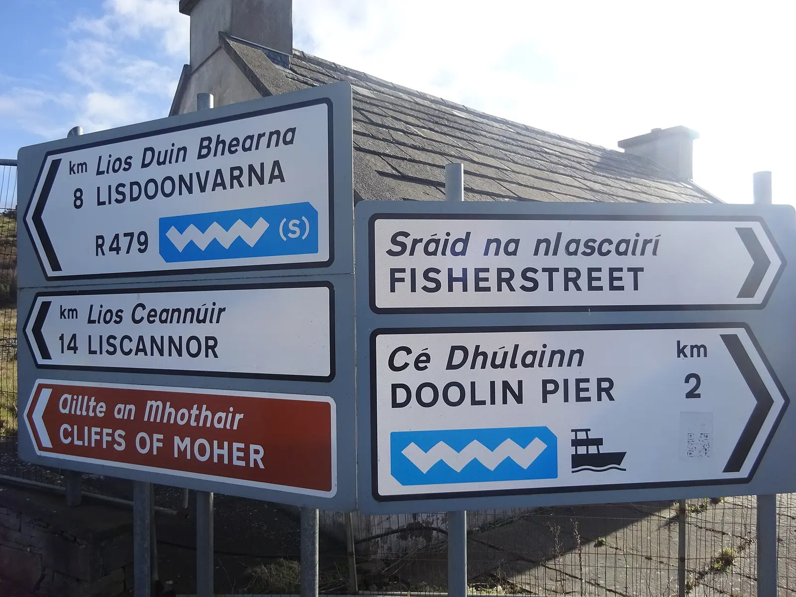
The route is split into five sections, and Galway falls in the one from Mayo to Clare. Coming south from Croagh Patrick and Doolough it enters the county at Killary Harbour, the fjord, then works through Connemara to Clifden. Two islands hang off it: Inishbofin, by ferry from Cleggan, and the Aran Islands, by ferry from Rossaveal or from Doolin in Clare. Beyond Galway Bay come the Burren and the Cliffs of Moher, the busiest stop on the whole way.
Why it was built
The route has drawn millions of visitors and pushed money into rural coastal economies where tourism is the main industry, and it is credited with promoting sustainable travel and keeping the natural and cultural heritage of the west coast in view. On this site every settlement along the Galway stretch has its own pages, from Leenaun at the head of Killary to Kilronan on Inishmore; the model here shows Clifden with the castle and the Marconi station pinned.
Questions people ask
How long is the Wild Atlantic Way?
Which Galway places are on the Wild Atlantic Way?
When did the Wild Atlantic Way open?
Written from Wikipedia, "Wild Atlantic Way" (CC BY-SA 4.0), read on 2026-09-19, and from the OpenStreetMap places on the model. Nothing has been added from memory; follow the source for its footnotes.