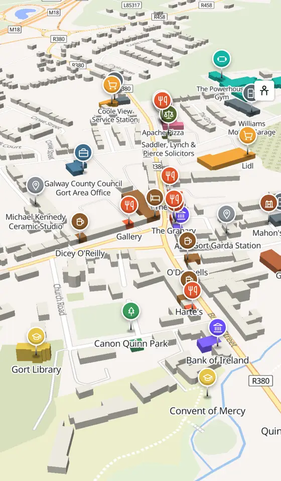
Gort, street by street
King Guaire's island in the river, an O'Shaughnessy stronghold, Lord Gort's Georgian triangle, and the countryside where Yeats and Lady Gregory made a literary revival.
Gort is a town of 2,870 people, 28 km south-east of Galway city. This page is a working model of it: every one of its 1,550 buildings stands on the map above, and 186 shops, cafés, schools, churches and services have a page each, with the street, the hours where recorded, the nearest bus stop and car park, and a plan of the streets around it. Everything comes from open map data and says so.
Live forecast for the centre, hour by hour and the week ahead.
28 km from Galway, 41 km from Shannon Airport, 3 bus stops, 0 car parks.
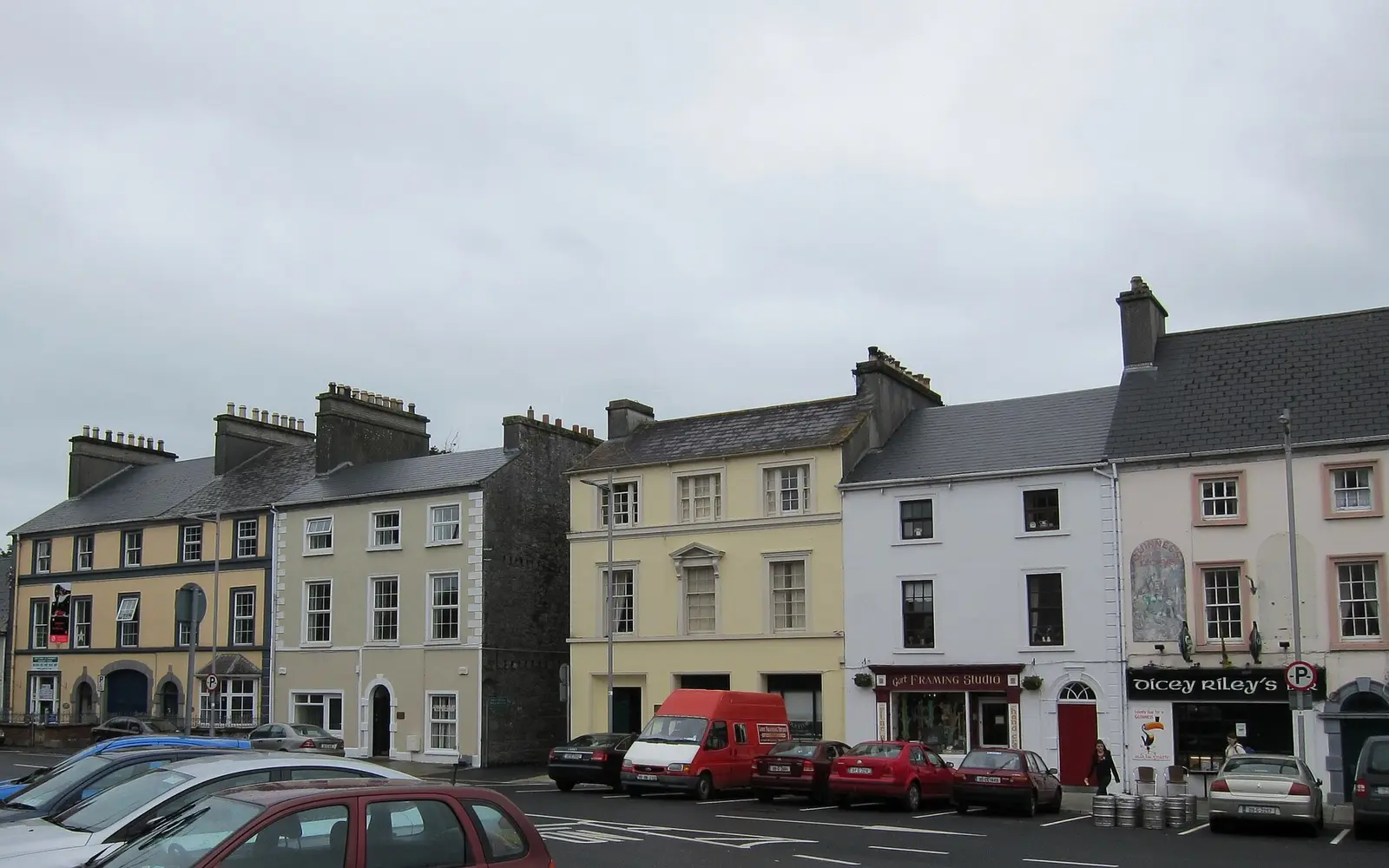
Coole Park, Thoor Ballylee, Kilmacduagh, the Gregory museum, the Square and the river walk.
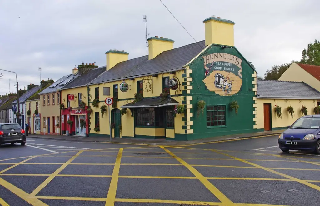
Guaire's island, the O'Shaughnessys, Cromwell, Lord Gort's town, the Famine, Coole and Ballylee, 1920.
Population 2,870 at the 2022 census, where it is, what is here.
What is in Gort
7 restaurants, 4 pubs, 1 shops, 3 hairdressers and beauty and 8 supermarkets and more, by kind. Each kind has a page listing every one, closest to the Square first.
- Restaurants7
- Pubs4
- Shops1
- Hairdressers and beauty3
- Supermarkets8
- Pharmacies1
- Doctors1
- Schools6
- Banks3
- Solicitors1
- Offices and agents1
- Petrol3
- Gyms and sport3
- Hotels2
- Churches7
- Parks and views88
- Castles and heritage41
Guides to Gort
All 11 guides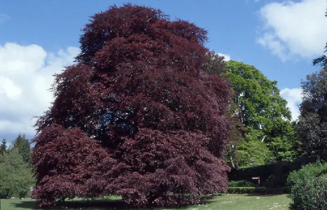
Coole Park is a 1,000-acre nature reserve west of Gort: Lady Gregory's estate, where Yeats wrote The Wild Swans at Coole and the great…
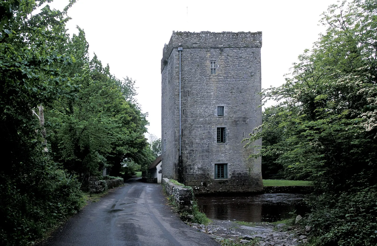
Thoor Ballylee is the 15th-century de Burgo tower house near Gort that W. B. Yeats bought in 1916 or 1917 and lived in: four rooms one…
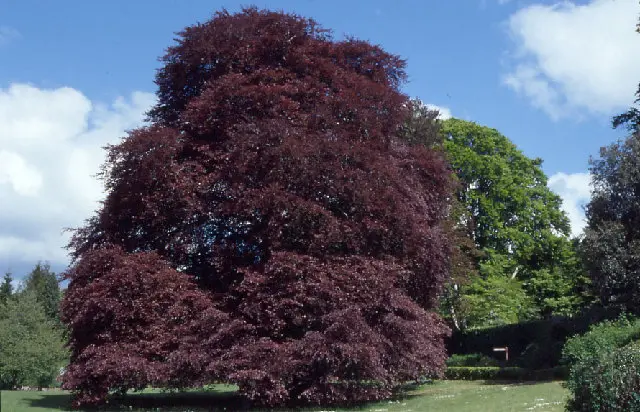
Gort station opened in 1869, closed in 1976 and reopened in March 2010 as part of the Western Rail Corridor between Ennis and Athenry,…
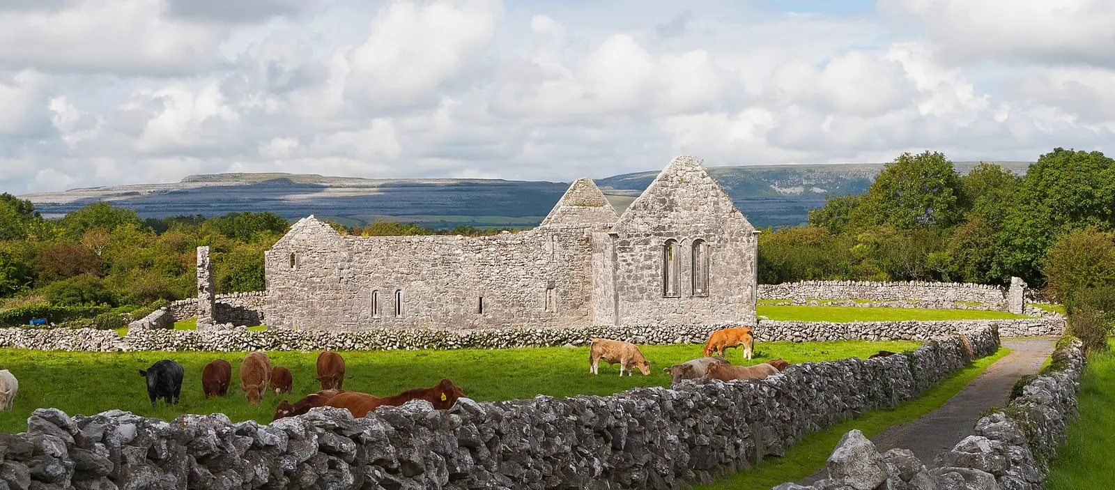
Kilmacduagh, 5 km from Gort, is the ruined monastery St Colman founded in the 7th century on land from King Guaire: a cathedral, five…
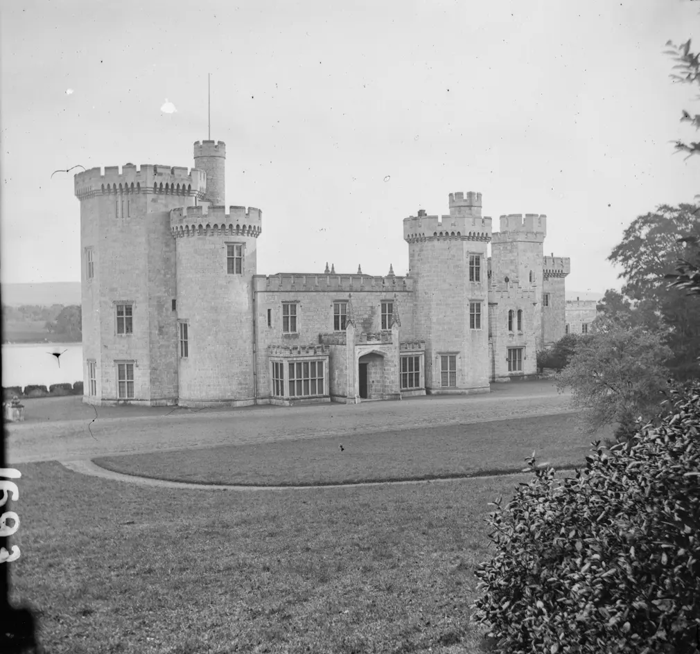
Lough Cutra Castle, 3 km south of Gort, was designed by John Nash for Colonel Charles Vereker, 2nd Viscount Gort, built from 1811 to…
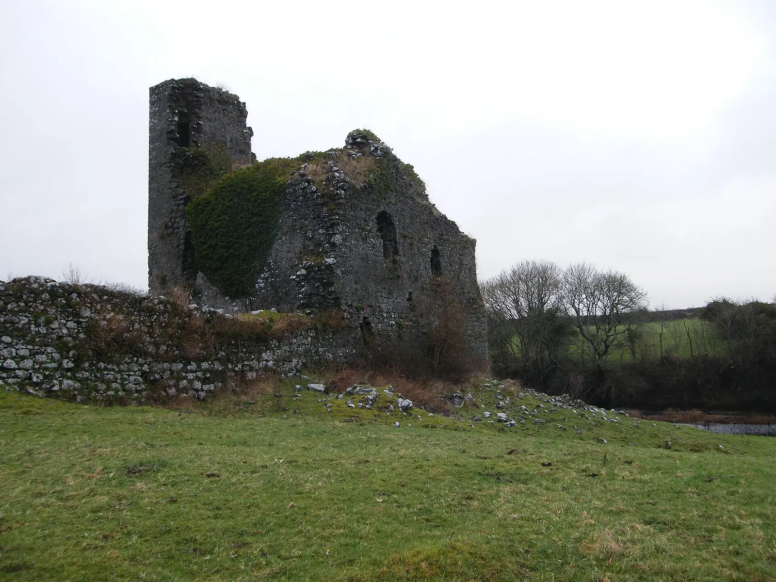
Kiltartan, Cill Tartan, is the barony and civil parish around Gort named for the Burkes' ruined Kiltartan Castle: its south was…
Where to eat in Gort
11 cafés, restaurants, takeaways and pubs on the map, 8 of them within 300 m of the Square. 2 have hours on record.
- GalleryCafés · Lowry's Lane
- BrazzaTakeaways · Crowe Street
- O'DonnellsPubs · Bridge Street
- The GranaryRestaurants · Crowe Street
- Dicey O'ReillyPubs · Church Street
- The FieldRestaurants · Crowe Street
- Harte'sPubs · Bridge Street
- Supermac'sTakeaways · Bridge Street
Restaurants · Cafés · Takeaways · Pubs
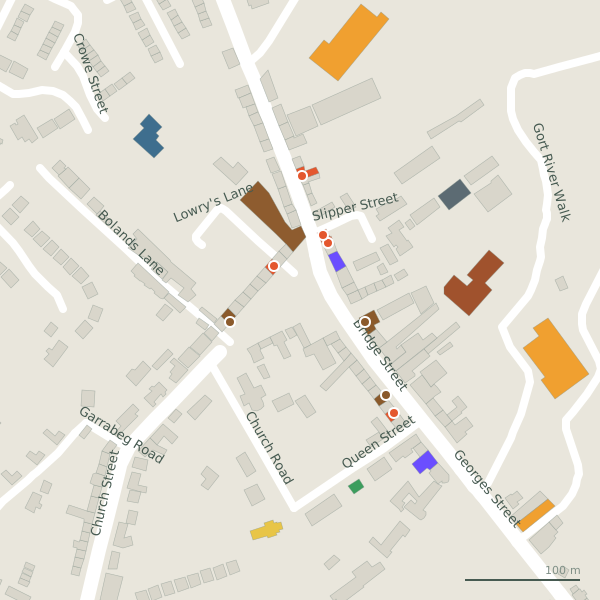
Every place to eat and drink as a pin; tap one for its page and directions.
Street by street
All 40 streets- Crowe Street10 placesregional road R380 · 1.1 km
- Georges Street6 placesregional road R458 · 1.1 km
- Bridge Street5 placesregional road R380 · 245 m
- Church Street2 placesregional road R460 · 384 m
- Kinincha Road2 placesminor road L85314 · 1.4 km
- Bolands Lane1 placeminor road · 223 m
- Church Road1 placeresidential street · 146 m
- Cobble Drive1 placeresidential street · 74 m
- Ennis Road1 placeregional road R458 · 252 m
- Gort River Walk1 placefootpath · 592 m
Things to see around Gort
Gordon Hatton, CC BY-SA 2.0 via Wikimedia Commons

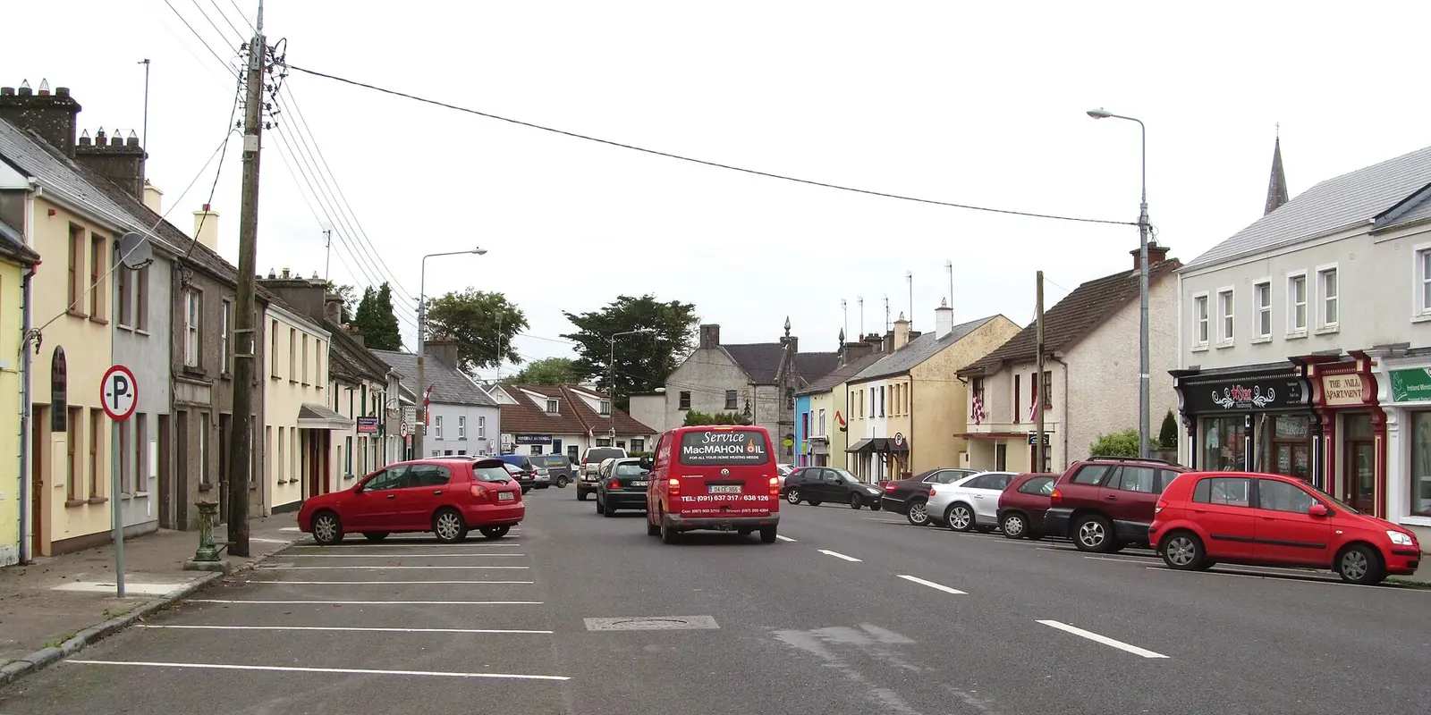
Gordon Hatton, CC BY-SA 2.0 via Wikimedia Commons

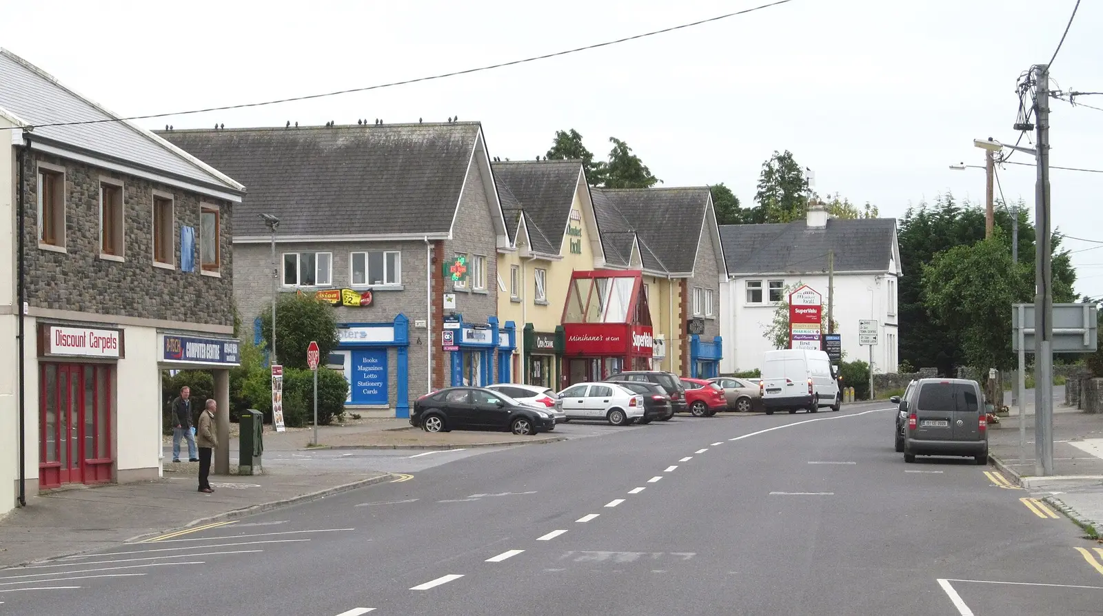
Desmond Ryan, CC BY-SA 2.0 via Wikimedia Commons

Castles, abbeys, old churches, beaches, viewpoints and parks within 12 km, closest first, plus 6 ringforts and ancient sites and 6 holy wells on their own pages.
- StablesRuins · 145 m
- Canon Quinn ParkParks · 148 m
- Ballynamantan LoughLakes · 1.9 km
- Beagh ChurchRuins · 2.3 km
- Old Beagh ChurchRuins · 2.3 km
- Kiltartan CastleCastles · 2.7 km
- Coole ParkWoods · 3.0 km
- Coole ParkAttractions · 3.1 km
- Coole LoughLakes · 3.1 km
Castles · Ringforts · Holy wells · Hotels
Gort in pictures
Photographs of the place and the country around it, each from an open archive and credited to the person who took it.
Gordon Hatton, CC BY-SA 2.0 via Wikimedia Commons
Gordon Hatton, CC BY-SA 2.0 via Wikimedia Commons
Desmond Ryan, CC BY-SA 2.0 via Wikimedia Commons
P L Chadwick, CC BY-SA 2.0 via Wikimedia Commons

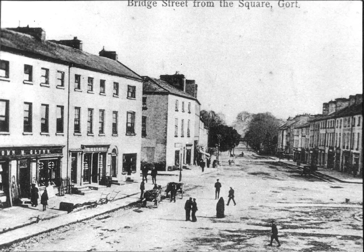
Unknown authorUnknown author, public domain via Wikimedia Commons

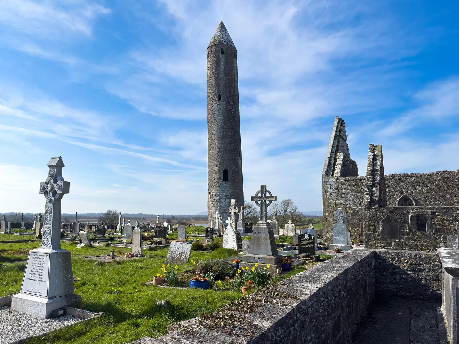
Michael Deligan, CC BY-SA 4.0 via Wikimedia Commons

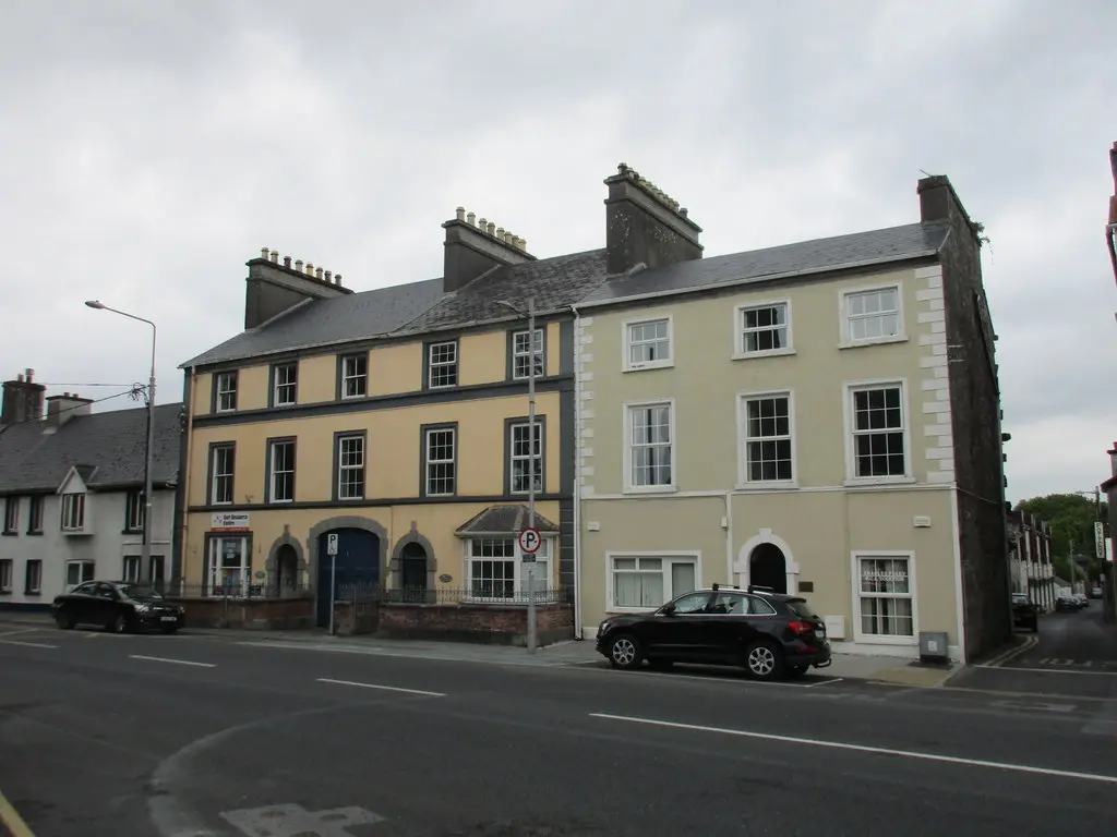
Jonathan Thacker, CC BY-SA 2.0 via Wikimedia Commons

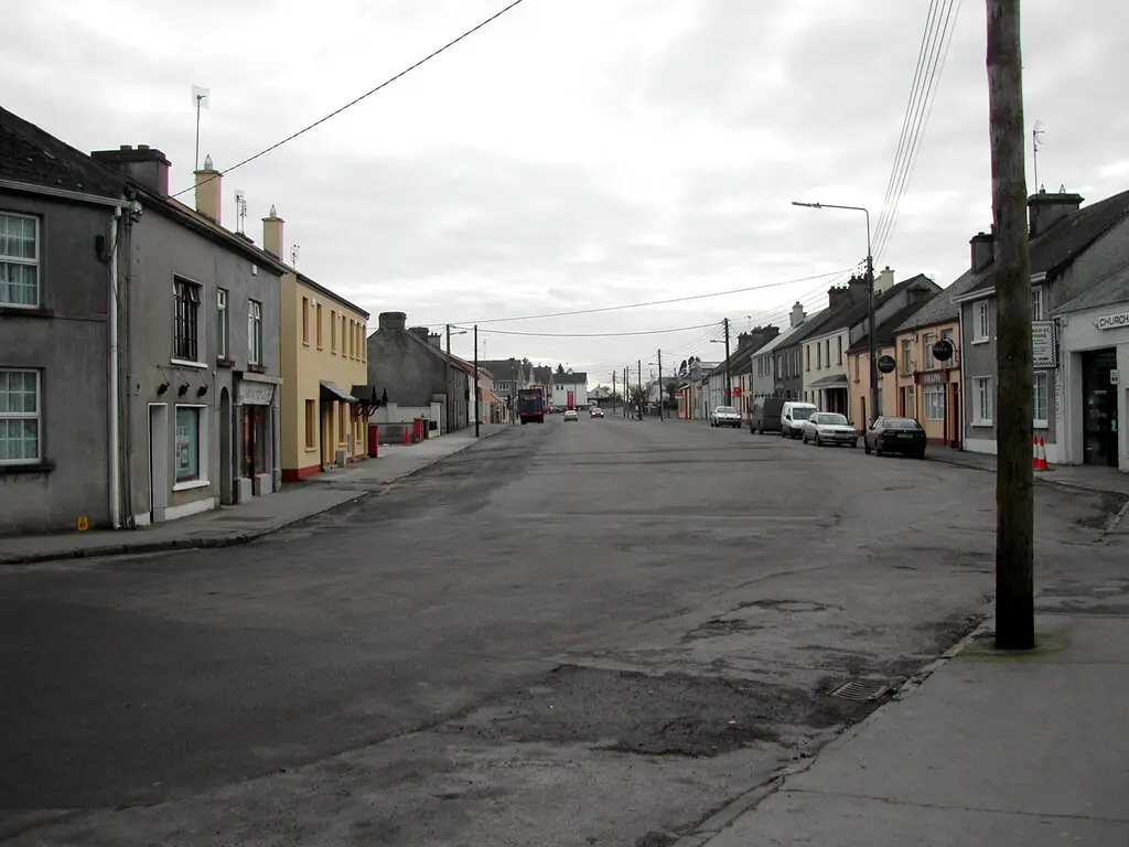
Rod Grealish, CC BY-SA 2.0 via Wikimedia Commons

Questions people ask
Where is Gort?
What is the population of Gort?
How far is Gort from Galway?
What is Gort known for?
What is the history of Gort?
What is the weather like in Gort today?
How the model is built
The buildings are OpenStreetMap footprints, read on 2026-09-18, stood up to the height the map records or a plain two storeys where it records none. Streets, water and the base map come from the same project through OpenFreeMap. Places are the named shops, services and public buildings on the map; each has its own page.
A building takes the colour of the kind of place inside it: restaurants in red, pharmacies in green, schools in yellow. Nothing is invented to fill a gap: a missing fact is shown as missing, with a link to add it to the map. More about the model.