Lough Inagh
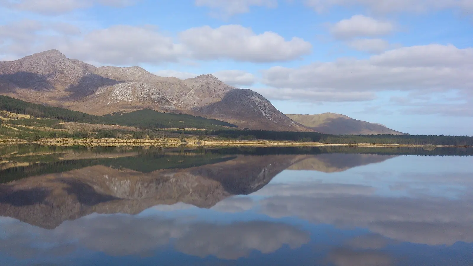
The road through the Inagh Valley, the R344, runs along a lake pressed between two mountain ranges. On the west are Derryclare at 677 metres and Bencorr at 711, on the east the long spine of the Maumturks with Letterbreckaun and Binn idir an Dá Log. This is Lough Inagh, the lake of the place of ivy, one of the most photographed views in Connemara and one of its best fishing waters.
Checked against the source on 2026-09-19.
Maria Hynes, CC BY-SA 4.0 via Wikimedia Commons

Bencorrbeg, Benbaun on the 3D model; tap a pin for its page and directions.
Between two ranges
Lough Inagh is about 23 kilometres east of Clifden. Mountain streams feed it, above all the Gleninagh River, which rises high in the Gleninagh Valley on the slopes of the Bens. From the west shore the view runs straight into the deep southern corrie between Derryclare and Bencorr, Log an Choire Mhóir, the hollow of the big corrie, and the smaller one between Bencorr and its north top, with Derryclare Wood and the Derryclare Nature Reserve at their feet where they meet the water. From the northern end, beside Bencorrbeg at 577 metres, the Gleninagh Valley opens out.
Fishing
The lake is known for spring salmon, grilse and sea trout in season, fished mostly from boats; it is too big for rowing and an outboard is recommended, with a few submerged rocks to watch for. The lough and its fishing rights are privately owned and run by the fishing lodges in the valley. The angling writer Peter O'Reilly wrote that it would take more than a day to explore properly, for it can be one of the best.
Questions people ask
Where is Lough Inagh?
Can you fish Lough Inagh?
What does Inagh mean?
Written from Wikipedia, "Lough Inagh" (CC BY-SA 4.0), read on 2026-09-19, and from the OpenStreetMap places on the model. Nothing has been added from memory; follow the source for its footnotes.