The Twelve Bens
From the visitor centre at Letterfrack the sharp grey summits of the Twelve Bens fill the view to the south and east. Sailors named them first: Ruaidhrí Ó Flaithbheartaigh wrote in 1684 that mariners called them the twelve stakes, the first land they saw coming in from the Atlantic. Nobody is quite sure which twelve peaks are meant, since almost twenty carry the name Ben or Binn, but the range as a whole is the finest hill country in the county.
Checked against the source on 2026-09-19.
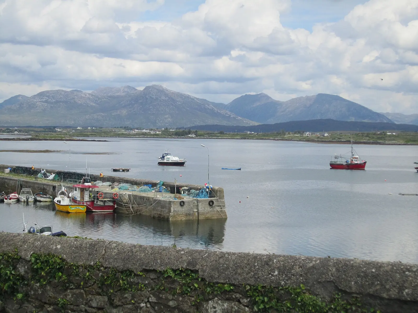
Lisa Harbin, CC BY-SA 2.0 via Wikimedia Commons

Benbaun, Bencorrbeg, Benbrack, Benglenisky, Connemara National Park Visitor Centre on the 3D model; tap a pin for its page and directions.
Which twelve?
Ben is the English form of binn, a peak. The academic Paul Tempan has noted that nobody seems to know exactly which twelve peaks the name means, and the widest definition of the range takes in a core massif of 22 summits above 100 metres around Benbaun, a separate northern group of nine around Garraun at 598 metres, and seven outliers to the west, 38 Bens in all. The core massif splits naturally into three sections, arranged around deep glaciated U-shaped valleys so that groups of Bens stand in horseshoes.
Quartzite from an old sea
The Bens are mostly resistant quartzite, with schists in the valleys, the Connemara Dalradian rocks. They began as sediments laid down in a warm shelf sea some 700 to 550 million years ago; movements of the crust and the closing of the Iapetus Ocean turned them into crystalline schists, and erosion and uplift brought them to the surface. The Maumturks across the Inagh valley share the same geology. The whole range, Garraun included, is a Special Area of Conservation of 16,163 hectares, listed for alpine heaths, active blanket bog, remnants of oak woodland and scree, and for the freshwater pearl mussel, Atlantic salmon, otter and slender naiad.
Walking and climbing
The Glencoaghan Horseshoe, 16 kilometres and eight to nine hours, is counted one of the best ridge walks in Ireland and a true classic by guidebook writers; the Owenglin, Gleninagh and Glencorbet horseshoes are of similar length. The Twelve Bens Challenge, 28 kilometres over all twelve, is a more serious day. The Irish Times outdoors writer John G. Dwyer called them true kickass mountains with criminally stunning views. Climbers go to the Gleann Eighneach valley on the eastern spur of Bencorr, where Carrot Ridge, 275 metres at Diff, and Seventh Heaven, 330 metres at Hard Severe, are the named routes, and to the big easterly corrie between Derryclare and Bencorr. The model on this page pins the Bens that fall within Letterfrack's data.
Questions people ask
What is the highest of the Twelve Bens?
How long is the Glencoaghan Horseshoe?
Why are they called the Twelve Bens?
Written from Wikipedia, "Twelve Bens" (CC BY-SA 4.0), read on 2026-09-19, and from the OpenStreetMap places on the model. Nothing has been added from memory; follow the source for its footnotes.