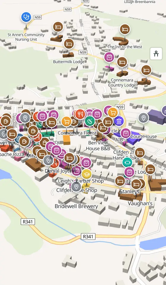
Clifden, street by street
A town one landlord drew on a bog in 1812, a quay by Nimmo, Marconi's wireless to America, and the field where Alcock and Brown came down: the capital of Connemara.
Clifden is a town of 1,259 people, 69 km west of Galway city. This page is a working model of it: every one of its 1,633 buildings stands on the map above, and 356 shops, cafés, schools, churches and services have a page each, with the street, the hours where recorded, the nearest bus stop and car park, and a plan of the streets around it. Everything comes from open map data and says so.
Live forecast for the centre, hour by hour and the week ahead.
69 km from Galway, 46 km from Aerphort Chonamara, 2 bus stops, 2 car parks.
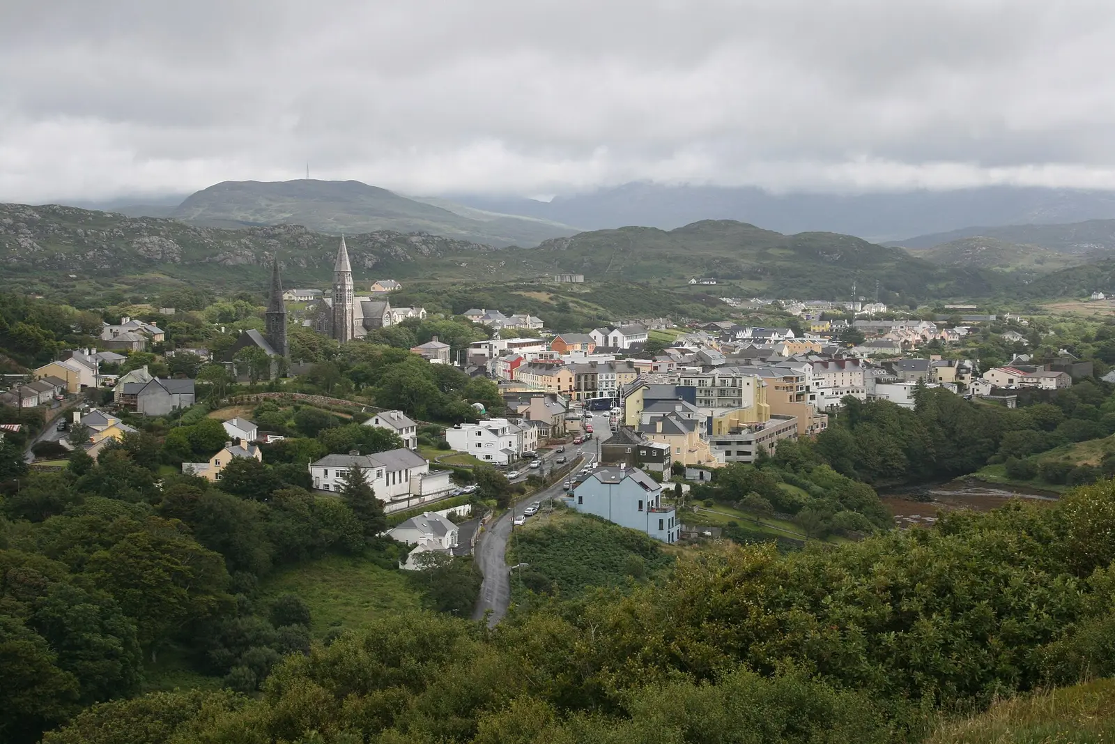
The Station House, the Sky Road, Clifden Castle, Derrygimlagh bog, the Marconi site and the pony show.
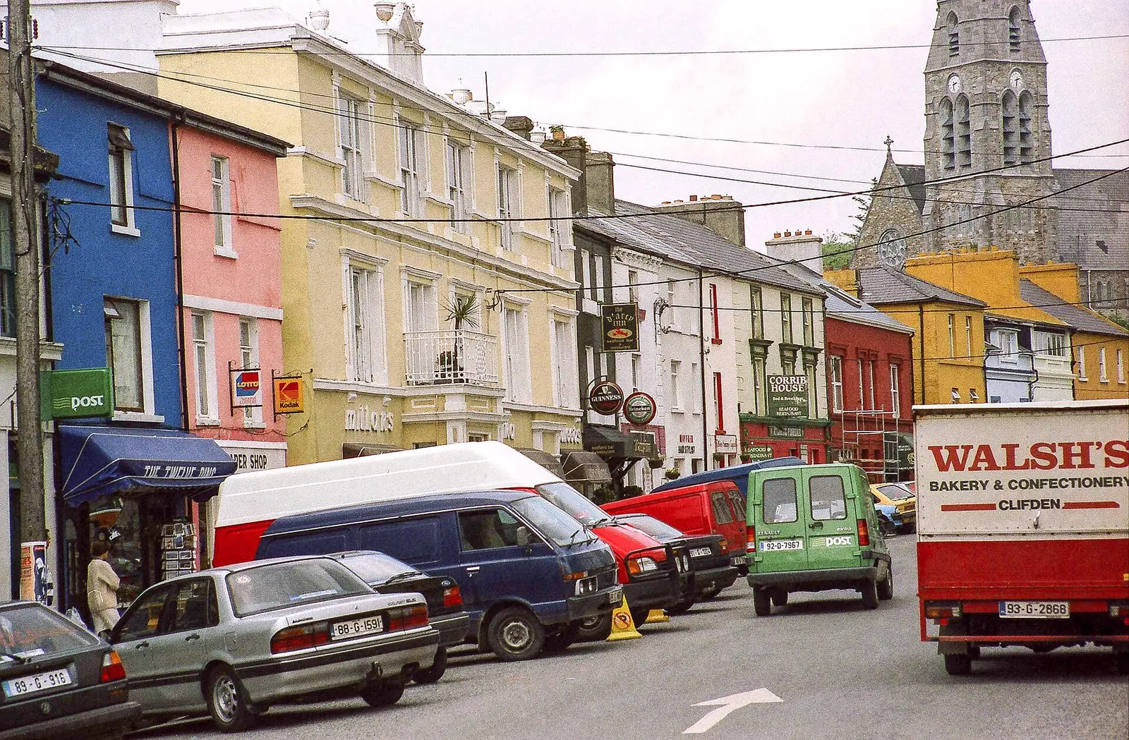
D'Arcy's new town, Nimmo's quay, the Famine, the railway, Marconi, Alcock and Brown, the burning of 1921 and the Civil War.
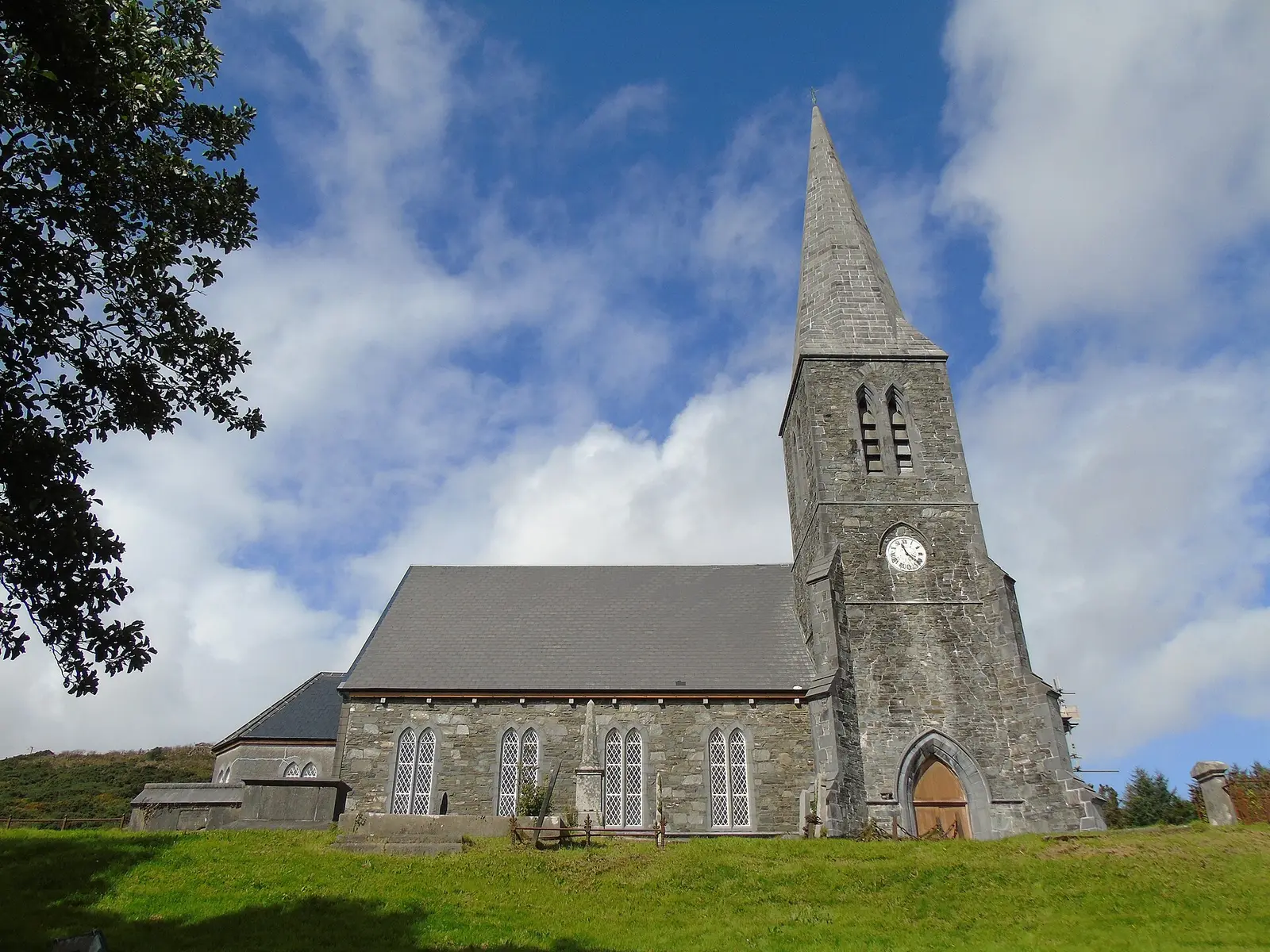
Population 1,259 at the 2022 census, where it is, what is here.
What is in Clifden
13 restaurants, 13 pubs, 25 shops, 3 hairdressers and beauty and 6 supermarkets and more, by kind. Each kind has a page listing every one, closest to Market Square first.
- Restaurants13
- Pubs13
- Shops25
- Hairdressers and beauty3
- Supermarkets6
- Pharmacies2
- Doctors2
- Schools3
- Banks4
- Offices and agents1
- Petrol2
- Gyms and sport8
- Hotels45
- Churches4
- Parks and views164
- Castles and heritage24
Guides to Clifden
All 8 guides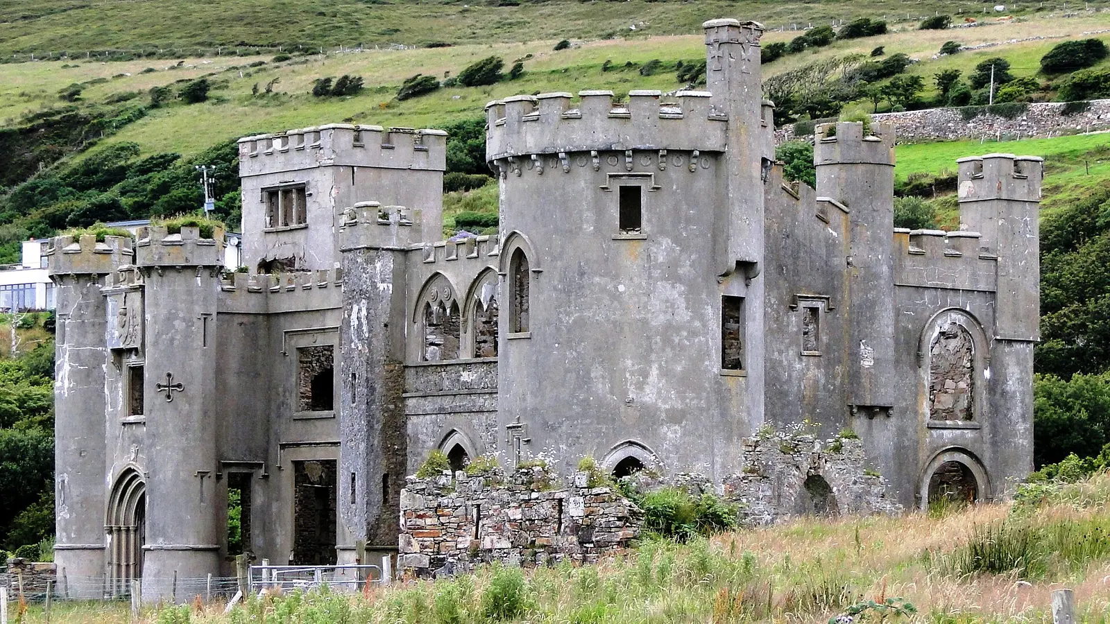
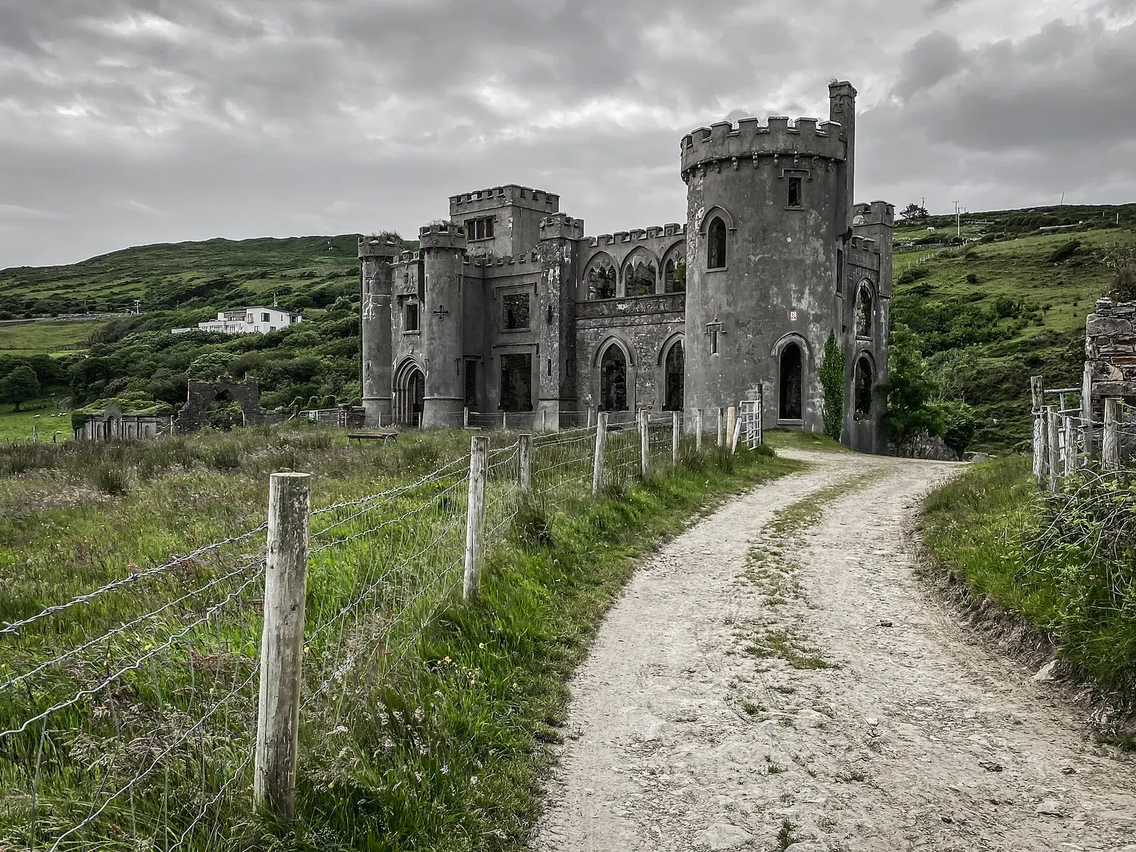
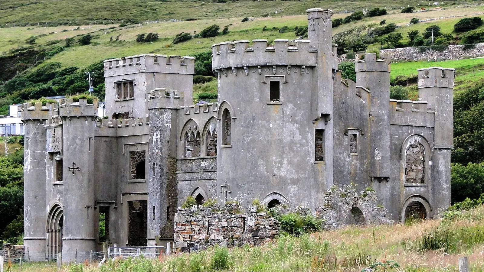
Clifden Castle is the Gothic Revival manor John D'Arcy, founder of Clifden, built about 1818 west of the town above Clifden Bay: empty…
Connemara is the Atlantic west of County Galway beyond Lough Corrib: named for the Conmhaicne Mara, the sea branch of an early tribe,…
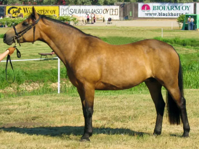
The Connemara pony, Capaillín Chonamara, is Ireland's only native pony breed, shaped by the region's harsh ground from Norse, Irish…
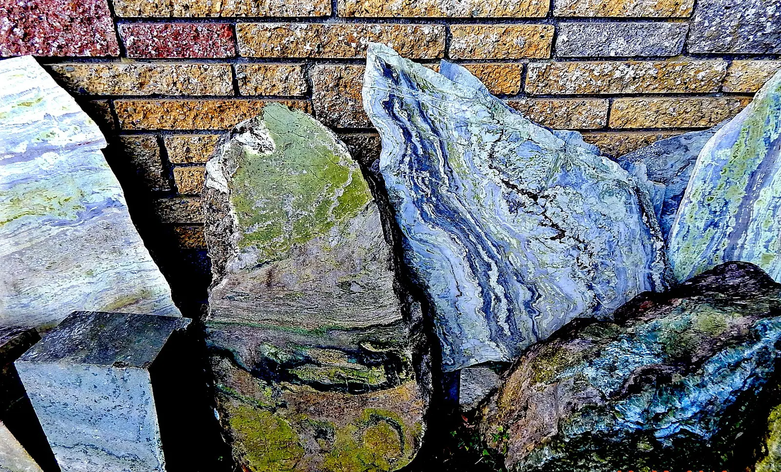
Connemara marble, Irish green, is the rare green marble quarried since the 1700s at Lissoughter near Recess and at Clifden: a true…
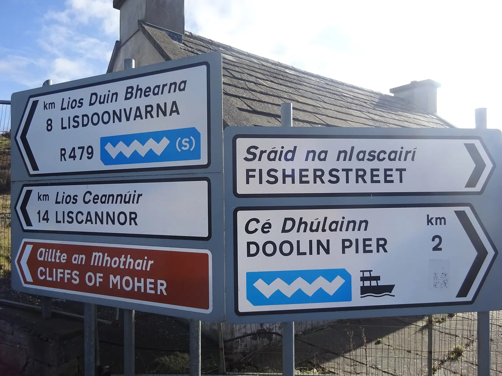
The Wild Atlantic Way is the 2,500 km coastal driving route from Inishowen in Donegal to Kinsale in Cork, launched in 2014 with 157…
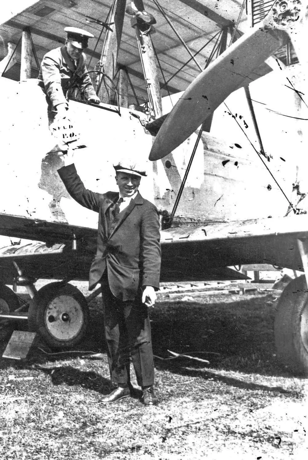
On 14 and 15 June 1919 John Alcock and Arthur Whitten Brown flew a Vickers Vimy from St John's, Newfoundland, to a bog at Derrygimlagh…
Jeff Buck, CC BY-SA 2.0 via Wikimedia Commons

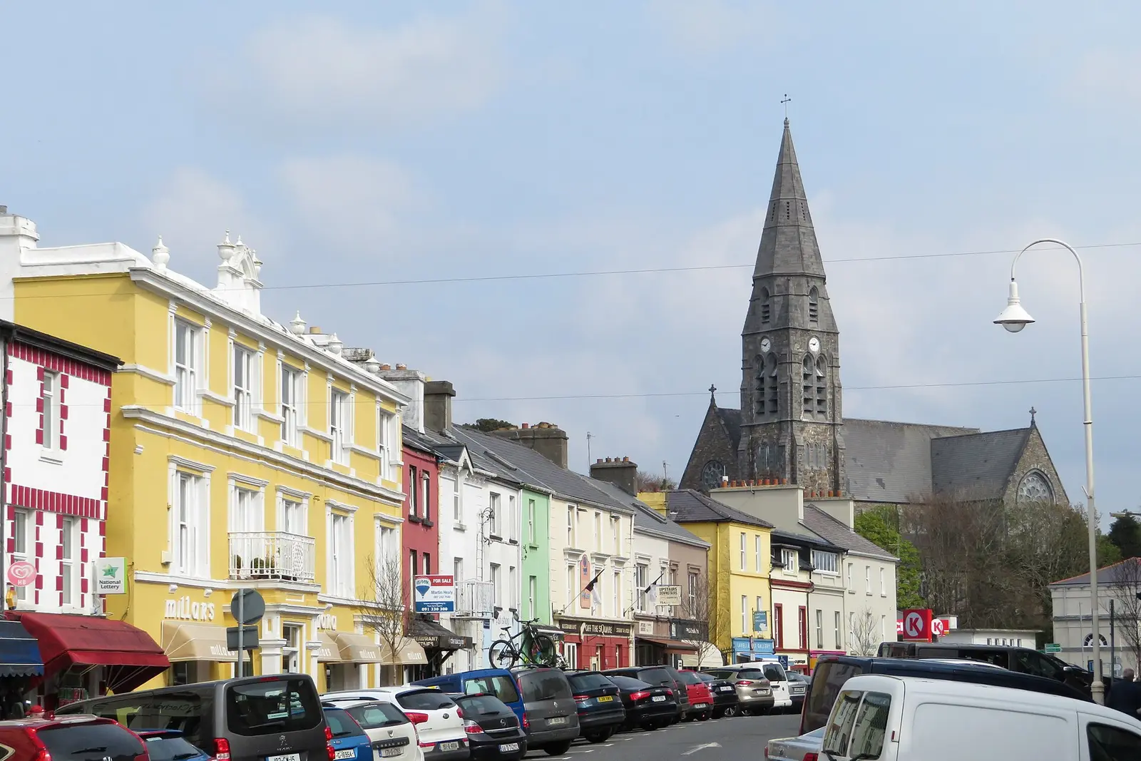
Gareth James, CC BY-SA 2.0 via Wikimedia Commons

Where to eat in Clifden
26 cafés, restaurants, takeaways and pubs on the map, 24 of them within 300 m of Market Square. 2 have hours on record.
- Griffin’sPubs · Main Street
- Off The SquareRestaurants · Main Street
- Upstairs DownstairsCafés · Bridge Street
- Guy’s BarPubs · Main Street
- Lowry’sPubs · Market Square
- Mitchell'sRestaurants · Market Street
- Mannion’sPubs · Market Street
- The Willow TreeRestaurants · Market Street
Restaurants · Cafés · Takeaways · Pubs
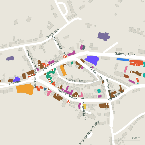
Every place to eat and drink as a pin; tap one for its page and directions.
Street by street
All 28 streets- Market Street26 placesregional road R341 · 244 m
- Main Street23 placesregional road R341 · 181 m
- Galway Road15 placesresidential street N59 · 2.1 km
- Bridge Street12 placesregional road R341 · 323 m
- The Low Road7 placeslink road · 409 m
- Sky Road6 placeslink road L1104 · 4.0 km
- Beach Road4 placesminor road · 1.1 km
- Market Square4 placesregional road R341 · 65 m
- Seaview4 placesminor road · 140 m
- Church Street3 placesresidential street · 119 m
Things to see around Clifden
Bert Kaufmann, public domain via Wikimedia Commons

Dieglop, CC BY-SA 4.0 via Wikimedia Commons

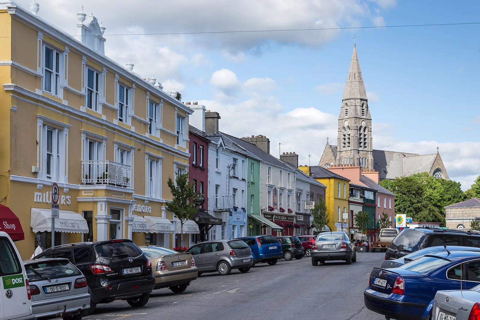
JoachimKohlerBremen, CC BY-SA 4.0 via Wikimedia Commons

Castles, abbeys, old churches, beaches, viewpoints and parks within 12 km, closest first, plus 4 ringforts and ancient sites and 5 holy wells on their own pages.
- Station House MuseumMuseums · 194 m
- Thomas Whelan MonumentMonuments · 297 m
- Clifden Lifeboat StationRuins · 626 m
- Monument HillMonuments · 795 m
- Lough BreenbanniaLakes · 1.1 km
- Lough AnimmaLakes · 1.2 km
- Salt LakeLakes · 1.2 km
- Faul LoughLakes · 1.3 km
- Lough AcraunnereenLakes · 1.5 km
Castles · Ringforts · Holy wells · Beaches · Hotels
Clifden in pictures
Photographs of the place and the country around it, each from an open archive and credited to the person who took it.
Jeff Buck, CC BY-SA 2.0 via Wikimedia Commons
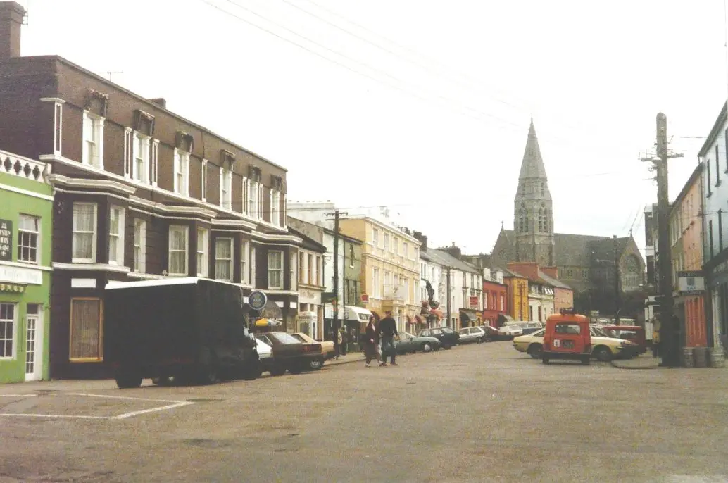
John Baker, CC BY-SA 2.0 via Wikimedia Commons

Bert Kaufmann, public domain via Wikimedia Commons
Gareth James, CC BY-SA 2.0 via Wikimedia Commons
JoachimKohlerBremen, CC BY-SA 4.0 via Wikimedia Commons
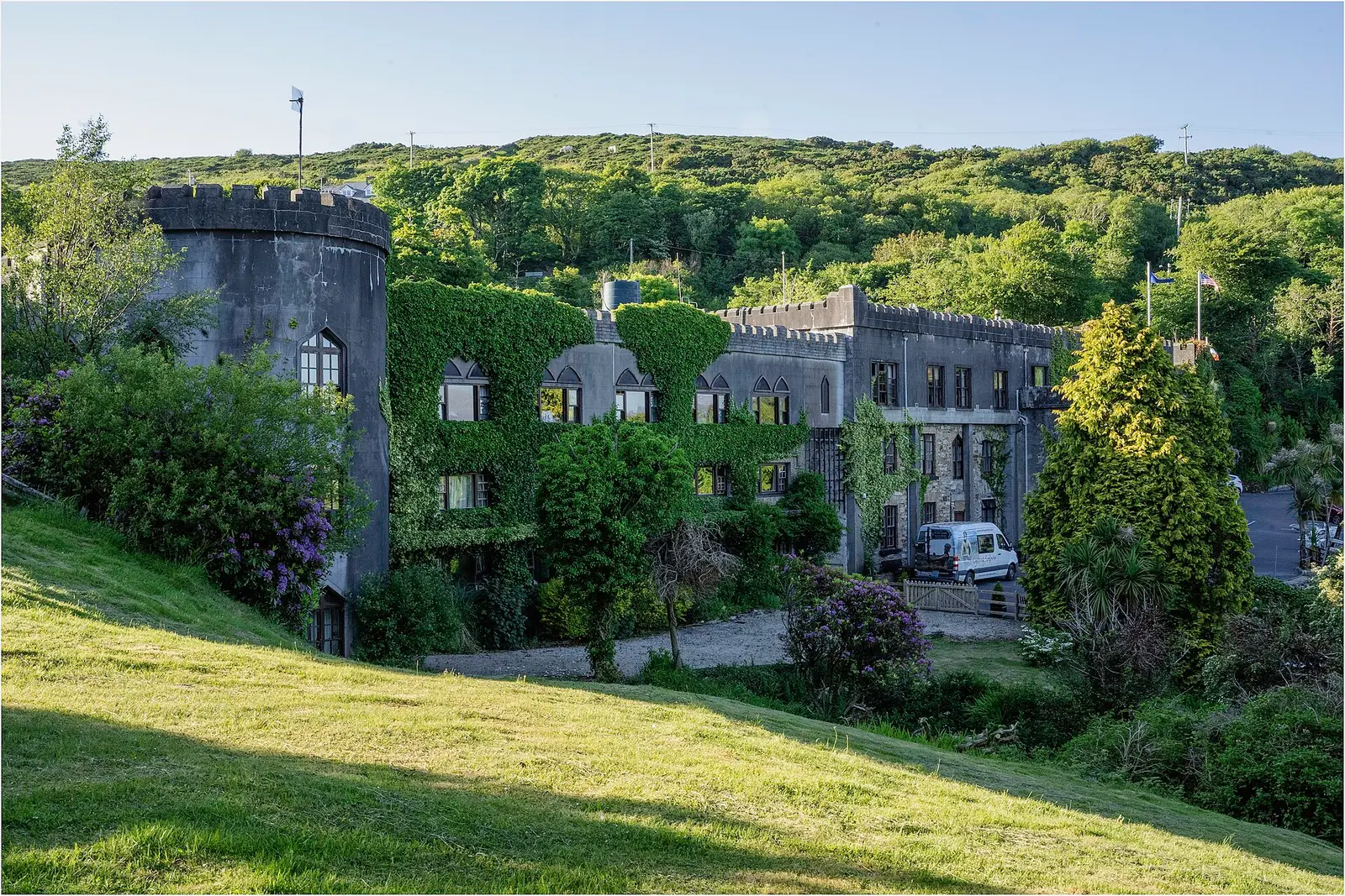
marneejill from Canada, CC BY-SA 2.0 via Wikimedia Commons

Dieglop, CC BY-SA 4.0 via Wikimedia Commons
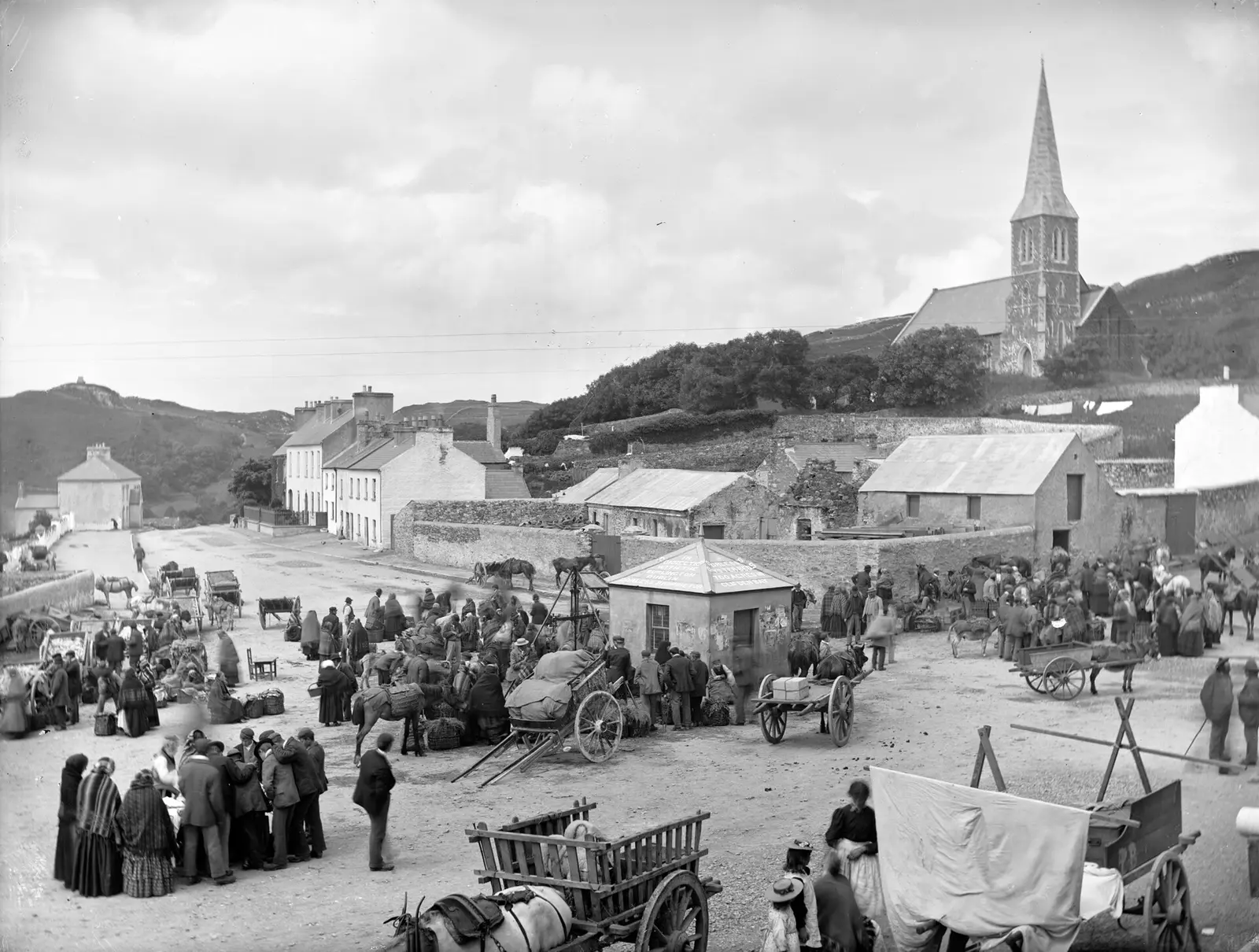
Robert French, no restrictions via Wikimedia Commons

Questions people ask
Where is Clifden?
What is the population of Clifden?
How far is Clifden from Galway?
Why is Clifden called the capital of Connemara?
What is Clifden known for?
What is the weather like in Clifden today?
How the model is built
The buildings are OpenStreetMap footprints, read on 2026-09-18, stood up to the height the map records or a plain two storeys where it records none. Streets, water and the base map come from the same project through OpenFreeMap. Places are the named shops, services and public buildings on the map; each has its own page.
A building takes the colour of the kind of place inside it: restaurants in red, pharmacies in green, schools in yellow. Nothing is invented to fill a gap: a missing fact is shown as missing, with a link to add it to the map. More about the model.