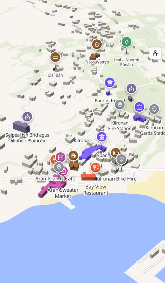
Kilronan, street by street
The harbour village of Inishmore, where the ferries from Rossaveal and Doolin come in, a Gaeltacht where only Cill Rónáin is the official name.
Kilronan is a village of 297 people, 45 km south-west of Galway city. This page is a working model of it: every one of its 764 buildings stands on the map above, and 86 shops, cafés, schools, churches and services have a page each, with the street, the hours where recorded, the nearest bus stop and car park, and a plan of the streets around it. Everything comes from open map data and says so.
Live forecast for the centre, hour by hour and the week ahead.
45 km from Galway, 2 km from Aeradróm Inis Mór, 0 bus stops, 0 car parks.
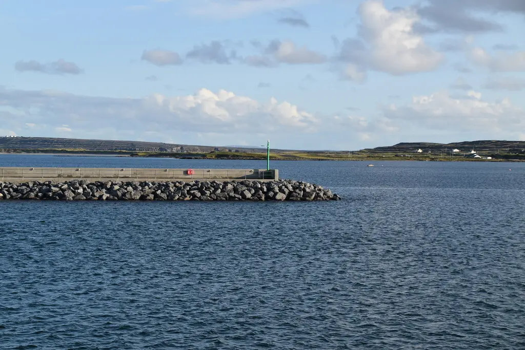
St Thomas's, St Ronan's bed, Arkin's Castle, Teampall Bheanáin, Dún Aonghasa, the wormhole.
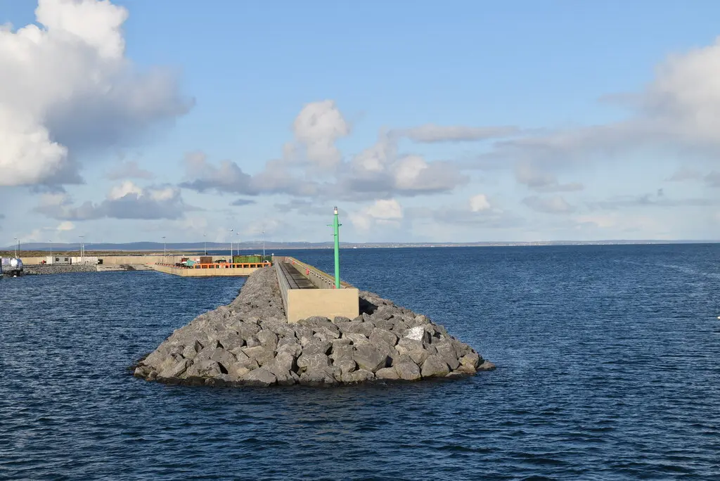
Honoria Gaffney, a Magnetic Fields song, and a village of 247 in 2016.
Population 297 at the 2011 census, where it is, what is here.
What is in Kilronan
5 restaurants, 3 pubs, 2 shops, 2 doctors and 3 banks and more, by kind. Each kind has a page listing every one, closest to the pier first.
Guides to Kilronan
All 9 guides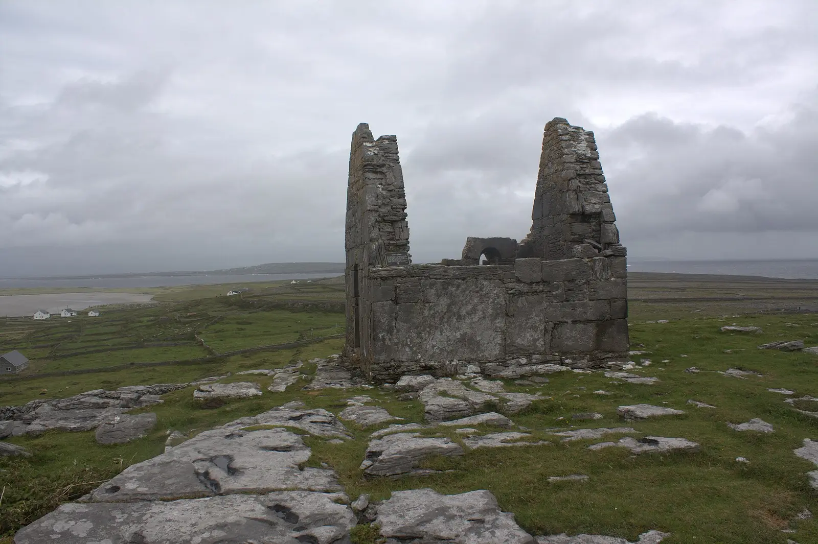
The Aran Islands, Inishmore, Inishmaan and Inisheer, lie across the mouth of Galway Bay: 46 square kilometres of limestone, 1,347 Irish…
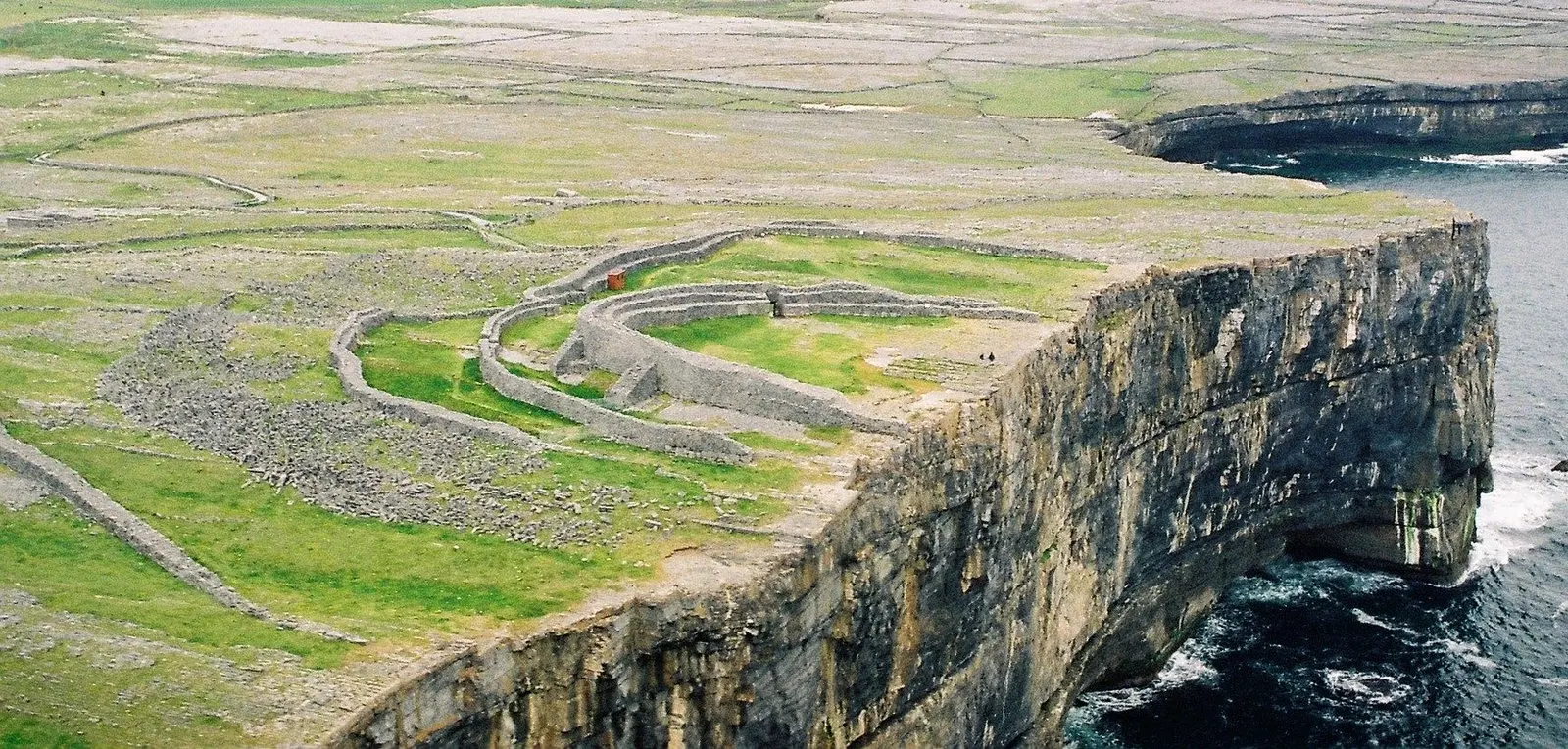
Dún Aonghasa is the great stone fort on the edge of a 100-metre cliff on Inishmore: four dry-stone walls, the first raised about 1100 BC…
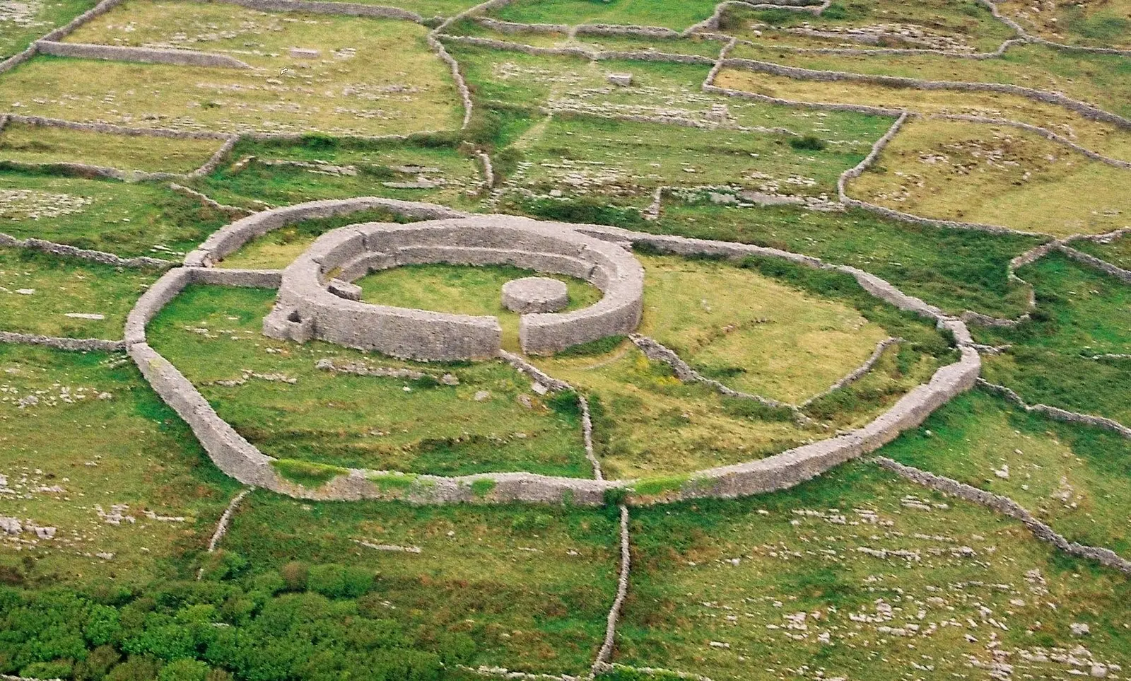
Inishmore, Árainn, is the largest Aran island at 31 square kilometres with 820 people in 2016: limestone pavement continued from the…
Inis Meáin, the middle island, has about 184 people, the fewest of the Arans, and is among the strongest holds of Irish tradition:…
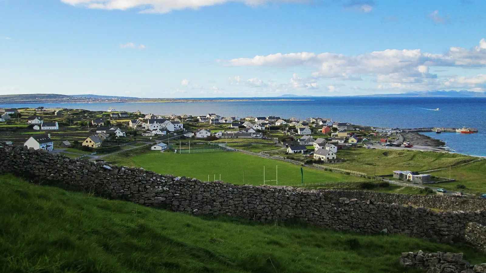
Inis Oírr, the eastern island, is the smallest of the Arans with 343 people in 2022, about 260 of them daily Irish speakers: Cnoc…
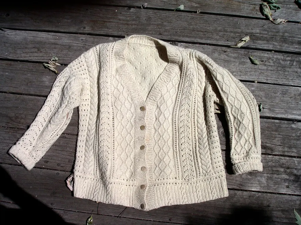
The Aran jumper, geansaí Árann, is the cream cable-knit sweater of the islands: undyed báinín wool, once unwashed so the lanolin kept it…
Where to eat in Kilronan
8 cafés, restaurants, takeaways and pubs on the map, 4 of them within 300 m of the pier. 1 have hours on record.
- The BarPubs · Lower Kilronan
- Aran Islands CaféCafés · An Bóthar Mór
- Bay View RestaurantRestaurants · Lower Kilronan
- The Pier HouseRestaurants
- Tí Joe Watty’sPubs · An Bóthar Mór
- MadigansPubs
- Mainistir HouseRestaurants · An Bóthar Mór
- Cuan Chill ÉinneTakeaways
Restaurants · Cafés · Takeaways · Pubs
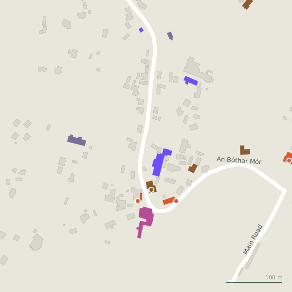
Every place to eat and drink as a pin; tap one for its page and directions.
Street by street
All 7 streets- An Bóthar Mór15 placesminor road · 1.9 km
- The Low Road2 placesminor road · 2.0 km
- Jacob's Ladder1 placepath · 52 m
Things to see around Kilronan
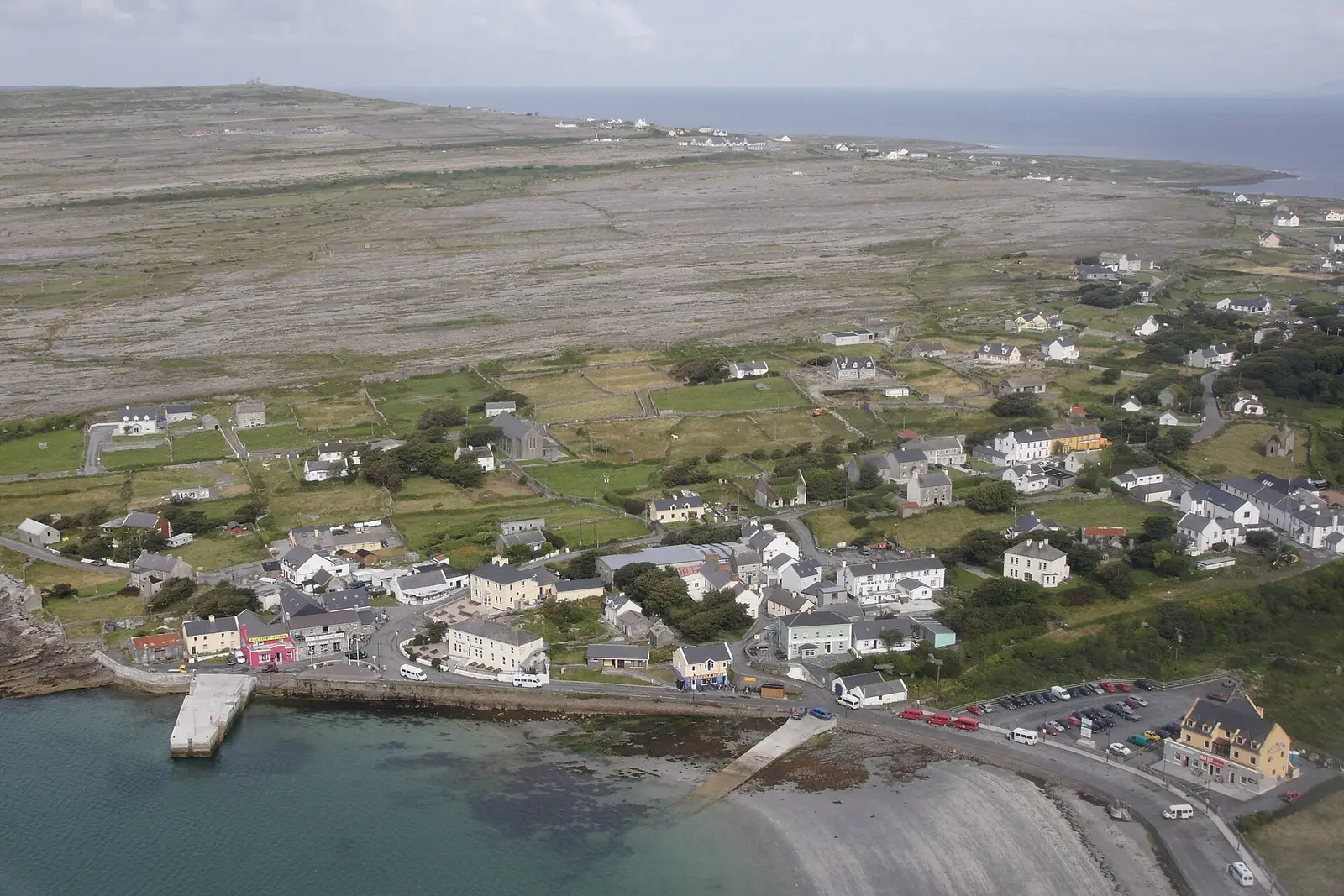
Herbert Ortner, CC BY 3.0 via Wikimedia Commons

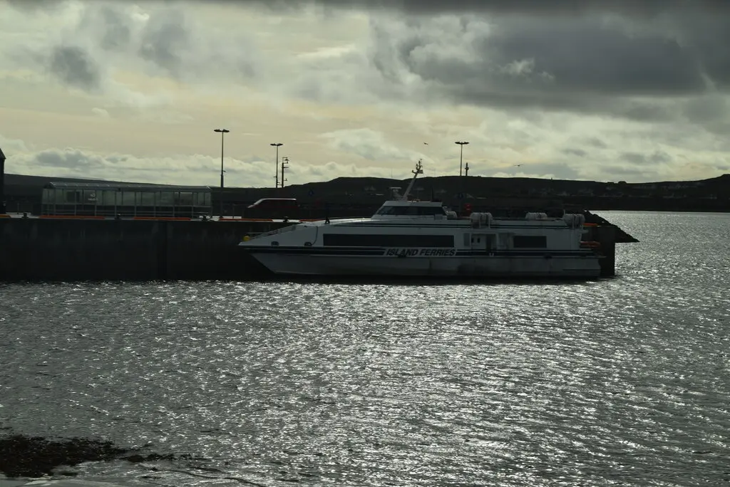
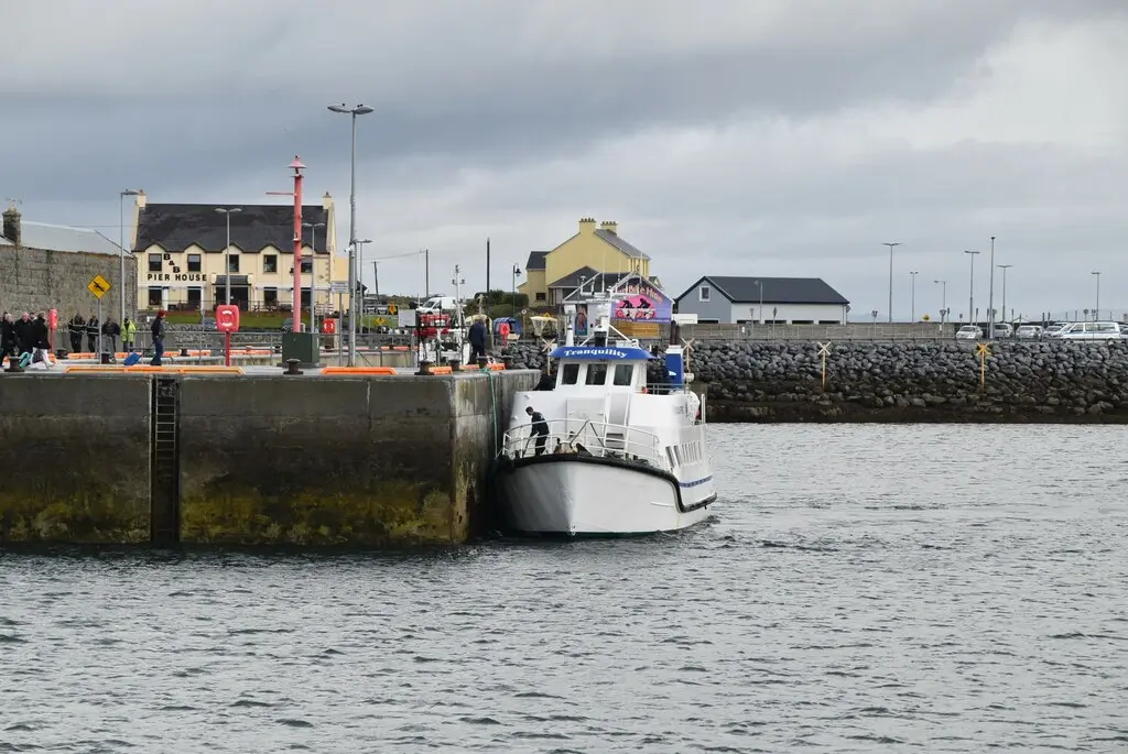
N Chadwick, CC BY-SA 2.0 via Wikimedia Commons

N Chadwick, CC BY-SA 2.0 via Wikimedia Commons

Castles, abbeys, old churches, beaches, viewpoints and parks within 12 km, closest first, plus 10 ringforts and ancient sites and 1 holy well on their own pages.
- Leaba Naomh RónáinAttractions · 458 m
- St. Kieran's Monastic SiteAbbeys · 1.7 km
- Arkin's CastleCastles · 1.8 km
- St. Eany's Monastic SiteAbbeys · 2.0 km
- Puffing holesAttractions · 2.1 km
- Dun Arann Signal TowerRuins · 2.3 km
- Cliffs of AranViewpoints · 3.1 km
- Kelp FactoryRuins · 3.4 km
- Seal Colony LookoutViewpoints · 3.5 km
Castles · Ringforts · Holy wells · Beaches · Hotels
Kilronan in pictures
Photographs of the place and the country around it, each from an open archive and credited to the person who took it.
Herbert Ortner, CC BY 3.0 via Wikimedia Commons
N Chadwick, CC BY-SA 2.0 via Wikimedia Commons
N Chadwick, CC BY-SA 2.0 via Wikimedia Commons
N Chadwick, CC BY-SA 2.0 via Wikimedia Commons

N Chadwick, CC BY-SA 2.0 via Wikimedia Commons

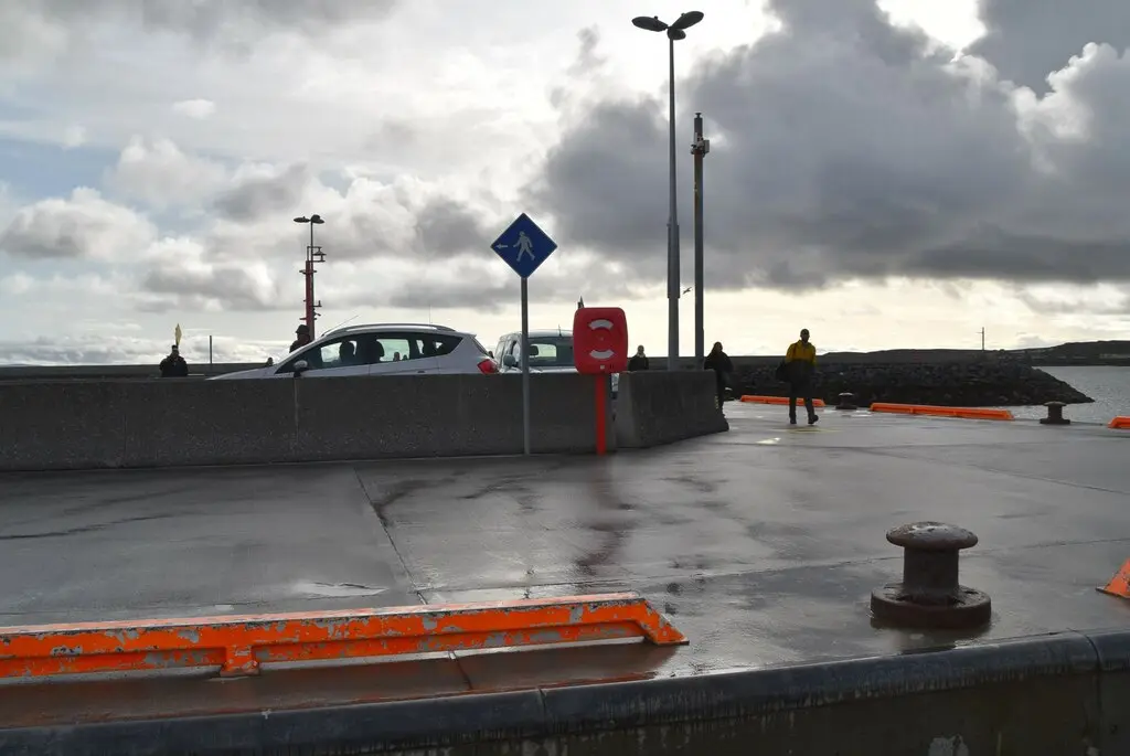
N Chadwick, CC BY-SA 2.0 via Wikimedia Commons

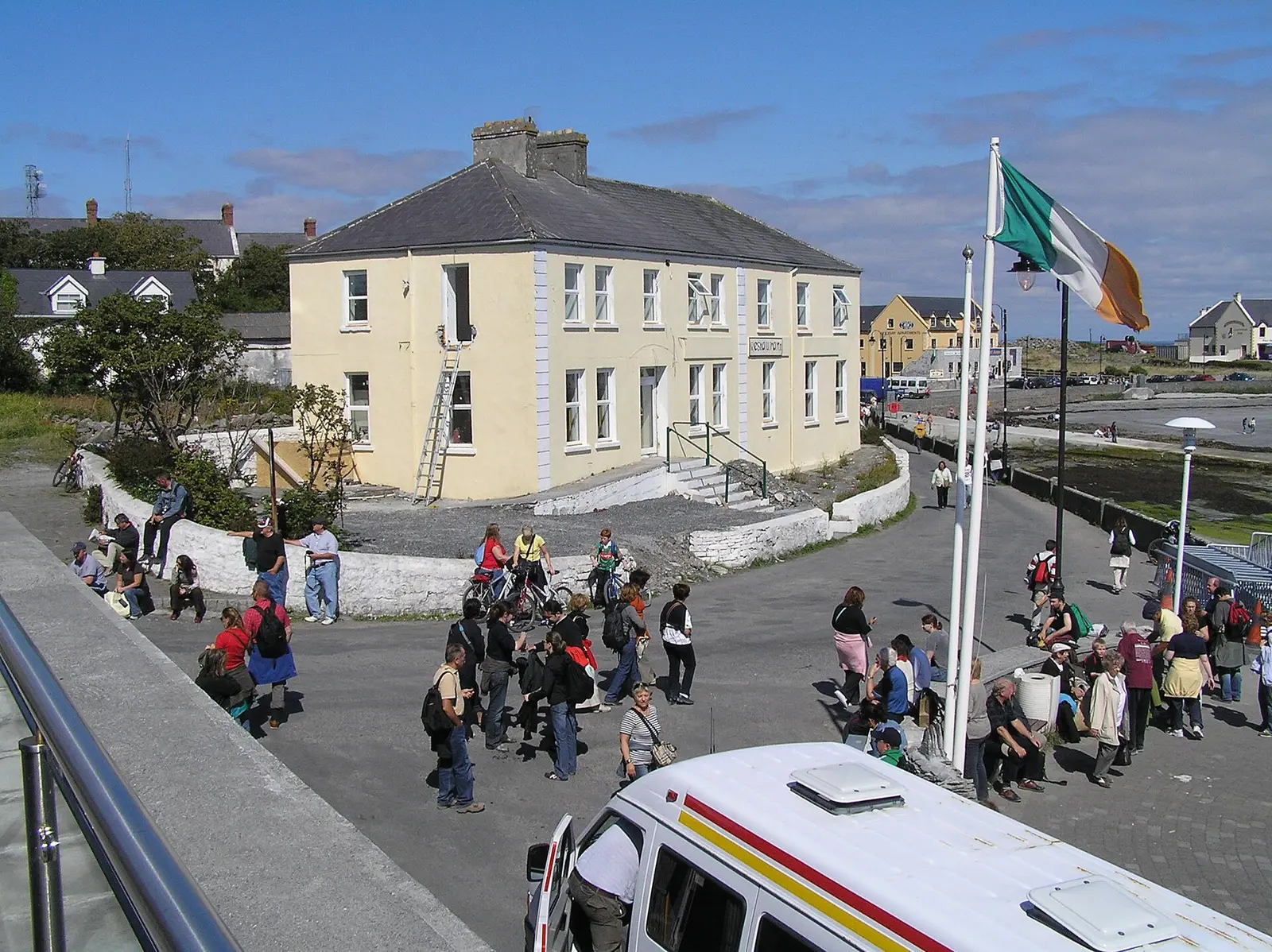
Martin Kerans, CC BY-SA 2.0 via Wikimedia Commons

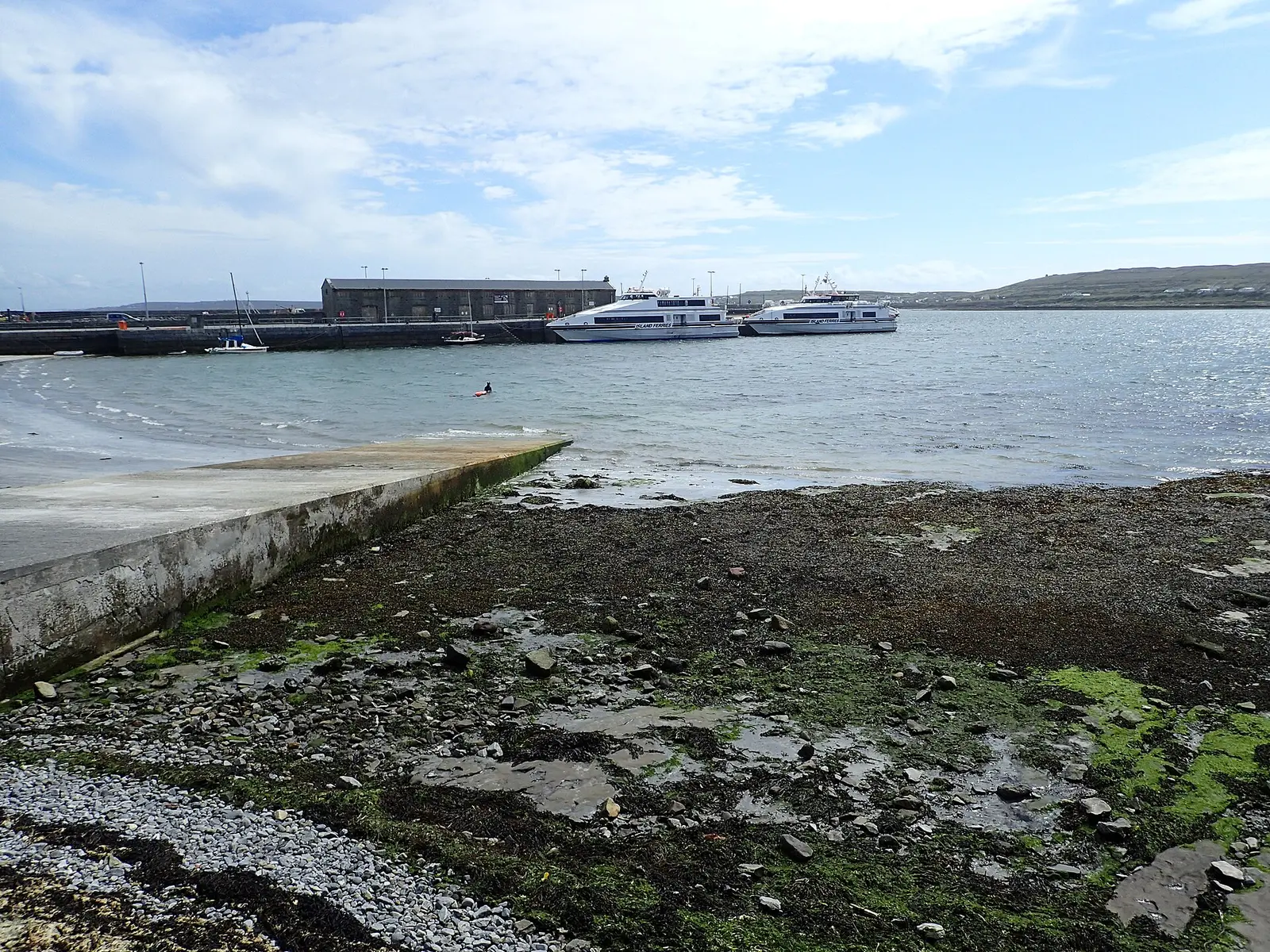
Marathon, CC BY-SA 2.0 via Wikimedia Commons

Questions people ask
Where is Kilronan?
What is the population of Kilronan?
How far is Kilronan from Galway?
What is Kilronan known for?
What is the weather like in Kilronan today?
How the model is built
The buildings are OpenStreetMap footprints, read on 2026-09-18, stood up to the height the map records or a plain two storeys where it records none. Streets, water and the base map come from the same project through OpenFreeMap. Places are the named shops, services and public buildings on the map; each has its own page.
A building takes the colour of the kind of place inside it: restaurants in red, pharmacies in green, schools in yellow. Nothing is invented to fill a gap: a missing fact is shown as missing, with a link to add it to the map. More about the model.