Letterfrack, street by street
A village Quakers founded in the Famine at the head of Ballinakill harbour, the gate of Connemara National Park, and the site of one of the oldest Marconi stations still standing.
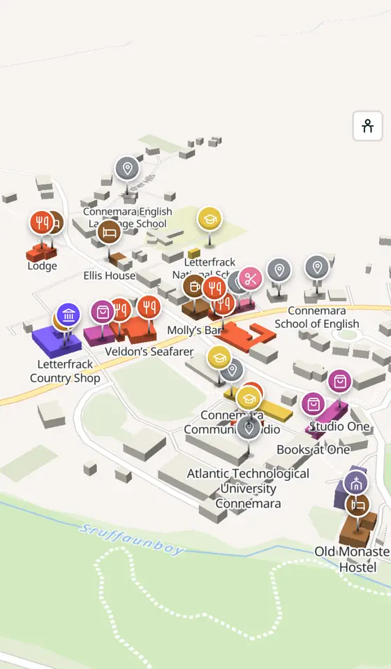
Letterfrack is a village of County Galway, 67 km north-west of Galway city. This page is a working model of it: every one of its 344 buildings stands on the map above, and 210 shops, cafés, schools, churches and services have a page each, with the street, the hours where recorded, the nearest bus stop and car park, and a plan of the streets around it. Everything comes from open map data and says so.
Live forecast for the centre, hour by hour and the week ahead.
67 km from Galway, 48 km from Aerphort Chonamara, 1 bus stop, 0 car parks.
The national park, St Joseph's, the Marconi building, Ellis House, Kylemore.
The Ellises, the mission, the industrial school, Marconi, Butler's church, the college.
where it is, what is here.
What is in Letterfrack
8 restaurants, 1 pubs, 4 shops, 1 hairdressers and beauty and 1 supermarkets and more, by kind. Each kind has a page listing every one, closest to the crossroads first.
- Restaurants8
- Pubs1
- Shops4
- Hairdressers and beauty1
- Supermarkets1
- Schools3
- Banks2
- Gyms and sport1
- Hotels5
- Churches3
- Parks and views102
- Castles and heritage22
Guides to Letterfrack
All 7 guides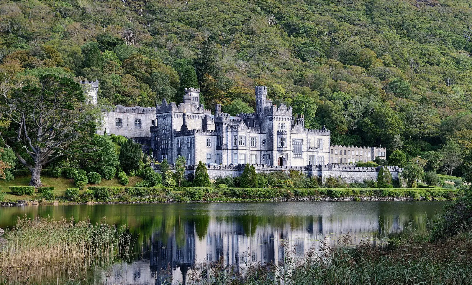
Kylemore Abbey is the Benedictine monastery in a Connemara castle built in 1868 for Mitchell Henry: 70 rooms of Dalkey granite and…
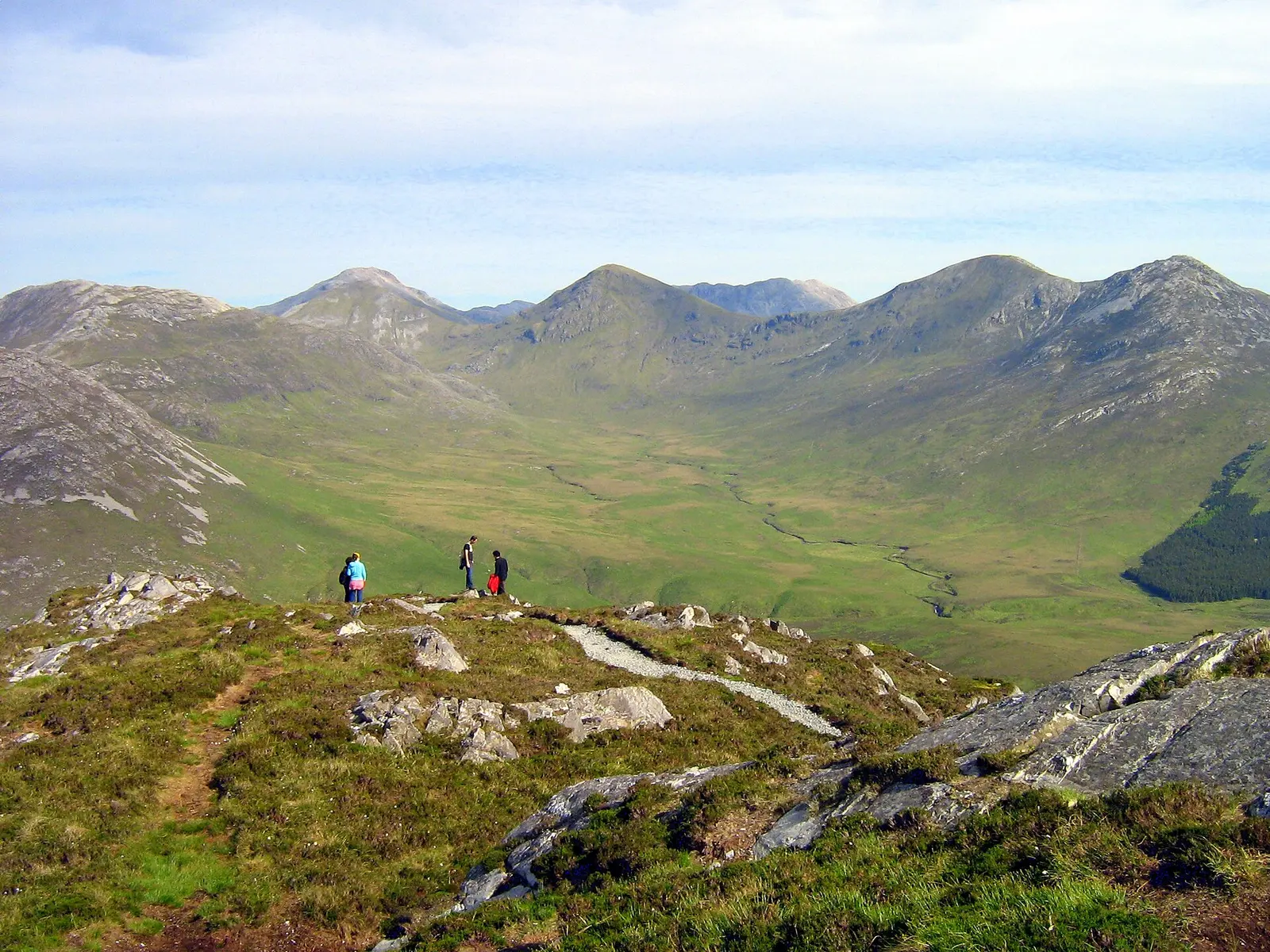
Connemara National Park at Letterfrack, opened in 1980, covers 2,000 hectares of mountain, blanket bog, heath and woodland that was once…
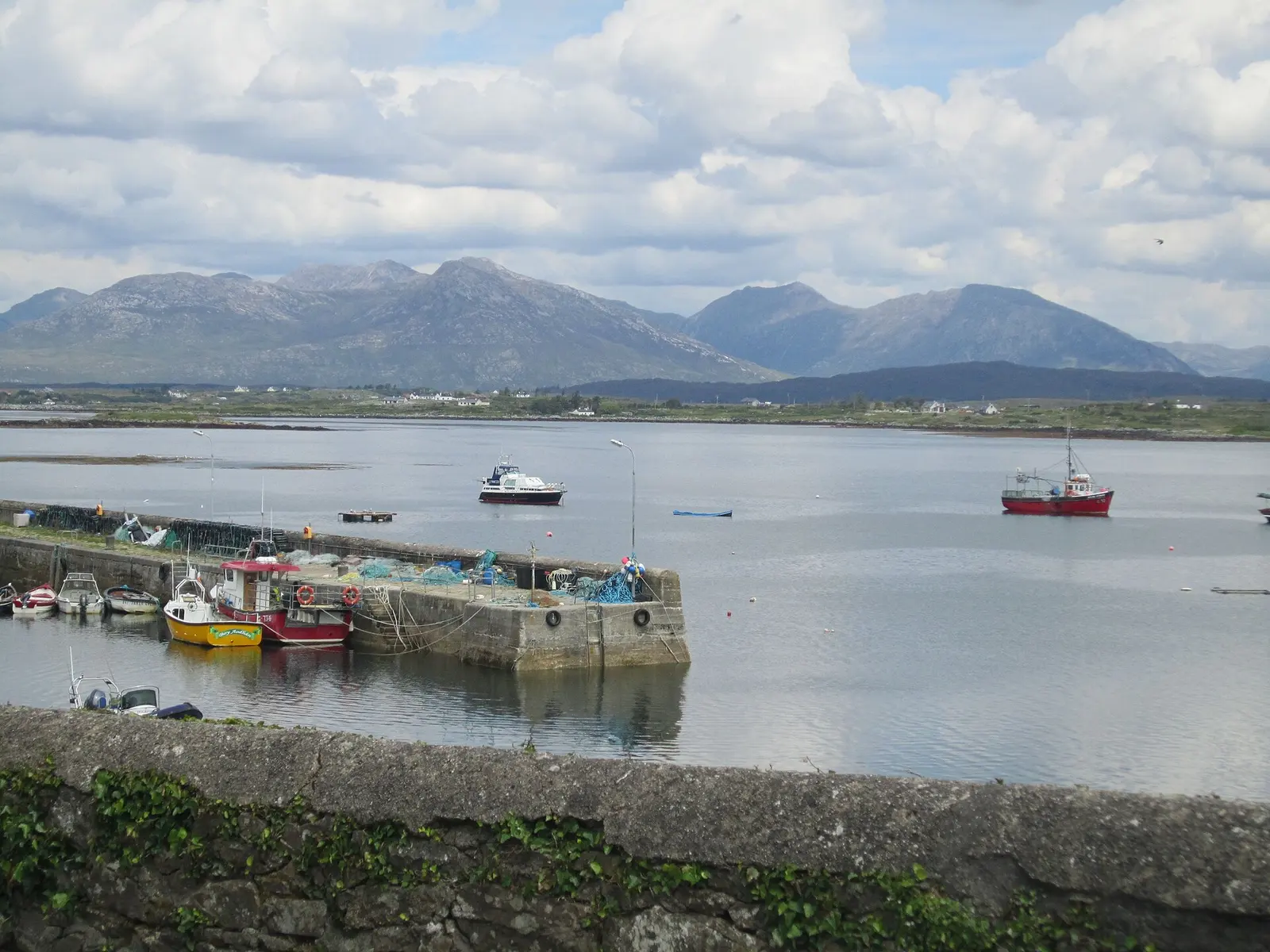
The Twelve Bens, Na Beanna Beola, are the quartzite peaks of Connemara National Park: Benbaun at 729 m the highest, 22 summits in the…
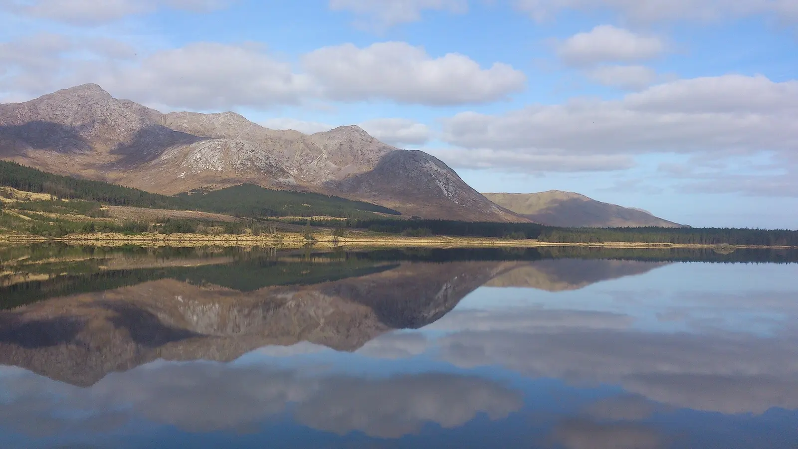
Lough Inagh, Loch Eidhneach, lies in the Inagh Valley on the R344 about 23 km east of Clifden, with Derryclare and Bencorr of the Twelve…
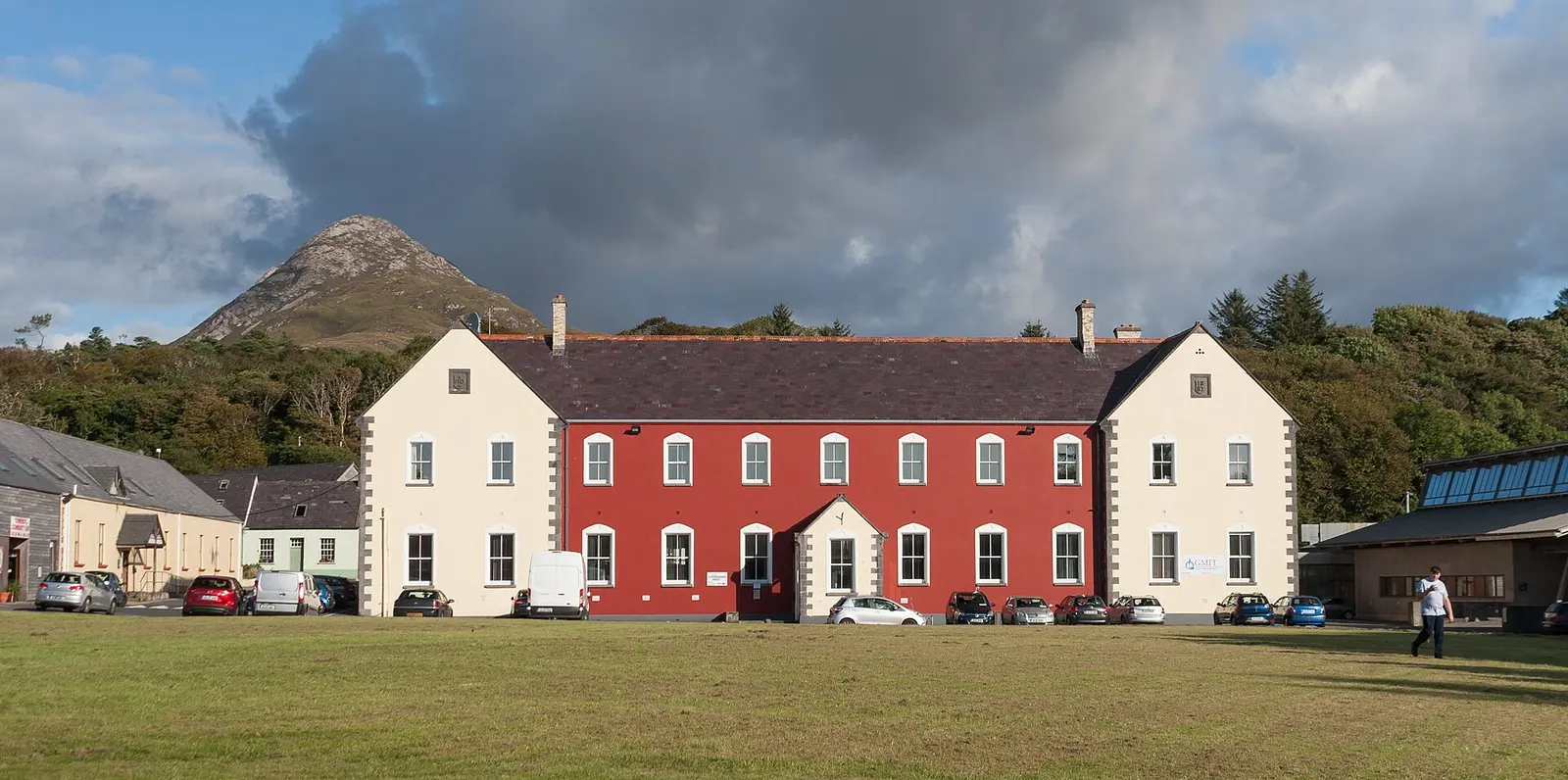
St Joseph's Industrial School at Letterfrack, built in 1886 and 1887 to William Hague's design and run by the Christian Brothers until…
Benbaun, Binn Bhán, the white peak, is the highest of the Twelve Bens and the county top of Galway at 729 metres, the 72nd highest peak…
Where to eat in Letterfrack
9 cafés, restaurants, takeaways and pubs on the map, 7 of them within 300 m of the crossroads. 3 have hours on record.
- Cloverfox, Bar and RestaurantRestaurants
- Molly’s BarPubs
- Pizza MaxTakeaways
- Veldon’s SeafarerRestaurants
- Kabo CoffeeCafés
- Courtyard café & restaurantCafés
- LodgeRestaurants
- Hungry Hiker CafeCafés
Restaurants · Cafés · Takeaways · Pubs
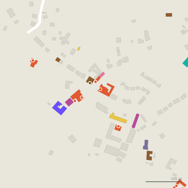
Every place to eat and drink as a pin; tap one for its page and directions.
Street by street
All 3 streets- Heather Hills1 placeservice road · 197 m
Things to see around Letterfrack
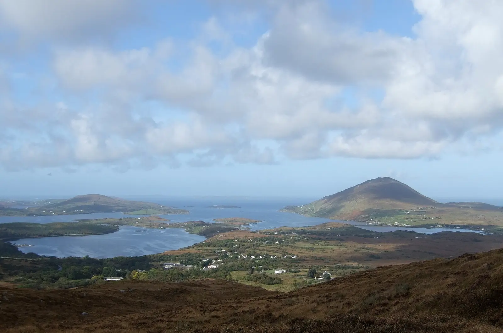
Chalky Lives, CC BY-SA 2.0 via Wikimedia Commons

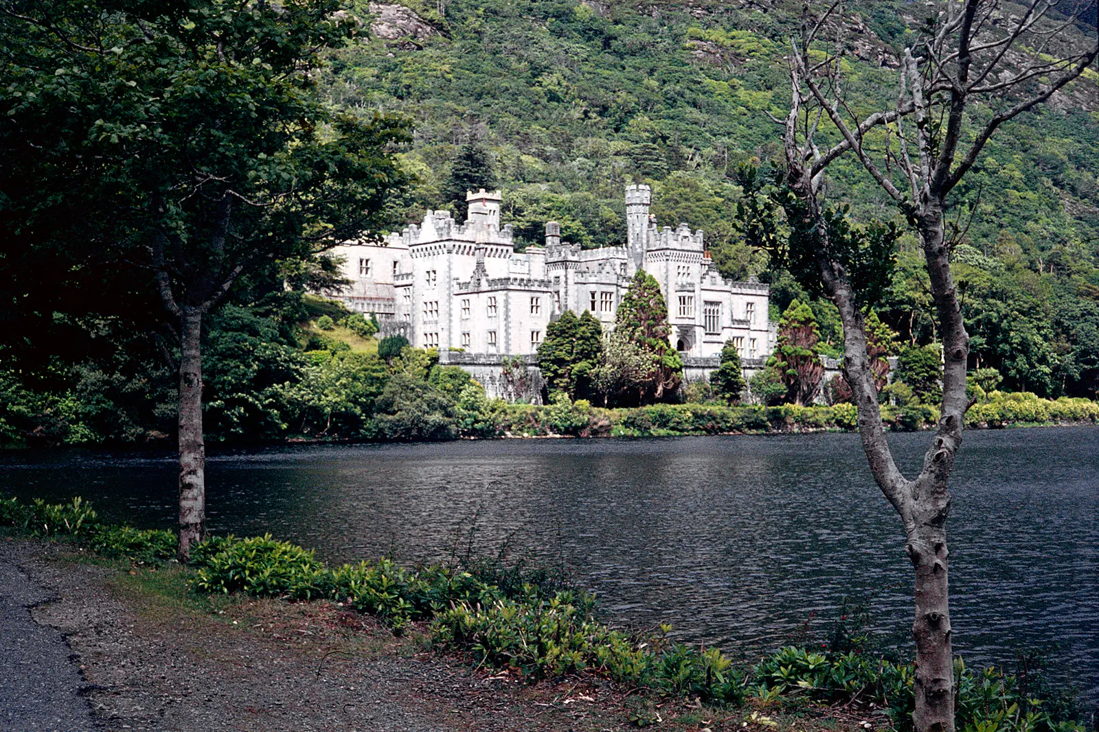
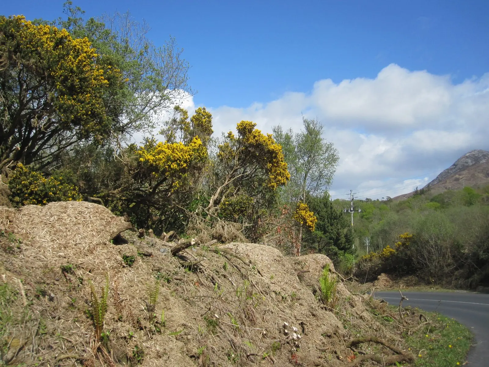
N Chadwick, CC BY-SA 2.0 via Wikimedia Commons

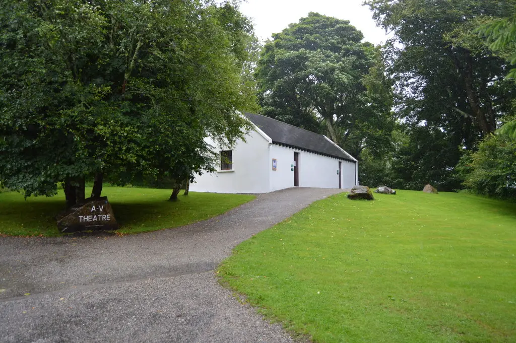
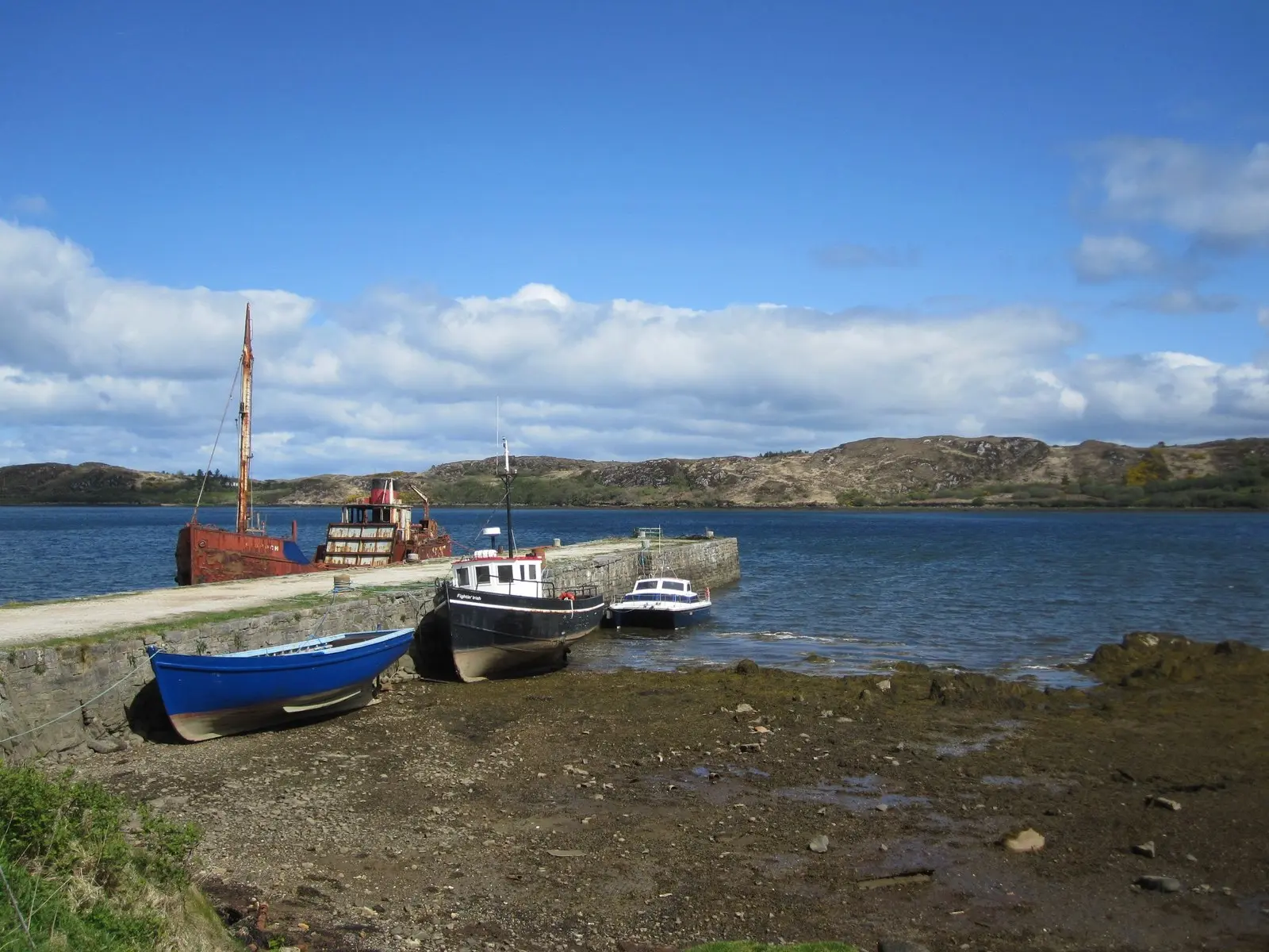
Roger D Kidd, CC BY-SA 2.0 via Wikimedia Commons

Castles, abbeys, old churches, beaches, viewpoints and parks within 12 km, closest first, plus 2 ringforts and ancient sites and 4 holy wells on their own pages.
- Connemara National Park Visitor CentreAttractions · 341 m
- Bunnaboghee LoughLakes · 988 m
- LoughaunkinakitLakes · 1.2 km
- LoughaunnahoonshyLakes · 1.7 km
- Kylemore Victorian Walled GardenParks · 2.9 km
- Lough ToutherLakes · 3.2 km
- Lough NagilkyLakes · 3.4 km
- Lough MaladrolaunLakes · 3.5 km
- Lough NagurogeLakes · 3.5 km
Castles · Ringforts · Holy wells · Beaches · Hotels
Letterfrack in pictures
Photographs of the place and the country around it, each from an open archive and credited to the person who took it.
Chalky Lives, CC BY-SA 2.0 via Wikimedia Commons
N Chadwick, CC BY-SA 2.0 via Wikimedia Commons
Roger D Kidd, CC BY-SA 2.0 via Wikimedia Commons
Keith Salvesen, CC BY-SA 2.0 via Wikimedia Commons

Keith Salvesen, CC BY-SA 2.0 via Wikimedia Commons

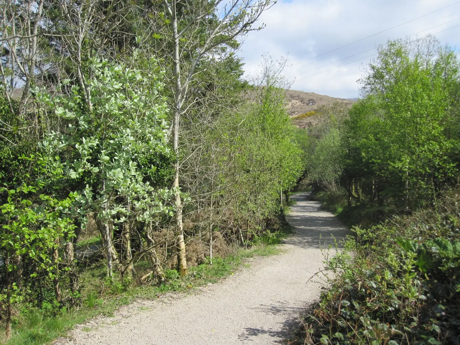
Keith Salvesen, CC BY-SA 2.0 via Wikimedia Commons

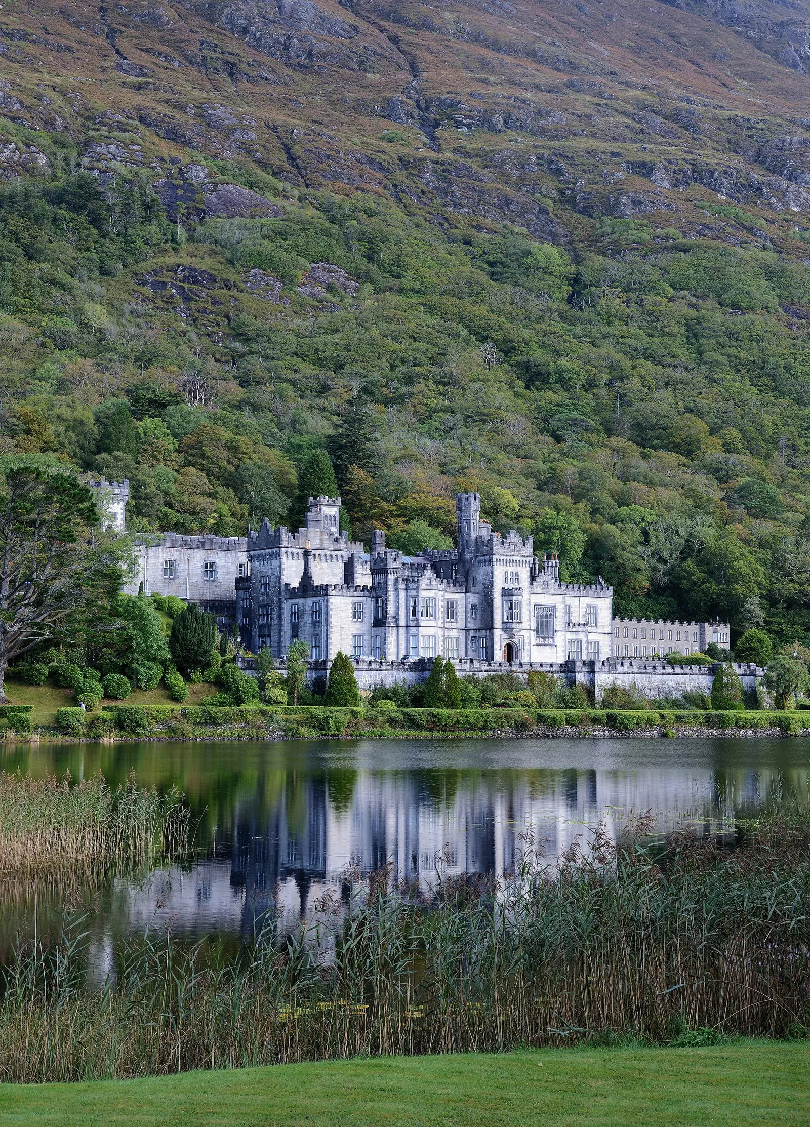
Alvesgaspar, CC BY-SA 4.0 via Wikimedia Commons

Questions people ask
Where is Letterfrack?
How far is Letterfrack from Galway?
What is Letterfrack known for?
What is the weather like in Letterfrack today?
How the model is built
The buildings are OpenStreetMap footprints, read on 2026-09-18, stood up to the height the map records or a plain two storeys where it records none. Streets, water and the base map come from the same project through OpenFreeMap. Places are the named shops, services and public buildings on the map; each has its own page.
A building takes the colour of the kind of place inside it: restaurants in red, pharmacies in green, schools in yellow. Nothing is invented to fill a gap: a missing fact is shown as missing, with a link to add it to the map. More about the model.