Doughiska
Until the end of the twentieth century a few families farmed Doughiska and the most notable thing in it was a very fine marble quarry, whose stone went into the refurbished cathedral. Then the city arrived down the dual carriageway. Planners marked the area for development in the 1990s and houses went up at a pace that changed the population of the east side within a decade.
Checked against the source on 2026-09-19.
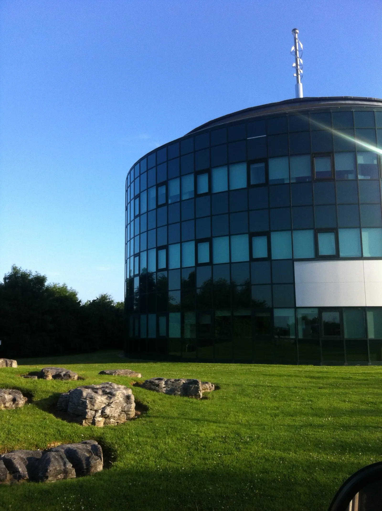
Darrin Antrobus, CC BY-SA 2.0 via Wikimedia Commons

Doughiska, Ardaun & Roscam family Resource Centre, Merlin Park Castle, Merlin Park University Hospital on the 3D model; tap a pin for its page and directions.
The name
Patrick Weston Joyce, in his nineteenth-century study of Irish place names, took Doughiska for a corruption of dubh uisce, black water; Tomás Seosamh Ó Máille, writing for the Galway Archaeological and Historical Society in 1949, thought it more likely dumhach uisce, and noted the form Doughuske as early as the sixteenth century.
Clubs, the Pope and the festival
Merlin Woods FC and Sports Club is based here. The area falls in the catchment of Castlegar hurling club, which in 1980 became the first club from west of the Shannon to win a club All-Ireland, and St James' GAA fields football teams; both play in the county senior championships. Ballybrit racecourse is next door, and it was there, on 30 September 1979, that Pope John Paul II told a crowd of 280,000 that he loved the young people of Ireland. Doughiska has also hosted outdoor concerts for the Arts Festival. The model pins the family resource centre and Merlin Park.
Questions people ask
What does Doughiska mean?
Which GAA clubs cover Doughiska?
Written from Wikipedia, "Doughiska" (CC BY-SA 4.0), read on 2026-09-19, and from the OpenStreetMap places on the model. Nothing has been added from memory; follow the source for its footnotes.