The Eglinton Canal
The stone-walled channel that runs from the Claddagh basin up past the cathedral to the river is the Eglinton Canal, cut through the west side of the town between 1848 and 1852 to let boats pass from the sea to Lough Corrib. Its last boat went through in 1954, while the swing bridges were being pulled down around it, and it has been a quiet water for anglers and kayakers since.
Checked against the source on 2026-09-19.
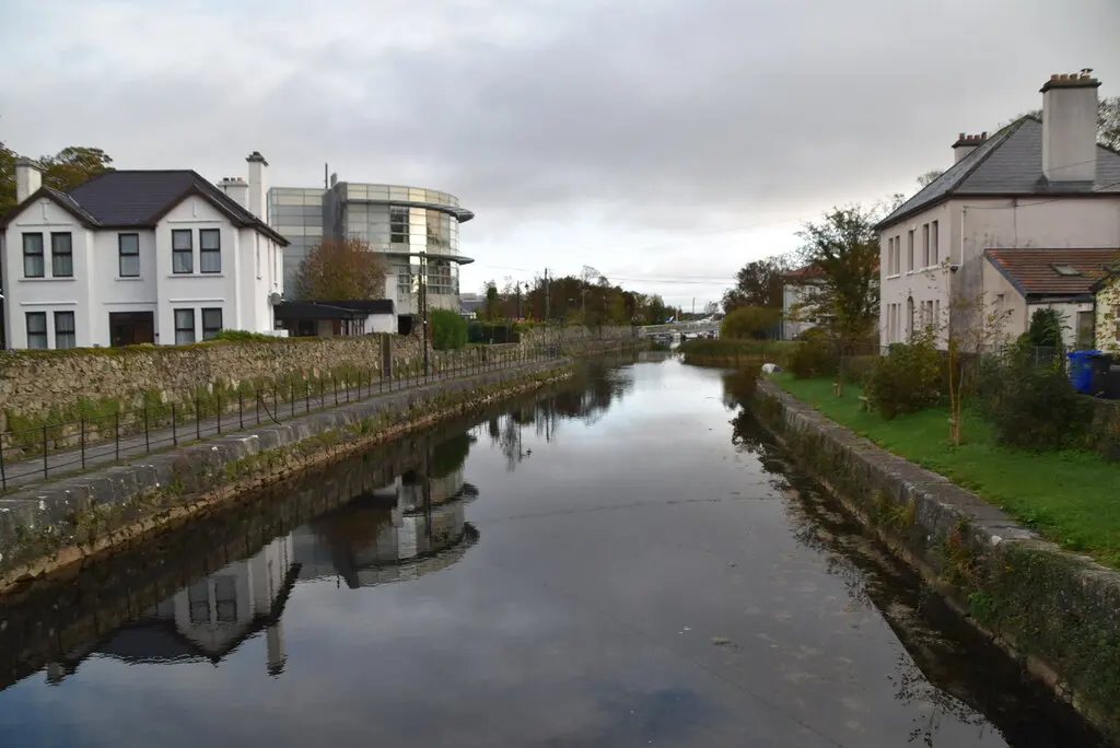
N Chadwick, CC BY-SA 2.0 via Wikimedia Commons

Claddagh Basin, Galway Cathedral on the 3D model; tap a pin for its page and directions.
Nimmo's proposal and the Famine works
The idea of a canal between the city and the lake went back to the mayoralty of Andrew Lynch, and in 1822 the engineer Alexander Nimmo proposed one to grow the town's trade. Work finally began in March 1848, in the depth of the Famine, and gave employment as a relief scheme for four years. The canal was designed eight feet deep and forty feet wide at the bottom, with two locks, at Parkavera and the Claddagh basin, and five swing bridges; its walls are black limestone from the Angliham quarry at Menlo. Water was let in on 15 September 1851, and the Lord Lieutenant, the Earl of Eglinton, opened it formally on 28 August 1852.
Tolls, decline and the last boat
The canal eased the winter floods and improved the trade routes. Tolls tell the story of its use: 370 pounds in 1880, 992 in 1904, 35 in 1905, one pound in 1916. In 1954 Frank Bailey's yacht Amo II became the last boat to pass through: the five swing bridges were found to be dangerous and unable to close once opened, and they were being removed as the yacht went by. Fixed concrete bridges replaced them, and no vessel has been able to use the canal since. The historian Maurice Semple fought to save the locks that year; the Parkavera lock was nevertheless removed between 2014 and 2017 for safety. In 1967 Peadar O'Dowd founded the Galway Waterways Preservation Society, which stopped a plan to turn the canal and the Claddagh basin into a road and car park.
The canal today
Today the water is used for fishing and kayaking, and the towpath is one of the pleasanter walks from the Claddagh up to the university. In 2025 the European Union granted Galway City Council 3.36 million euro for a project called WATERWAY, to fit three small hydropower turbines along the city's canals and generate public electricity by 2029.
Questions people ask
Can you take a boat through the Eglinton Canal?
When was the Eglinton Canal built?
What is the Eglinton Canal used for now?
Written from Wikipedia, "Eglinton Canal" (CC BY-SA 4.0), read on 2026-09-19, and from the OpenStreetMap places on the model. Nothing has been added from memory; follow the source for its footnotes.