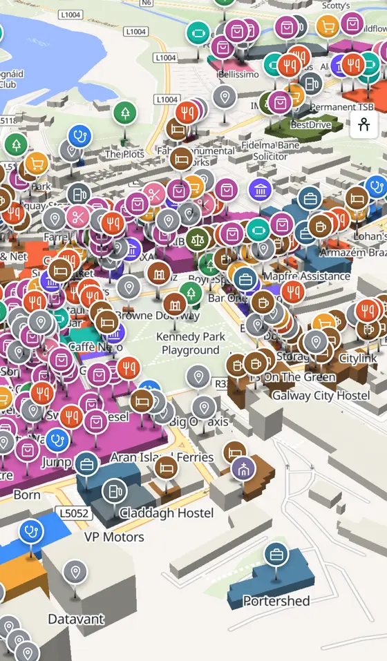
Galway, street by street
A fort at the mouth of the Gaillimh, fourteen merchant families behind a wall, a port that traded with Spain, and the city of festivals it turned into.
Galway city is a city of 85,910 people. This page is a working model of it: every one of its 39,574 buildings stands on the map above, and 2269 shops, cafés, schools, churches and services have a page each, with the street, the hours where recorded, the nearest bus stop and car park, and a plan of the streets around it. Everything comes from open map data and says so.
Live forecast for the centre, hour by hour and the week ahead.
185 km from Dublin, 28 km from Aerphort Chonamara, 346 bus stops, 28 car parks.
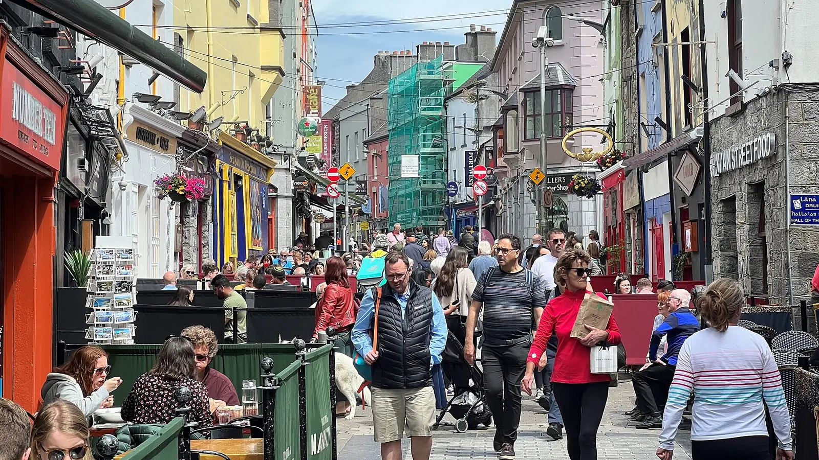
The medieval streets, the Spanish Arch, St Nicholas' church, the cathedral, the Claddagh, Salthill, and a festival almost every month.
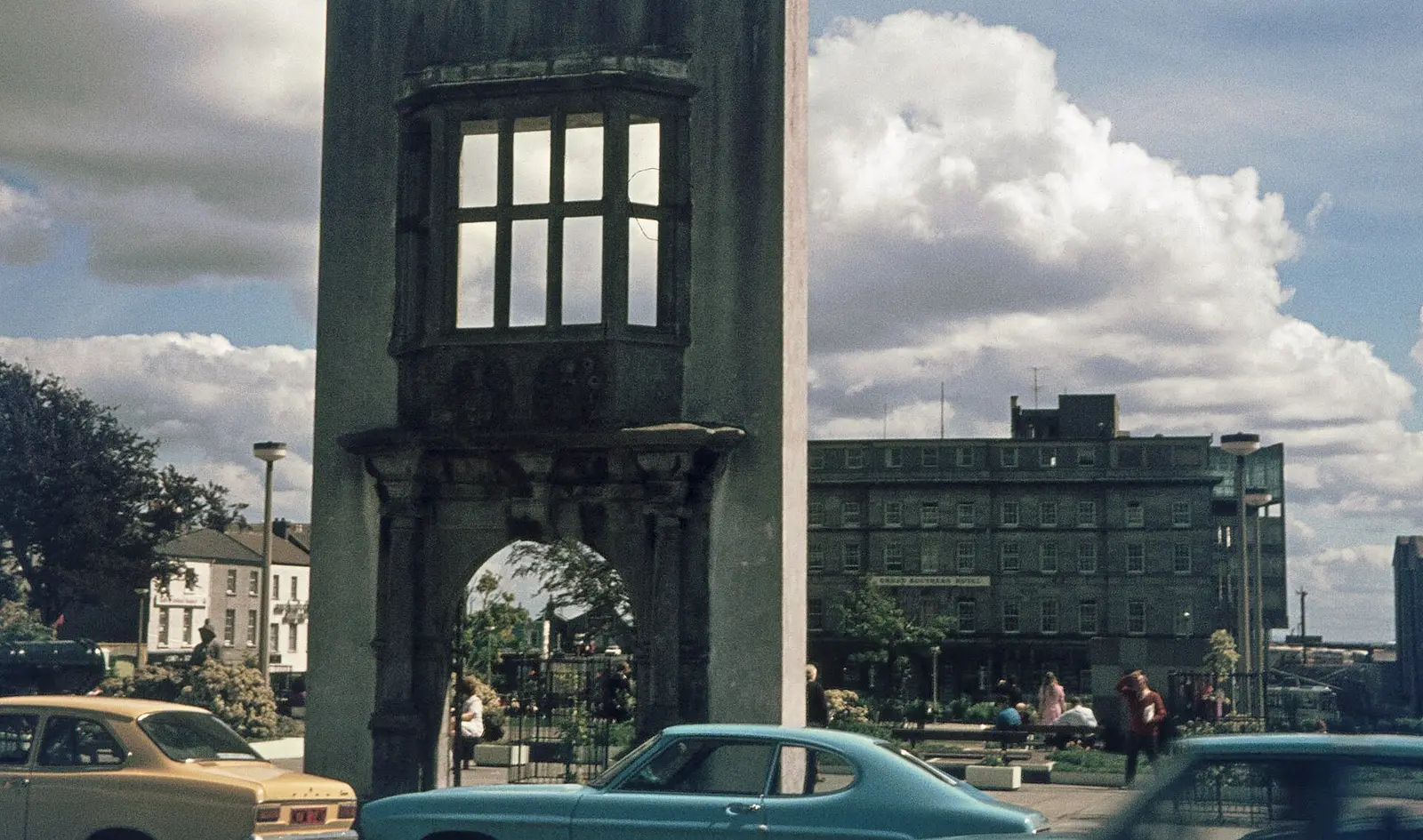
The 1124 fort, the Tribes and their charter, Columbus, the Spanish trade, Cromwell, the Queen's College and the railway.
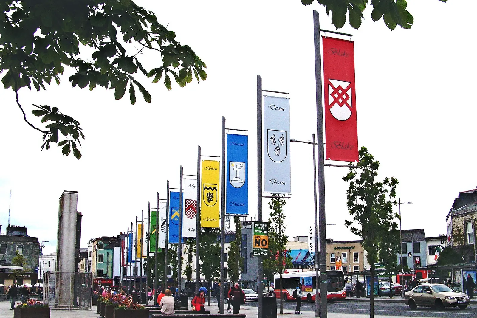
Population 85,910 at the 2022 census, where it is, what is here.
What is in Galway
282 restaurants, 91 pubs, 312 shops, 90 hairdressers and beauty and 105 supermarkets and more, by kind. Each kind has a page listing every one, closest to Eyre Square first.
- Restaurants282
- Pubs91
- Shops312
- Hairdressers and beauty90
- Supermarkets105
- Pharmacies37
- Doctors97
- Schools73
- Banks47
- Solicitors9
- Offices and agents62
- Petrol91
- Gyms and sport103
- Hotels118
- Churches43
- Parks and views76
- Castles and heritage64
Guides to Galway
All 75 guides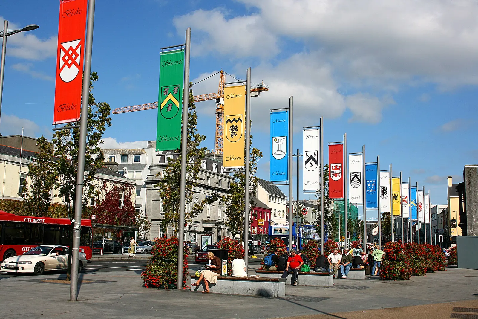
Ceannt Station is on Eyre Square in the centre of Galway: two platforms, trains to Dublin Heuston, Limerick and Athenry, a booking…
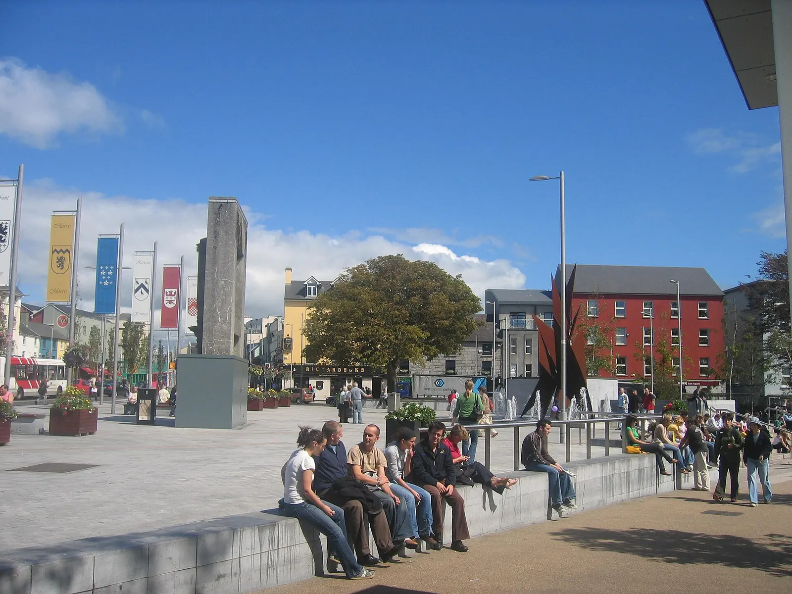
Eyre Square is the park at the heart of Galway, beside the railway station and the top of Shop Street: a medieval green given to the…
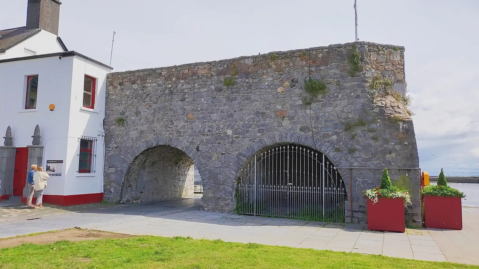
The Spanish Arch and the Blind Arch are the two surviving arches of the wall built in 1584 to guard Galway's quays; the Eyres cut them…
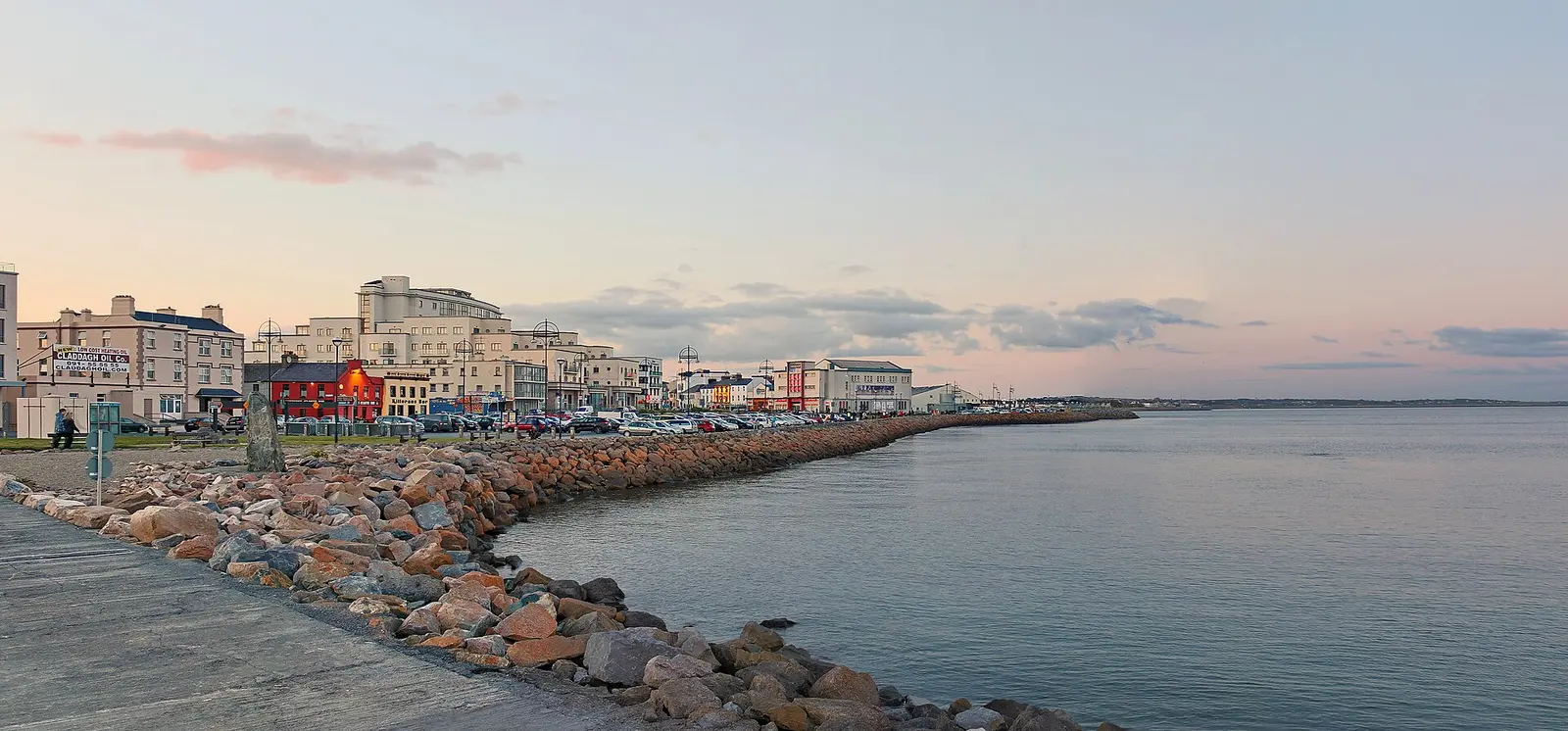
Salthill is Galway's seaside, two kilometres of promenade along Galway Bay south-west of the centre: bathing lodges from the 1830s, a…
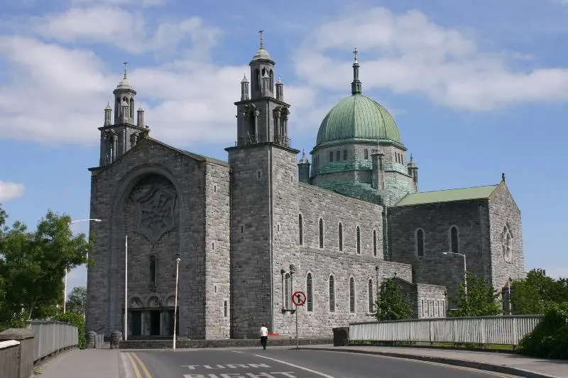
Galway Cathedral, the Cathedral of Our Lady Assumed into Heaven and St Nicholas, was built of local limestone on the site of the old…
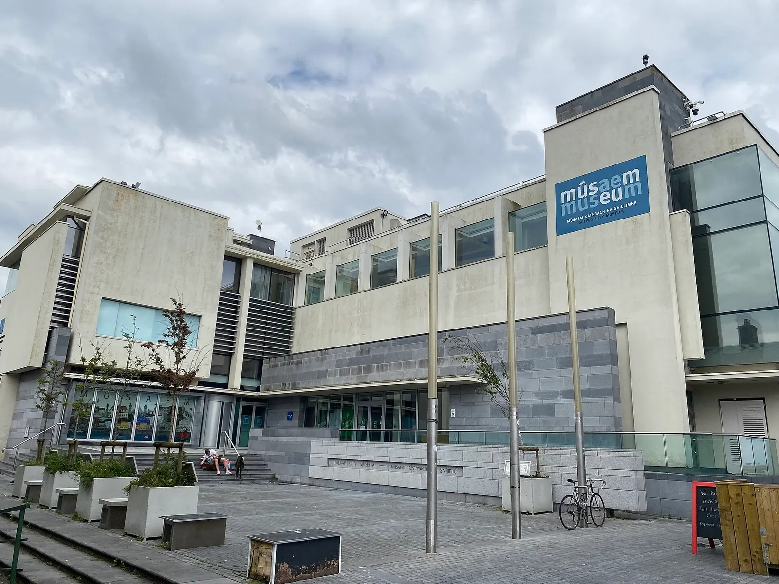
Galway City Museum stands behind the Spanish Arch in a purpose-built home opened in 2007: medieval stones from the Tribes' houses, the…
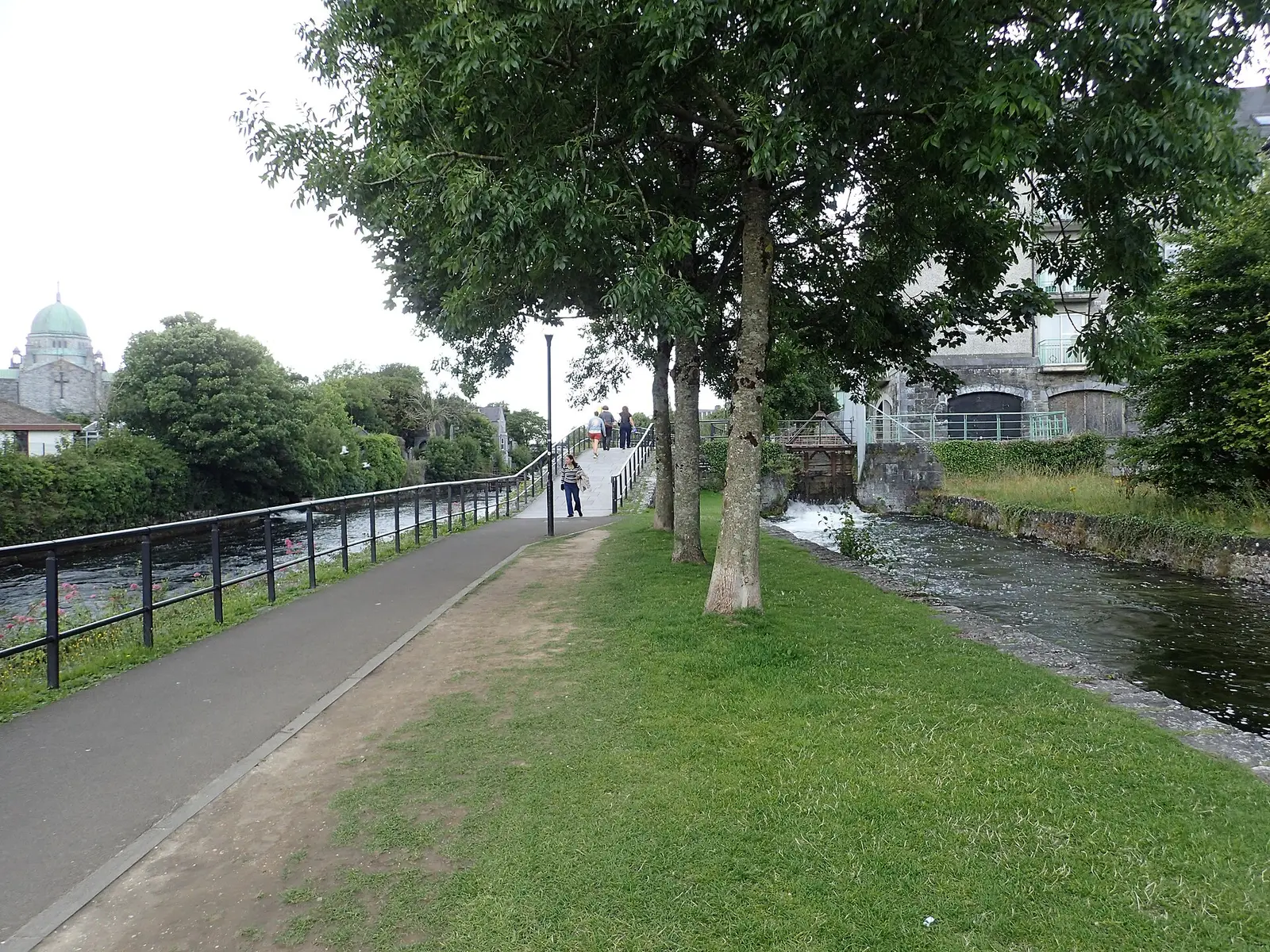
Klaus Liphard, CC BY-SA 2.0 via Wikimedia Commons

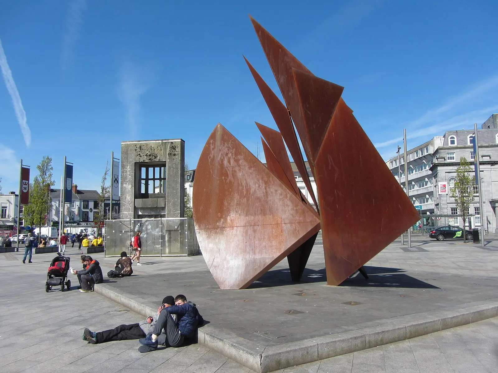
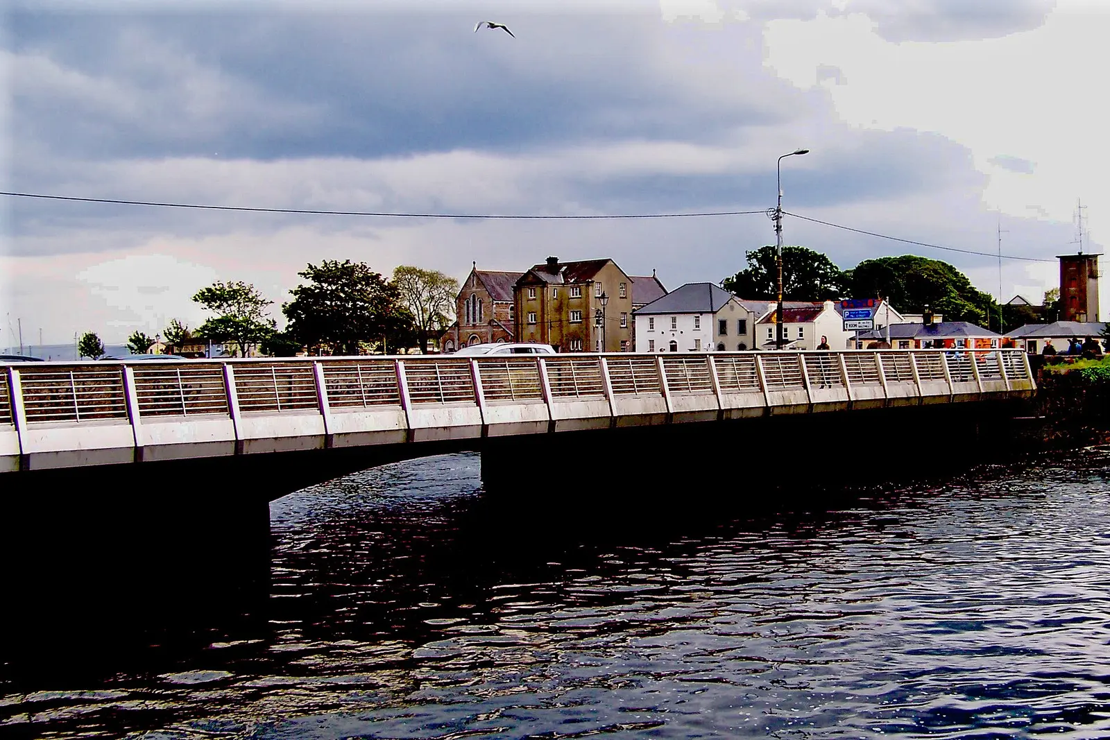
Gareth James, CC BY-SA 2.0 via Wikimedia Commons

Where to eat in Galway
373 cafés, restaurants, takeaways and pubs on the map, 98 of them within 300 m of Eyre Square. 128 have hours on record.
- O’Connell’sPubs · Eyre Square
- Fibber Magee’sPubs · Eyre Square
- Gatto RossoRestaurants · Eyre Square
- Esquires CoffeeCafés · Eyre Square
- The SkeffPubs · Eyre Square
- Caffè NeroCafés · Eyre Square
- Jack J. Foley’sPubs · Eyre Square
- Dough BrosTakeaways · Eyre Square
Restaurants · Cafés · Takeaways · Pubs
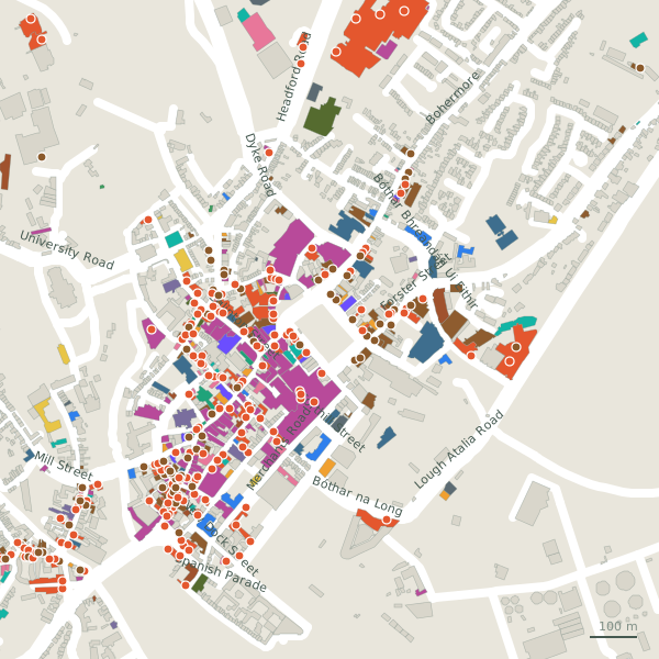
Every place to eat and drink as a pin; tap one for its page and directions.
Street by street
All 840 streets- Tuam Road101 placesnational road N83 · 7.0 km
- Headford Road97 placesnational road N84 · 5.8 km
- Upper Salthill Road70 placesregional road R864 · 3.4 km
- Glenrock Business Park45 placesservice road · 597 m
- Briarhill Business Park42 placesminor road · 649 m
- Eyre Square41 placesregional road R336 · 496 m
- High Street32 placespedestrianised street L5143 · 100 m
- Prospect Hill30 placesregional road R336 · 292 m
- Western Distributor Road29 placeslink road L1012 · 4.0 km
- Dominick Street Lower28 placesminor road L5102 · 167 m
Things to see around Galway
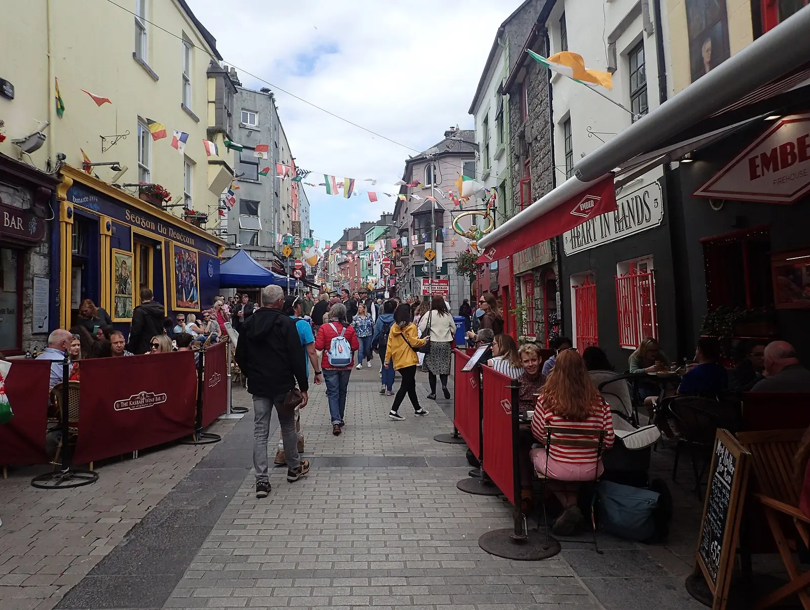
Marathon, CC BY-SA 2.0 via Wikimedia Commons

Suzanne Mischyshyn, CC BY-SA 2.0 via Wikimedia Commons

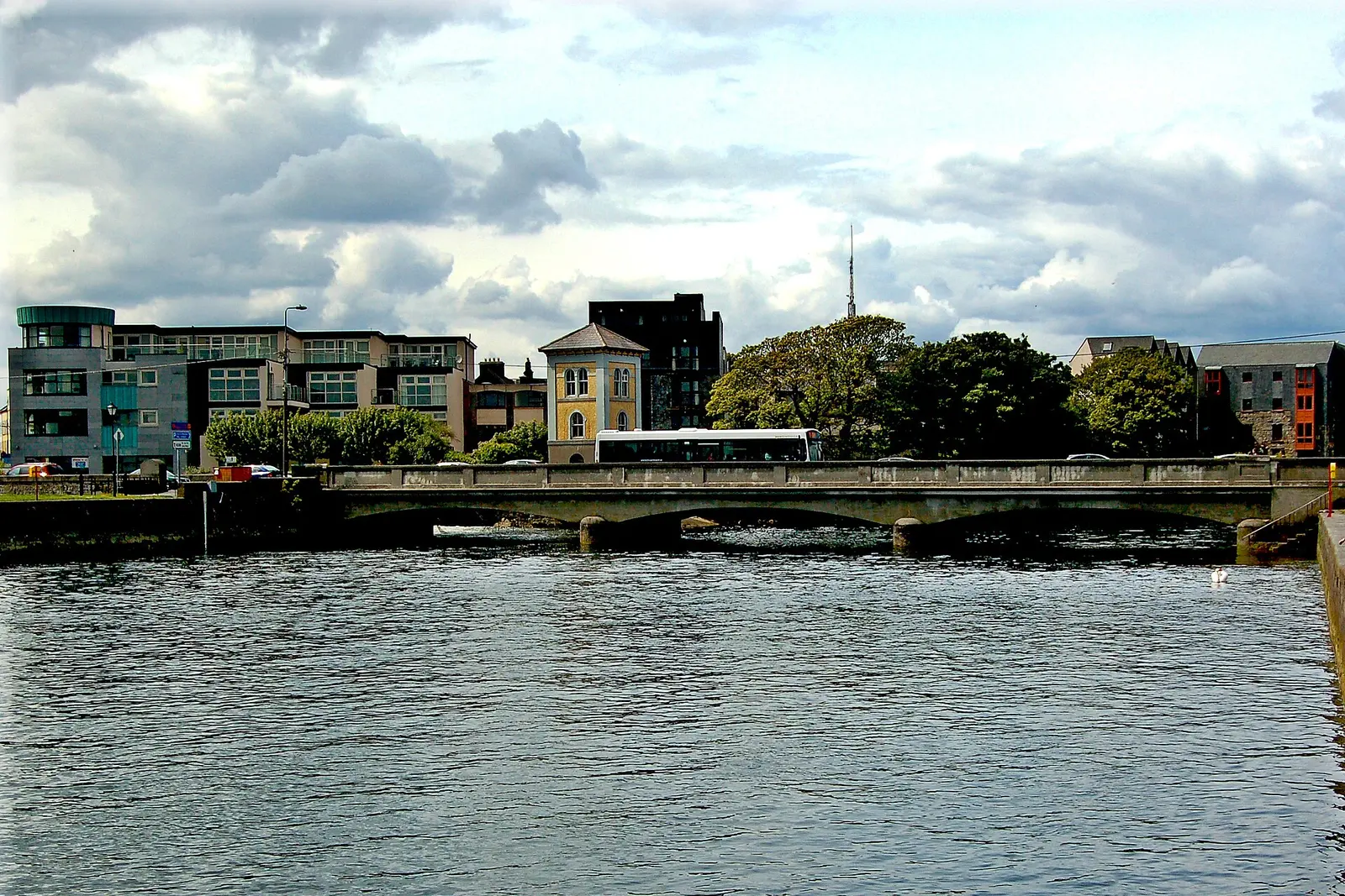
Joseph Mischyshyn, CC BY-SA 2.0 via Wikimedia Commons

Castles, abbeys, old churches, beaches, viewpoints and parks within 12 km, closest first, plus 9 ringforts and ancient sites and 3 holy wells on their own pages.
- Padraic O'Conaire StatueMonuments · 15 m
- Kennedy Park PlaygroundPlaygrounds · 17 m
- The Browne DoorwayMonuments · 55 m
- Eyre SquareParks · 62 m
- City WallsAttractions · 156 m
- Magdalene LaundryMonuments · 221 m
- Seán DugganMonuments · 249 m
- Lynch's CastleMonuments · 250 m
- Mechanics InstituteMonuments · 275 m
Castles · Ringforts · Holy wells · Beaches · Hotels
Galway in pictures
Photographs of the place and the country around it, each from an open archive and credited to the person who took it.
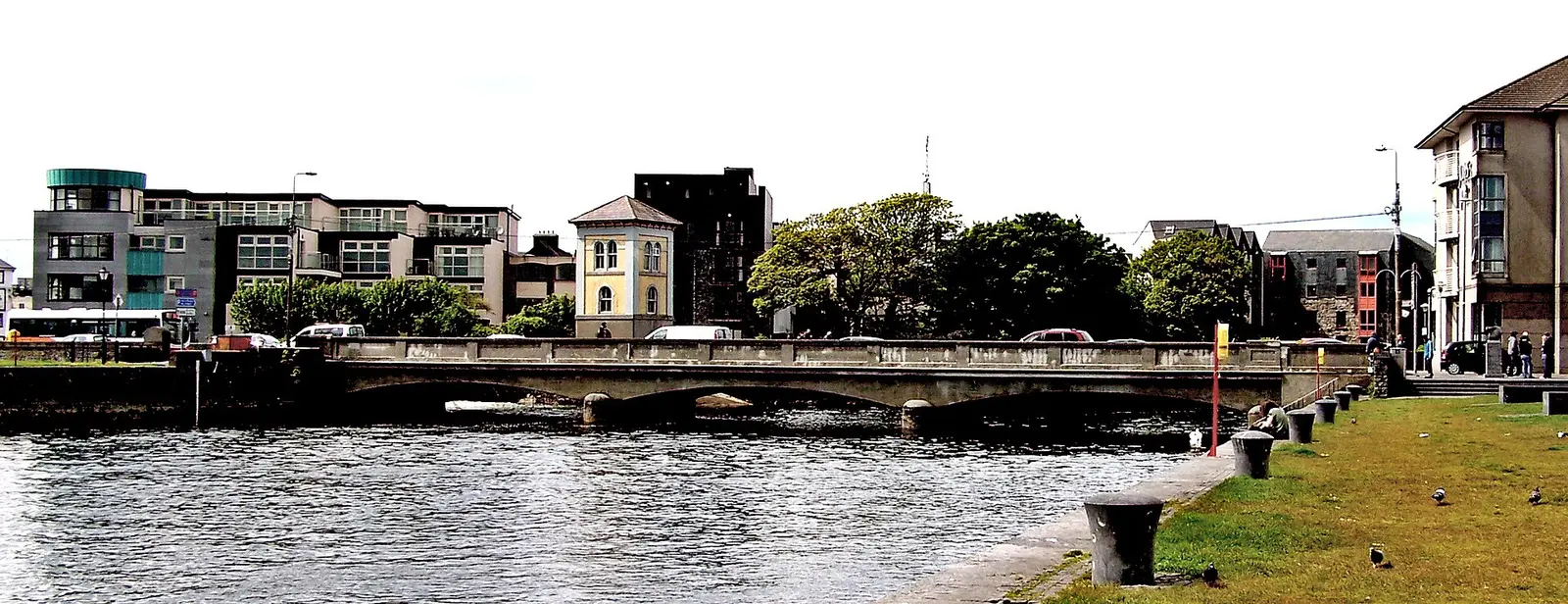
Suzanne Mischyshyn, CC BY-SA 2.0 via Wikimedia Commons

Ian Hawfinch, CC BY-SA 2.0 via Wikimedia Commons

Klaus Liphard, CC BY-SA 2.0 via Wikimedia Commons
Joseph Mischyshyn, CC BY-SA 2.0 via Wikimedia Commons
Suzanne Mischyshyn, CC BY-SA 2.0 via Wikimedia Commons

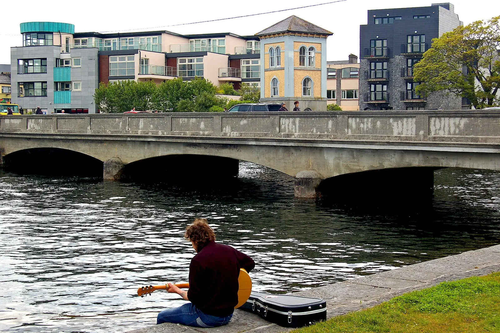
Joseph Mischyshyn, CC BY-SA 2.0 via Wikimedia Commons

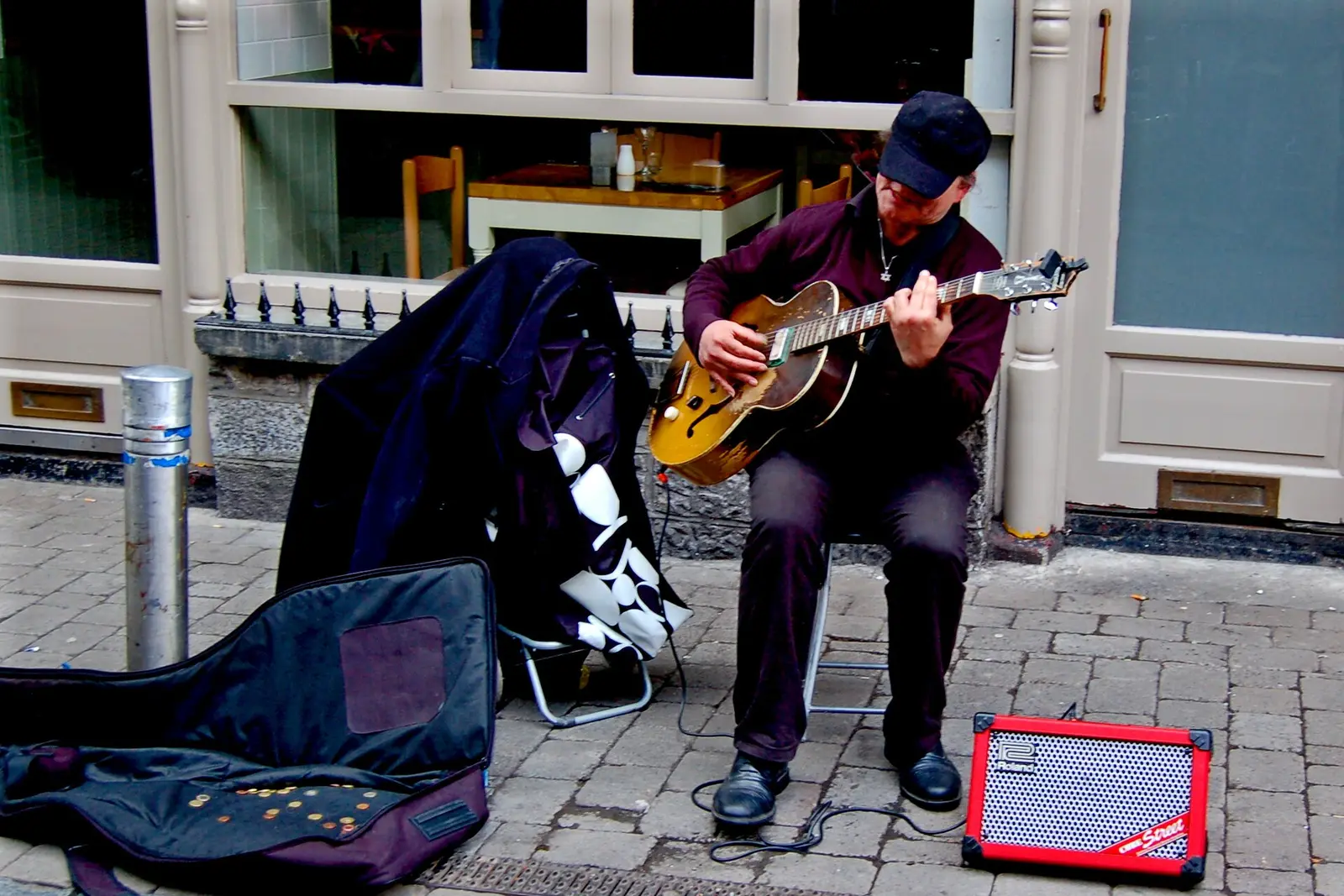
Joseph Mischyshyn, CC BY-SA 2.0 via Wikimedia Commons

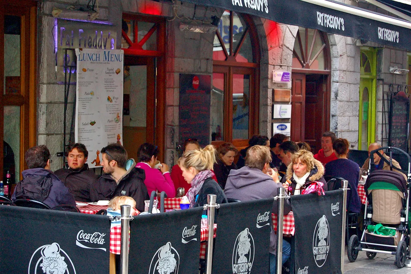
Joseph Mischyshyn, CC BY-SA 2.0 via Wikimedia Commons

Suzanne Mischyshyn, CC BY-SA 2.0 via Wikimedia Commons
Gareth James, CC BY-SA 2.0 via Wikimedia Commons
Marathon, CC BY-SA 2.0 via Wikimedia Commons

Marathon, CC BY-SA 2.0 via Wikimedia Commons
Questions people ask
Where is Galway?
What is the population of Galway?
Why is Galway called the City of the Tribes?
What is there to do in Galway?
What is the history of Galway?
What is the weather like in Galway today?
How the model is built
The buildings are OpenStreetMap footprints, read on 2026-09-18, stood up to the height the map records or a plain two storeys where it records none. Streets, water and the base map come from the same project through OpenFreeMap. Places are the named shops, services and public buildings on the map; each has its own page.
A building takes the colour of the kind of place inside it: restaurants in red, pharmacies in green, schools in yellow. Nothing is invented to fill a gap: a missing fact is shown as missing, with a link to add it to the map. More about the model.